Okozu diversion channel
In the Bunsui district a large channel leaves the Shinano River and heads towards the Sea of Japan. It was built in the early twentieth century to control flooding on the plain, and it cuts a bold diagonal across the map.
Minimalistiskt kortplakat · Japan
37.6645° N / 138.9252° E
A flat grid of streets and paddies on the Echigo Plain, bounded by the Shinano River and cut through by a great diversion channel


Ein býur, fimm stemningar
Trýst á ein stíl fyri at síggja hann á veggnum. Allir stílar kosta tað sama — sum prent, í ramma ella sum HD-fílur.
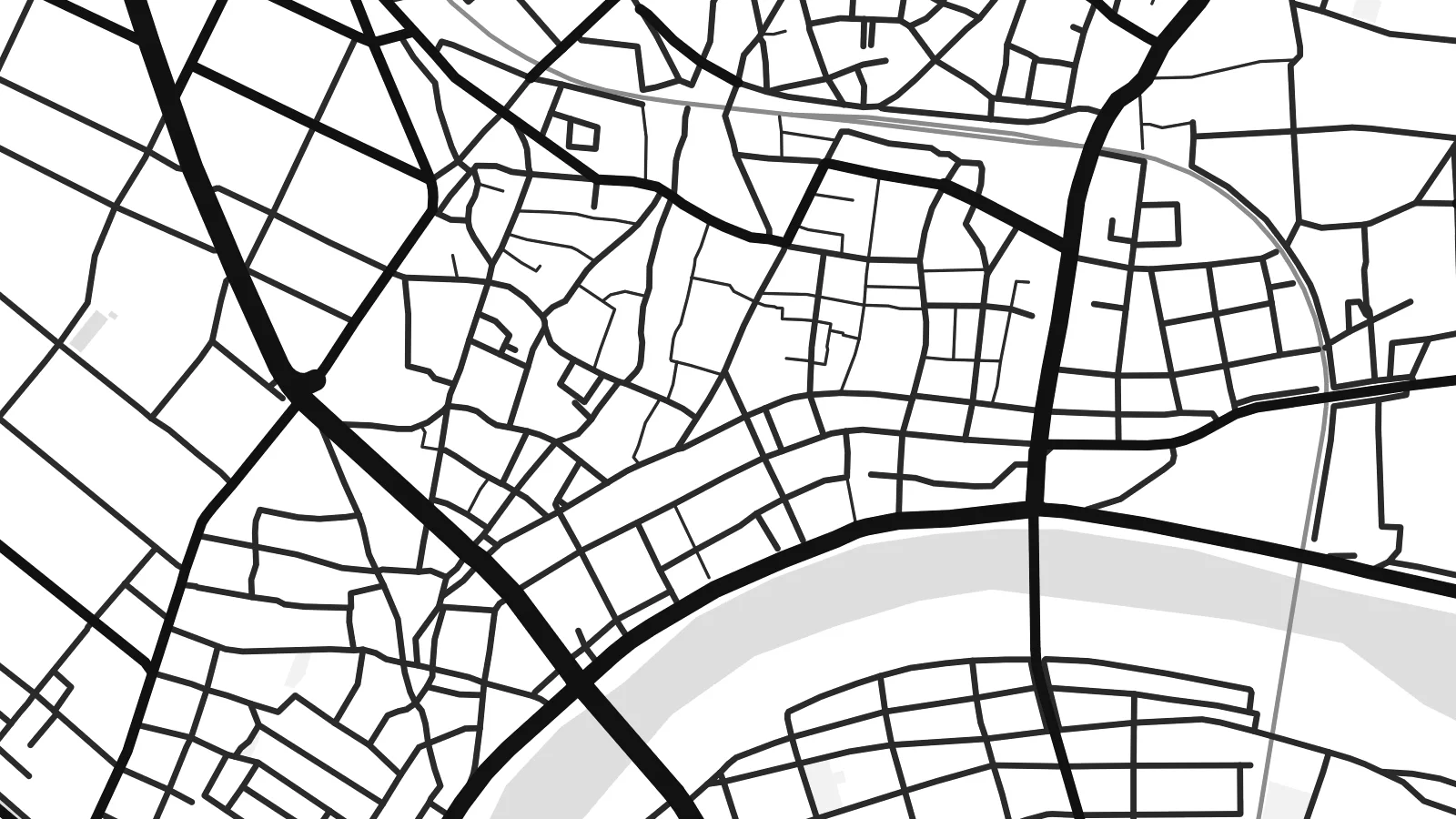 Veruligar pixlar · 24 × 36″ prentfíla
Prentskarpt
Hetta er ein 100% útskurður av teirri veruligu prentfíluni. Hvør plakat — prentað, í ramma ella niðurhalað — verður gjørd á okkara ambætarum við 300 DPI, upp til 7,200 × 10,800 pixlar, so eisini tær smæstu gøtur halda seg skarpar á einum 24 × 36″ prenti.
Á veggnum


Kortið
Seen from above, Tsubame sits on the wide, level ground of the Echigo Plain in Niigata Prefecture. The Shinano River, Japan's longest, runs along its edge, and smaller waterways cross the plain beside it. The built-up centre has a fairly tight grain of streets. Beyond it the pattern opens into long rectangular rice fields, so the map moves from dense linework to a quieter geometry of field boundaries and farm roads.
The city in its current form dates from 2006, when Tsubame merged with the neighbouring towns of Yoshida and Bunsui. On the map this shows as more than one cluster of streets, joined by roads and railway lines across open farmland. The Joetsu Shinkansen passes nearby, with Tsubame-Sanjo Station close to the boundary with Sanjo. A Tsubame map poster shows how these separate settlements fit together on the plain.
Tsubame is best known for metalworking. Nail-making began here centuries ago and later gave way to copperware. Today the city is one of Japan's main centres for stainless-steel cutlery and tableware. Workshops and small factories sit among the houses, though the map shows none of that directly. It records the setting instead: flat ground, reliable water and routes to the rest of the country, which helped a local craft grow into an industry.
In the Bunsui district a large channel leaves the Shinano River and heads towards the Sea of Japan. It was built in the early twentieth century to control flooding on the plain, and it cuts a bold diagonal across the map.
The broad river curves along the city's edge, with embankments and wide floodplain on either side. In black and white it forms the main natural line on the poster, and the street pattern is set against it.
Around the urban areas, rice fields divide the land into long regular plots with straight farm roads between them. The result is a calm, almost woven texture that sets off the denser streets of the town centres.
Ger tað til títt
Legg ein dag, eitt navn ella egnan tekst afturat, skift stíl, stødd ella snið.
Ókeypis forskoðanin er í lágari upploysing og hevur vatnmerki. Prent og HD-fílur verða gjørdar við 300 DPI, upp til 7,200 × 10,800 px, uttan vatnmerki.
Hví Tsubame
For people from Tsubame, or anyone who owns a set of its cutlery, this map is a quiet reminder of a place that makes useful things. The river, the channel and the fields give it a clear structure, and it looks good in a kitchen, a workshop or a study.
You can personalise the title, subtitle and coordinates line to mark a hometown, a factory visit or a family date. There are five styles: Classic black and white, Noir, Paper, Blueprint or Sand. You can buy HD digital files for $9, or order a matte print with an optional wooden frame.
Panta Tsubame-plakatið| Prentstødd | Upploysn | Fílur |
|---|---|---|
| 30 × 40 cm11.8 × 15.7″ | 3,543 × 4,724 px | PNG · PDF |
| 29.7 × 42 cm (A3)11.7 × 16.5″ | 3,508 × 4,961 px | PNG · PDF |
| 42 × 59.4 cm (A2)16.5 × 23.4″ | 4,961 × 7,016 px | PNG · PDF |
| 45.7 × 61 cm18 × 24″ | 5,400 × 7,200 px | PNG · PDF |
| 50 × 70 cm19.7 × 27.6″ | 5,906 × 8,268 px | PNG · PDF |
| 61 × 91.4 cm24 × 36″ | 7,200 × 10,800 px | PNG · PDF |
Til samanberingar er ókeypis forsýningin 900 px breið, við vatnmerki og ætlað til skerm. HD-fílurnar hava upp til 8 ferðir so høga upploysn í hvørja átt og verða prentaðar reint í fullari plakatstødd.
Vel ein stíl ovast á síðuni, og vel síðani Prentað Plakat — eina stødd og, um tú vil, eina ramma — ella Digital HD-Fílur. Tað tekur bara eitt stig at ganga til kassa, og pantanarsíðan tín dagførist so skjótt sum gjaldið er gjøgnumført.
Tað verður prentað á 200 gsm matt kvalitetspappír í einari av seks støddum, frá 30 × 40 cm til 24 × 36″. Prentaðar plakatir byrja á $39, sending íroknað.
Ja. Vel eina ramma av massivum træi í svørtum, hvítum, natúrligum eik ella dekkum træi. Hon kemur við glassi, sum ikki brotnar, og er klár at hongja upp. Plakatir í ramma byrja á $99, sending íroknað.
Flutningur er ókeypis til 60+ landa. Hvør plakat verður prentaður hjá tí prentfelaga okkara, sum er næstur, í 30+ londum, og kemur vanliga fram á 3–7 arbeiðsdøgum. Tú kanst fylgja støðuni og sporing undir Mínar pantanir. Fá lond taka 2–5 vikur, og har vit ikki enn senda, sigur vevsíðan tær frá, áðrenn tú rindar.
Send okkum eitt mynd innan 14 dagar eftir móttøku, og vit prenta tað umaftur ókeypis ella endurgjalda tær.
Ja. Í ritlinum á hesi síðu kanst tú broyta heitið, undirheitið og koordinatlinjuna til hvat sum helst, og velja stíl og stødd. Prentaðar, ramma- og digitalar pantanir brúka allar sama honnun, sum tú hevur gjørt.
Fyri $9 fært tú 300 DPI PNG- og prentklárar PDF-fílur í øllum seks støddum, uttan vatnmerki, so tú kanst prenta hvar sum helst. Ikki vís enn? Halda niður eina ókeypis forskoðan við vatnmerki fyrst.
