Diagonal outline
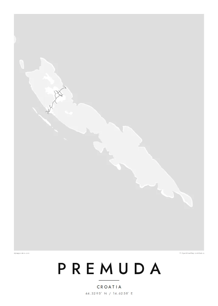
Premuda follows the northwest-to-southeast direction common to the Dalmatian islands, so its long shape crosses the poster at an angle.
Affiche carte minimaliste · Croatie
44.3295° N / 14.6258° E
A slender limestone island on the outer edge of the Zadar archipelago, lying diagonally in the open Adriatic
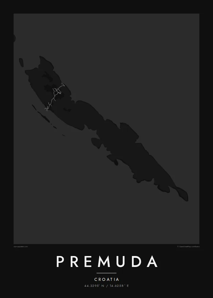


Une ville, cinq ambiances
Touchez un style pour le voir sur le mur. Tous les styles coûtent le même prix — imprimé, encadré ou en fichiers HD.
 Pixels réels · fichier d'impression 24 × 36″
Netteté d'impression
Ceci est un recadrage à 100 % du fichier d'impression réel. Chaque poster — imprimé, encadré ou téléchargé — est généré sur nos serveurs à 300 DPI, jusqu'à 7,200 × 10,800 pixels, pour que même les plus petites ruelles restent nettes sur un tirage 24 × 36″.
Au mur


La carte
Premuda is one of the outer islands of the Zadar archipelago in Croatia, facing the open Adriatic. On the map it is a narrow, elongated piece of land set on a diagonal, like many islands in this part of the coast. It has a single small settlement and very few roads. The coastline, with small coves and rocky points, provides most of the detail.
The sea around Premuda is known to divers for its underwater caves and rock formations. The island is also linked to a well-documented naval event: in June 1918, Italian torpedo boats sank the Austro-Hungarian battleship Szent István in the waters off Premuda.
A Premuda map poster is quiet and linear. The island runs across the frame, and neighbouring islands may appear near the edges, hinting at the parallel ridges that shape the Dalmatian coast. It is a good choice for people who prefer the less-visited islands of the Adriatic.
Premuda follows the northwest-to-southeast direction common to the Dalmatian islands, so its long shape crosses the poster at an angle.
The island's one settlement and its short roads form a small cluster of lines. The rest of the island stays nearly blank.
The western shore faces the open Adriatic with no islands beyond it, emphasising Premuda's position at the edge of the archipelago.
Personnalisez-la
Ajoutez une date, un nom ou votre propre phrase, changez de style, de format ou d'orientation.
L'aperçu gratuit est en basse résolution avec un filigrane. Les impressions et fichiers HD sont générés à 300 DPI, jusqu'à 7,200 × 10,800 px, sans filigrane.
Pourquoi Premuda
Premuda appeals to sailors, divers and anyone who has spent slow summers on the outer Croatian islands. The spare map suits a place without much traffic, where the shape of the land and the surrounding water are the main points of interest.
Personalise the title, subtitle and coordinates, perhaps with the name of a boat or a summer year. Choose from Classic black & white, Noir, Paper, Blueprint or Sand.
Commander le poster Premuda| Format d'impression | Résolution | Fichiers |
|---|---|---|
| 30 × 40 cm (11.8 × 15.7″) | 3,543 × 4,724 px | PNG · PDF |
| 29.7 × 42 cm (A3, 11.7 × 16.5″) | 3,508 × 4,961 px | PNG · PDF |
| 42 × 59.4 cm (A2, 16.5 × 23.4″) | 4,961 × 7,016 px | PNG · PDF |
| 45.7 × 61 cm (18 × 24″) | 5,400 × 7,200 px | PNG · PDF |
| 50 × 70 cm (19.7 × 27.6″) | 5,906 × 8,268 px | PNG · PDF |
| 61 × 91.4 cm (24 × 36″) | 7,200 × 10,800 px | PNG · PDF |
À titre de comparaison, l'aperçu gratuit fait 900 px de large, porte un filigrane et est destiné aux écrans. Les fichiers HD offrent jusqu'à 8× plus de résolution dans chaque direction et s'impriment parfaitement en taille réelle.
Choisissez un style en haut de la page, puis sélectionnez Poster Imprimé — une taille et, si vous le souhaitez, un cadre — ou les Fichiers Numériques HD. Le paiement se fait en une seule étape, et votre page de commande se met à jour dès que le paiement est validé.
Il est imprimé sur papier mat premium 200 g/m² dans l'une des six tailles, de 30 × 40 cm à 24 × 36″. Les posters imprimés démarrent à {printFrom}, livraison incluse.
Oui. Choisissez un cadre en bois massif noir, blanc, chêne naturel ou bois foncé. Il est livré avec un verre incassable et prêt à accrocher. Les posters encadrés démarrent à {framedFrom}, livraison incluse.
La livraison est gratuite dans le monde entier. Chaque poster est imprimé par le partenaire d'impression le plus proche parmi nos 30+ pays partenaires et arrive généralement sous 3 à 7 jours ouvrés. Vous pouvez suivre le statut et le suivi dans Mes Commandes.
Envoyez-nous une photo dans les 14 jours suivant la livraison et nous le réimprimerons gratuitement ou vous rembourserons.
Oui. Dans l'éditeur de cette page, modifiez le titre, le sous-titre et la ligne de coordonnées comme vous le souhaitez, puis choisissez un style et une taille. Les commandes imprimées, encadrées et numériques utilisent exactement votre design.
Pour $9, vous obtenez des fichiers PNG 300 DPI et PDF prêts à imprimer dans les six tailles, sans filigrane, à imprimer partout. Pas encore sûr ? Téléchargez d'abord un aperçu gratuit avec filigrane.
À proximité
