Old town oval
Rinteln's historic centre forms a compact oval by the Weser, and its outline still traces the line of the former town fortifications.
Affiche carte minimaliste · Allemagne
52.1860° N / 9.0792° E
A Weser town with a compact, walled-shaped old centre on the river, framed by forested hills on both banks.


Une ville, cinq ambiances
Touchez un style pour le voir sur le mur. Tous les styles coûtent le même prix — imprimé, encadré ou en fichiers HD.
 Pixels réels · fichier d'impression 24 × 36″
Netteté d'impression
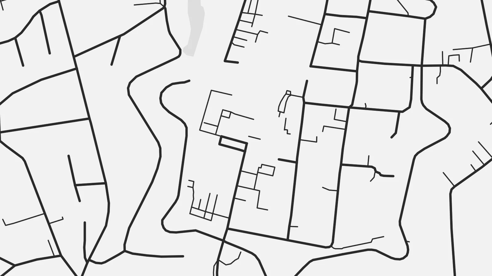
Ceci est un recadrage à 100 % du fichier d'impression réel. Chaque poster — imprimé, encadré ou téléchargé — est généré sur nos serveurs à 300 DPI, jusqu'à 7,200 × 10,800 pixels, pour que même les plus petites ruelles restent nettes sur un tirage 24 × 36″.
Au mur


La carte
Rinteln lies on the Weser in the Schaumburg district of Lower Saxony, in a broad valley between the Weser Uplands and the hills of the Wesergebirge. From above, the old town is a compact oval on the south bank of the river. The shape of its former fortifications can still be read in the street pattern around it, with the market square at the centre.
For nearly two centuries, from 1621 to 1810, Rinteln was home to a university, and the old centre has fine examples of Weser Renaissance architecture. Across the river, newer districts and the railway extend along the valley floor, while forested slopes close off the view to the north and south.
A Rinteln map poster brings together the curve of the Weser, the neat outline of the historic core and the wooded hills around it. It is a small town with a clear structure, and the old centre stands out well at every print size.
Rinteln's historic centre forms a compact oval by the Weser, and its outline still traces the line of the former town fortifications.
The river runs past the old town in a broad curve, and the bridge connecting both banks is a clear focal point of the map.
Forested hills rise on both sides of the valley and frame the town, giving the composition a natural border to the north and south.
Personnalisez-la
Ajoutez une date, un nom ou votre propre phrase, changez de style, de format ou d'orientation.
L'aperçu gratuit est en basse résolution avec un filigrane. Les impressions et fichiers HD sont générés à 300 DPI, jusqu'à 7,200 × 10,800 px, sans filigrane.
Pourquoi Rinteln
For people from the Weser valley, former students and anyone who has cycled the Weser route, this map of Rinteln carries a clear sense of place. The historic core makes it a handsome, balanced picture.
Personalise the title and subtitle with a name or date, and edit the coordinates line. Choose from five styles, from Classic black & white to Blueprint. Buy it as a $9 digital file or a printed poster shipped from a nearby partner.
Commander le poster Rinteln| Format d'impression | Résolution | Fichiers |
|---|---|---|
| 30 × 40 cm (11.8 × 15.7″) | 3,543 × 4,724 px | PNG · PDF |
| 29.7 × 42 cm (A3, 11.7 × 16.5″) | 3,508 × 4,961 px | PNG · PDF |
| 42 × 59.4 cm (A2, 16.5 × 23.4″) | 4,961 × 7,016 px | PNG · PDF |
| 45.7 × 61 cm (18 × 24″) | 5,400 × 7,200 px | PNG · PDF |
| 50 × 70 cm (19.7 × 27.6″) | 5,906 × 8,268 px | PNG · PDF |
| 61 × 91.4 cm (24 × 36″) | 7,200 × 10,800 px | PNG · PDF |
À titre de comparaison, l'aperçu gratuit fait 900 px de large, porte un filigrane et est destiné aux écrans. Les fichiers HD offrent jusqu'à 8× plus de résolution dans chaque direction et s'impriment parfaitement en taille réelle.
Choisissez un style en haut de la page, puis sélectionnez Poster Imprimé — une taille et, si vous le souhaitez, un cadre — ou les Fichiers Numériques HD. Le paiement se fait en une seule étape, et votre page de commande se met à jour dès que le paiement est validé.
Il est imprimé sur papier mat premium 200 g/m² dans l'une des six tailles, de 30 × 40 cm à 24 × 36″. Les posters imprimés démarrent à {printFrom}, livraison incluse.
Oui. Choisissez un cadre en bois massif noir, blanc, chêne naturel ou bois foncé. Il est livré avec un verre incassable et prêt à accrocher. Les posters encadrés démarrent à {framedFrom}, livraison incluse.
La livraison est gratuite dans le monde entier. Chaque poster est imprimé par le partenaire d'impression le plus proche parmi nos 30+ pays partenaires et arrive généralement sous 3 à 7 jours ouvrés. Vous pouvez suivre le statut et le suivi dans Mes Commandes.
Envoyez-nous une photo dans les 14 jours suivant la livraison et nous le réimprimerons gratuitement ou vous rembourserons.
Oui. Dans l'éditeur de cette page, modifiez le titre, le sous-titre et la ligne de coordonnées comme vous le souhaitez, puis choisissez un style et une taille. Les commandes imprimées, encadrées et numériques utilisent exactement votre design.
Pour $9, vous obtenez des fichiers PNG 300 DPI et PDF prêts à imprimer dans les six tailles, sans filigrane, à imprimer partout. Pas encore sûr ? Téléchargez d'abord un aperçu gratuit avec filigrane.
