Fuji slopes
The west of the map rises towards the volcano through forest and open ground. The grid fades away as the land climbs higher.
Postè kat minimalis · Japan
35.3186° N / 138.9434° E
A town on the eastern foot of Mount Fuji, its streets spreading across long volcanic slopes and upland plains


Yon vil, senk atmosfè
Peze yon style pou wè li sou mi a. Chak style koute menm pri — enprime, ankadre oswa kòm fichye HD.
 Piksèl reyèl · fichye enpresyon 24 × 36″
Byen klè pou enprime
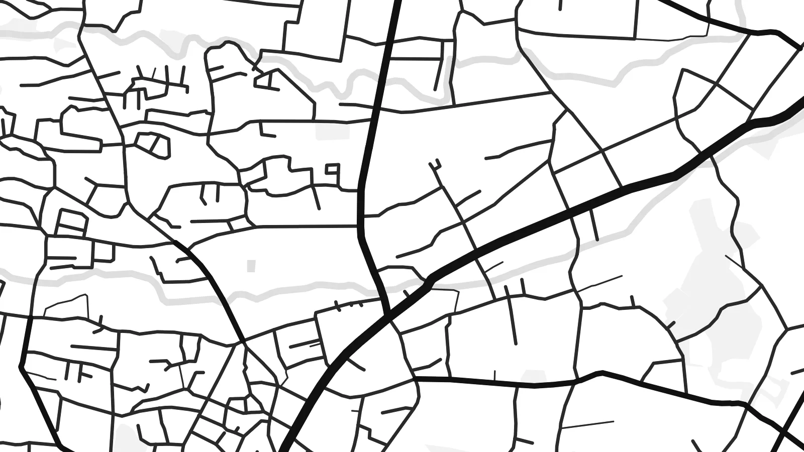
Sa a se yon zoom 100% sou vrè fichye enpresyon an. Chak afich — enprime, ankadre oswa telechaje — jenere sou sèvè nou yo nan 300 DPI, jiska 7,200 × 10,800 piksèl, konsa menm pi piti wout yo rete klè sou yon enpresyon 24 × 36″.
Sou mi a


Kat la
Gotemba lies on the eastern side of Mount Fuji, and the mountain shapes everything on its map. The town spreads across a sloping upland plain. Roads run upward towards the peak, and the land rises steadily to the west, where the streets thin out into forest, lava fields and open training grounds.
The centre forms around the station on the JR Gotemba Line and the old roads through the valley. Around it lie residential districts, farmland and the main expressway, which link the town to Tokyo and Nagoya. Big open areas to the north-west are military training land, including Camp Fuji, used by US forces.
Most visitors know Gotemba as the start of one of the Fuji climbing routes, or for its large premium outlet mall with views of the peak. A Gotemba map poster shows the town and its setting, with a built-up area spreading out below the huge, mostly empty slopes of Japan's highest mountain.
The west of the map rises towards the volcano through forest and open ground. The grid fades away as the land climbs higher.
One of the main climbing routes to the summit begins above the town. It links the streets directly to the mountain.
The Tomei Expressway and the local roads run through the valley. They draw long, sweeping lines that connect Gotemba with Tokyo and the Pacific coast.
Fè l pou ou
Ajoute yon dat, yon non oswa pwòp fraz pa w, chanje estil, gwosè oswa oryantasyon.
Apèsi gratis la se nan rezolisyon ba avèk yon watèrmak. Enpresyon ak fichye HD yo jenere nan 300 DPI, jiska 7,200 × 10,800 px, san watèrmak.
Poukisa Gotemba
Gotemba is a meaningful map for climbers who started their ascent there, for people who lived by the mountain, and for anyone who remembers Fuji appearing above the rooftops on a clear morning. It is a map of a place defined by what towers above it.
Add the date you reached the summit, or a simple title and subtitle, and adjust the coordinates line. Pick from Classic black & white, Noir, Paper, Blueprint and Sand. Digital files come in six sizes, and printed posters are shipped by partners in more than 30 countries.
Kòmande afich Gotemba a| Gwosè enpresyon | Rezolisyon | Fichye |
|---|---|---|
| 30 × 40 cm (11.8 × 15.7″) | 3,543 × 4,724 px | PNG · PDF |
| 29.7 × 42 cm (A3, 11.7 × 16.5″) | 3,508 × 4,961 px | PNG · PDF |
| 42 × 59.4 cm (A2, 16.5 × 23.4″) | 4,961 × 7,016 px | PNG · PDF |
| 45.7 × 61 cm (18 × 24″) | 5,400 × 7,200 px | PNG · PDF |
| 50 × 70 cm (19.7 × 27.6″) | 5,906 × 8,268 px | PNG · PDF |
| 61 × 91.4 cm (24 × 36″) | 7,200 × 10,800 px | PNG · PDF |
Pou konpare, apèsi gratis la gen 900 px lajè, li gen filigràn epi li fèt pou ekran. Fichye HD yo gen jiska 8 fwa plis rezolisyon nan chak direksyon epi yo enprime pwòp nan gwosè postè konplè.
Chwazi yon style anlè paj la, epi chwazi Afich Enprime — yon gwosè epi, si w vle, yon kad — oswa Fichye Dijital HD. Peman an fèt nan yon sèl etap, epi paj kòmand ou a mete ajou kou peman an konfime.
Li enprime sou papye mat premium 200 gsm nan youn nan sis gwosè, soti nan 30 × 40 cm rive nan 24 × 36″. Afich enprime yo kòmanse nan {printFrom}, livrezon enkli.
Wi. Chwazi yon kad an bwa solid nan koulè nwa, blan, chenn natirèl oswa bwa fonse. Li vin ak yon vit ki pa kase epi li pare pou pandye. Afich ankadre yo kòmanse nan {framedFrom}, livrezon enkli.
Livrezon gratis toupatou nan mond lan. Chak afich enprime nan patnè enpresyon ki pi pre nan plis pase 30 peyi, e li rive jeneralman nan 3–7 jou ouvrab. Ou ka swiv estati ak suivi anba My Orders.
Voye nou yon foto nan 14 jou apre livrezon an epi nou ap reenprime li gratis oswa remèt ou lajan w.
Wi. Nan editè a sou paj sa a, chanje tit la, soutit la ak liy kowòdone yo pou nenpòt sa w vle, epi chwazi yon style ak yon gwosè. Kòmand enprime, ankadre ak dijital yo tout itilize egzakteman desen w lan.
Pou $9 ou jwenn fichye PNG 300 DPI ak PDF pare-pou-enprime nan tout sis gwosè yo, san watèrmak, pou enprime kote w vle. Pa sèten toujou? Telechaje yon apèsi gratis ak watèrmak anvan.
