Al-Muizz Street
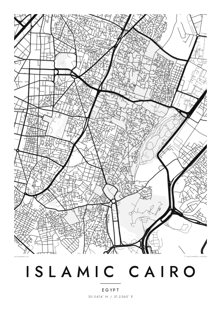
The long north–south spine of the Fatimid city, running between its old gates. On the map it is one of the few continuous lines through the dense district.
Postè kat minimalis · Egypt
30.0414° N / 31.2565° E
A dense historic core east of the Nile, threaded by one long medieval street and framed by the Citadel and cemeteries

Yon vil, senk atmosfè
Peze yon style pou wè li sou mi a. Chak style koute menm pri — enprime, ankadre oswa kòm fichye HD.
 Piksèl reyèl · fichye enpresyon 24 × 36″
Byen klè pou enprime
Sa a se yon zoom 100% sou vrè fichye enpresyon an. Chak afich — enprime, ankadre oswa telechaje — jenere sou sèvè nou yo nan 300 DPI, jiska 7,200 × 10,800 piksèl, konsa menm pi piti wout yo rete klè sou yon enpresyon 24 × 36″.
Sou mi a


Kat la
Islamic Cairo, or Historic Cairo, is the medieval heart of the city, east of the modern centre and the Nile. From above, it is one of the densest street patterns anywhere. Narrow lanes branch and turn, crossed by only a few straighter routes. On its eastern side, the fabric gives way to the large, open cemetery areas known as the City of the Dead.
The core of the district dates back to the Fatimid foundation of al-Qahira in 969. Al-Muizz Street runs north to south through it, lined with mosques, madrasas and palaces from many dynasties. Its old city gates, including Bab Zuwayla, still stand. Al-Azhar Mosque, founded in 970, lies nearby and is linked to one of the oldest universities in the world.
To the south, the Citadel of Saladin sits on a spur of the Muqattam hills, overlooking the city. The Khan el-Khalili market fills the blocks around al-Hussein. The area was listed by UNESCO as a World Heritage Site in 1979. An Islamic Cairo map poster shows the medieval city at full density, with the Citadel and cemeteries at its edges.
The long north–south spine of the Fatimid city, running between its old gates. On the map it is one of the few continuous lines through the dense district.
Saladin's fortress stands on high ground at the south-east edge of the district. Its walled compound is clearly separated from the surrounding streets.
Large cemetery districts stretch along the eastern edge. They form a distinct pattern of enclosures and paths beside the living city.
Fè l pou ou
Ajoute yon dat, yon non oswa pwòp fraz pa w, chanje estil, gwosè oswa oryantasyon.
Apèsi gratis la se nan rezolisyon ba avèk yon watèrmak. Enpresyon ak fichye HD yo jenere nan 300 DPI, jiska 7,200 × 10,800 px, san watèrmak.
Poukisa Islamic Cairo
Islamic Cairo draws historians, travellers, architects and people whose families come from its lanes. A map captures the density that is hard to take in on the ground and gives it a calm, readable shape.
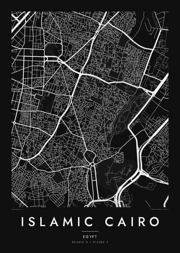
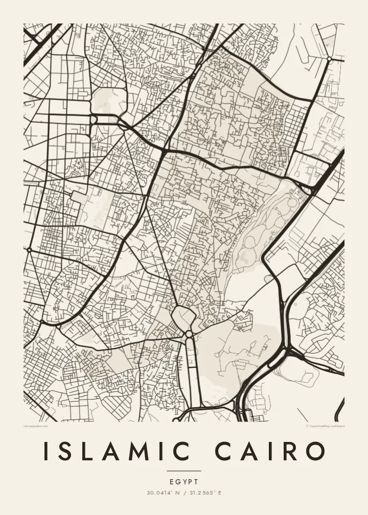
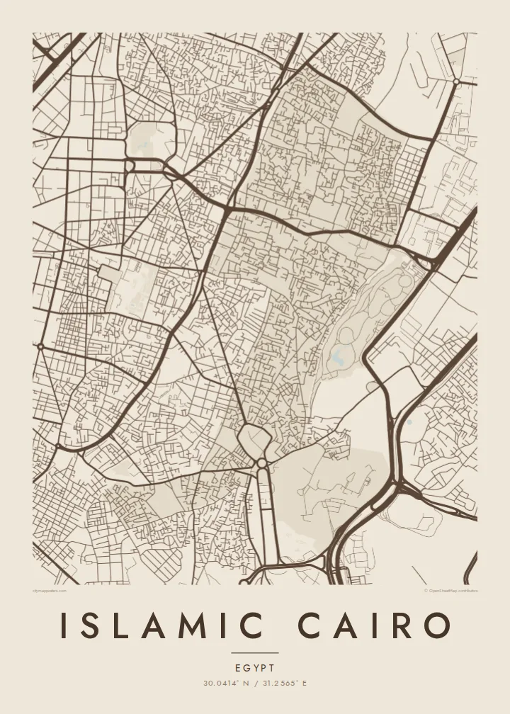
Set your own title, subtitle and coordinates, perhaps with a date or a family name. Choose one of five styles. Sand gives the medieval city a warm, desert-toned look, while Classic black & white emphasises its intricate street pattern.
Kòmande afich Islamic Cairo a| Gwosè enpresyon | Rezolisyon | Fichye |
|---|---|---|
| 30 × 40 cm (11.8 × 15.7″) | 3,543 × 4,724 px | PNG · PDF |
| 29.7 × 42 cm (A3, 11.7 × 16.5″) | 3,508 × 4,961 px | PNG · PDF |
| 42 × 59.4 cm (A2, 16.5 × 23.4″) | 4,961 × 7,016 px | PNG · PDF |
| 45.7 × 61 cm (18 × 24″) | 5,400 × 7,200 px | PNG · PDF |
| 50 × 70 cm (19.7 × 27.6″) | 5,906 × 8,268 px | PNG · PDF |
| 61 × 91.4 cm (24 × 36″) | 7,200 × 10,800 px | PNG · PDF |
Pou konpare, apèsi gratis la gen 900 px lajè, li gen filigràn epi li fèt pou ekran. Fichye HD yo gen jiska 8 fwa plis rezolisyon nan chak direksyon epi yo enprime pwòp nan gwosè postè konplè.
Chwazi yon style anlè paj la, epi chwazi Afich Enprime — yon gwosè epi, si w vle, yon kad — oswa Fichye Dijital HD. Peman an fèt nan yon sèl etap, epi paj kòmand ou a mete ajou kou peman an konfime.
Li enprime sou papye mat premium 200 gsm nan youn nan sis gwosè, soti nan 30 × 40 cm rive nan 24 × 36″. Afich enprime yo kòmanse nan $39, livrezon enkli.
Wi. Chwazi yon kad an bwa solid nan koulè nwa, blan, chenn natirèl oswa bwa fonse. Li vin ak yon vit ki pa kase epi li pare pou pandye. Afich ankadre yo kòmanse nan $99, livrezon enkli.
Livrezon an gratis nan tout mond lan. Se pi pwòch nan patnè enprimri nou yo nan plis pase 30 peyi ki enprime chak afich la, epi li anjeneral rive nan 3–7 jou ouvrab. Ou ka swiv estati ak swivi kolis la nan Kòmand mwen yo. Gen kèk peyi ki pran 2–5 semèn, e kote nou poko livre a, sit la di w anvan ou peye.
Voye nou yon foto nan 14 jou apre livrezon an epi nou ap reenprime li gratis oswa remèt ou lajan w.
Wi. Nan editè a sou paj sa a, chanje tit la, soutit la ak liy kowòdone yo pou nenpòt sa w vle, epi chwazi yon style ak yon gwosè. Kòmand enprime, ankadre ak dijital yo tout itilize egzakteman desen w lan.
Pou $9 ou jwenn fichye PNG 300 DPI ak PDF pare-pou-enprime nan tout sis gwosè yo, san watèrmak, pou enprime kote w vle. Pa sèten toujou? Telechaje yon apèsi gratis ak watèrmak anvan.
