Māngere Mountain
A volcanic cone rises above the suburb with its crater still visible. On the map it forms a round open space ringed by streets.
Postè kat minimalis · New Zealand
36.9681° S / 174.7988° E
A South Auckland suburb between volcanic cones and the tidal Manukau Harbour, with the airport runway stretching along its shore.


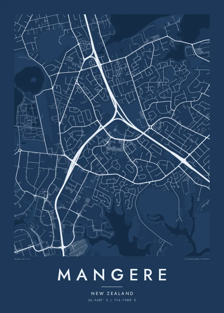

Yon vil, senk atmosfè
Peze yon style pou wè li sou mi a. Chak style koute menm pri — enprime, ankadre oswa kòm fichye HD.
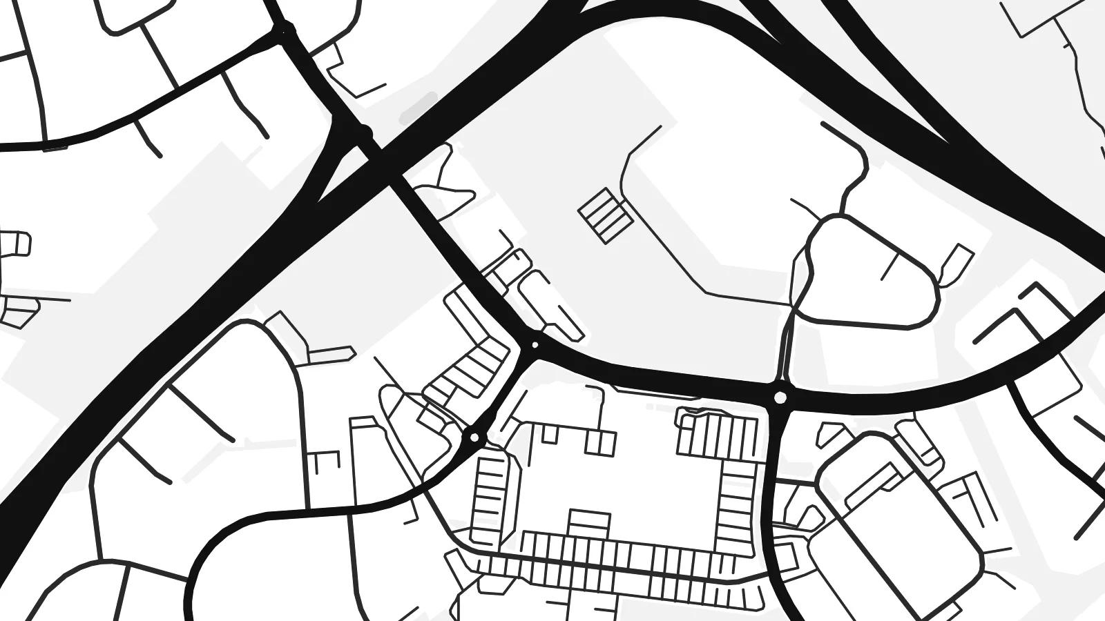 Piksèl reyèl · fichye enpresyon 24 × 36″
Byen klè pou enprime
Sa a se yon zoom 100% sou vrè fichye enpresyon an. Chak afich — enprime, ankadre oswa telechaje — jenere sou sèvè nou yo nan 300 DPI, jiska 7,200 × 10,800 piksèl, konsa menm pi piti wout yo rete klè sou yon enpresyon 24 × 36″.
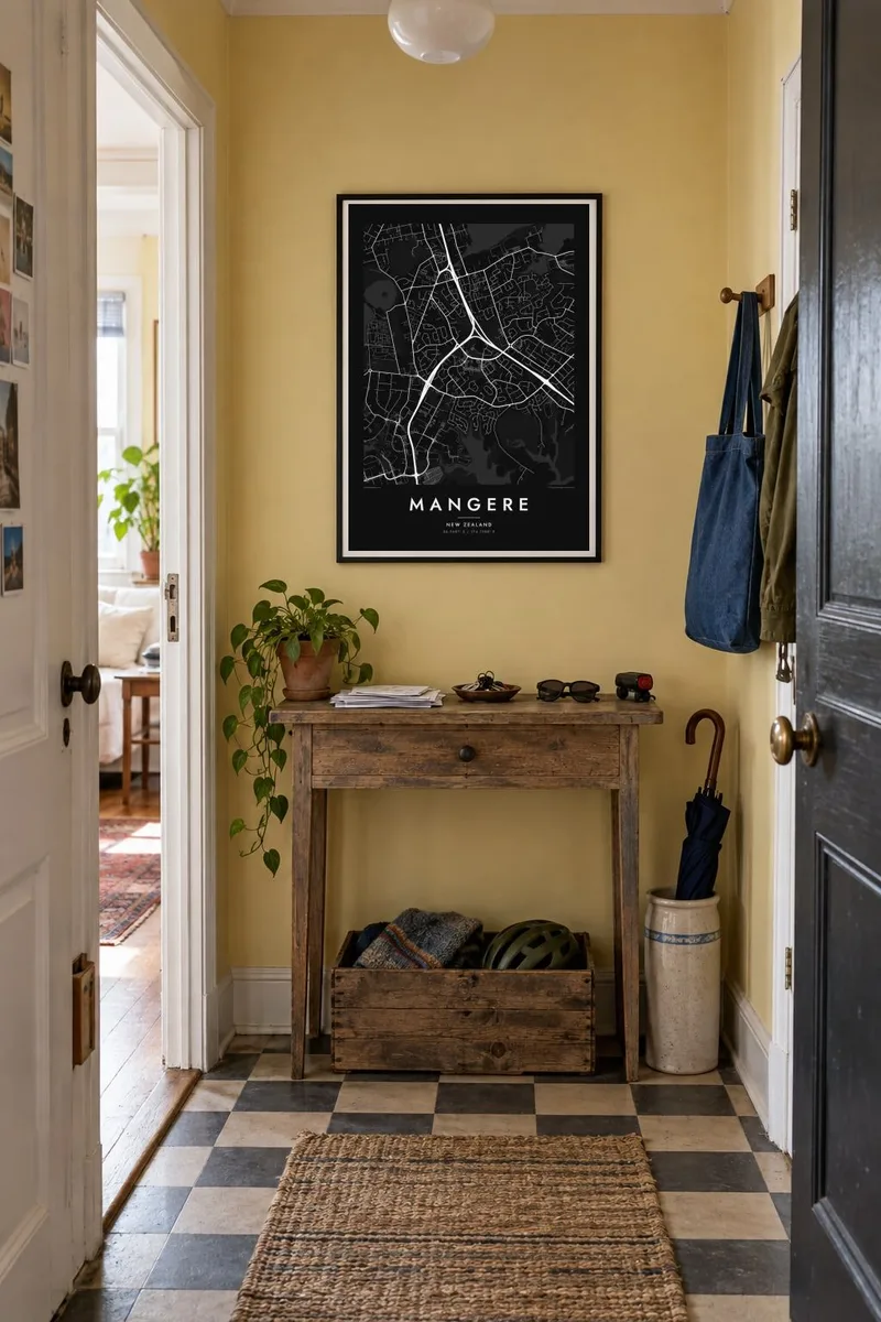
Sou mi a


Kat la
Māngere lies in South Auckland on the northeastern shore of the Manukau Harbour. It is one of the most distinctive areas of the city to see from above. The coastline is full of tidal inlets and mudflats, and several volcanic cones rise from the suburban streets, part of the Auckland volcanic field. The largest, Māngere Mountain, keeps its crater shape and appears on the map as a round patch of open ground.
To the south stretches Auckland Airport, whose long runway runs parallel to the harbour on low, flat land. It is one of the strongest straight lines anywhere in the region. A Mangere map poster sets that engineered geometry against the curving residential streets and the irregular coastline, a contrast that makes the composition striking.
To the north, Māngere Bridge crosses the harbour inlet toward Onehunga. Along the shore, Ambury Regional Park and the stonefields near Ihumātao preserve open land with long Māori and early farming history. Today Māngere is known for its large Pasifika and Māori communities, and its streets, parks and marae carry that identity.
A volcanic cone rises above the suburb with its crater still visible. On the map it forms a round open space ringed by streets.
The long runway of Auckland Airport runs beside the Manukau Harbour, a single precise line that dominates the southern part of the poster.
Tidal inlets, mudflats and coastal parks such as Ambury shape an indented edge where the suburb meets the harbour, giving the map a complex outline.
Fè l pou ou
Ajoute yon dat, yon non oswa pwòp fraz pa w, chanje estil, gwosè oswa oryantasyon.
Apèsi gratis la se nan rezolisyon ba avèk yon watèrmak. Enpresyon ak fichye HD yo jenere nan 300 DPI, jiska 7,200 × 10,800 px, san watèrmak.
Poukisa Mangere
Māngere is where many families landed in New Zealand and built their lives. A map of it holds the streets, the mountain and the harbour, and makes a meaningful gift for anyone whose story runs through South Auckland.
Write a title, add a subtitle such as a family name or a year, and keep the coordinates, then pick Classic black & white, Noir, Paper, Blueprint or Sand. HD files are $9, and printed posters on matte paper can come with an optional wooden frame.
Kòmande afich Mangere a| Gwosè enpresyon | Rezolisyon | Fichye |
|---|---|---|
| 30 × 40 cm11.8 × 15.7″ | 3,543 × 4,724 px | PNG · PDF |
| 29.7 × 42 cm (A3)11.7 × 16.5″ | 3,508 × 4,961 px | PNG · PDF |
| 42 × 59.4 cm (A2)16.5 × 23.4″ | 4,961 × 7,016 px | PNG · PDF |
| 45.7 × 61 cm18 × 24″ | 5,400 × 7,200 px | PNG · PDF |
| 50 × 70 cm19.7 × 27.6″ | 5,906 × 8,268 px | PNG · PDF |
| 61 × 91.4 cm24 × 36″ | 7,200 × 10,800 px | PNG · PDF |
Pou konpare, apèsi gratis la gen 900 px lajè, li gen filigràn epi li fèt pou ekran. Fichye HD yo gen jiska 8 fwa plis rezolisyon nan chak direksyon epi yo enprime pwòp nan gwosè postè konplè.
Chwazi yon style anlè paj la, epi chwazi Afich Enprime — yon gwosè epi, si w vle, yon kad — oswa Fichye Dijital HD. Peman an fèt nan yon sèl etap, epi paj kòmand ou a mete ajou kou peman an konfime.
Li enprime sou papye mat premium 200 gsm nan youn nan sis gwosè, soti nan 30 × 40 cm rive nan 24 × 36″. Afich enprime yo kòmanse nan $39, livrezon enkli.
Wi. Chwazi yon kad an bwa solid nan koulè nwa, blan, chenn natirèl oswa bwa fonse. Li vin ak yon vit ki pa kase epi li pare pou pandye. Afich ankadre yo kòmanse nan $99, livrezon enkli.
Livrezon gratis nan plis pase 60 peyi. Chak afich enprime pa patnè enprimeri ki pi pre w la nan plis pase 30 peyi, e anjeneral li rive nan 3 a 7 jou ouvrab. Ou ka suiv estati a ak swivi kolis la nan Kòmand mwen yo. Kèk peyi pran 2 a 5 semèn, e kote nou poko livre, sit la di w sa anvan w peye.
Voye nou yon foto nan 14 jou apre livrezon an epi nou ap reenprime li gratis oswa remèt ou lajan w.
Wi. Nan editè a sou paj sa a, chanje tit la, soutit la ak liy kowòdone yo pou nenpòt sa w vle, epi chwazi yon style ak yon gwosè. Kòmand enprime, ankadre ak dijital yo tout itilize egzakteman desen w lan.
Pou $9 ou jwenn fichye PNG 300 DPI ak PDF pare-pou-enprime nan tout sis gwosè yo, san watèrmak, pou enprime kote w vle. Pa sèten toujou? Telechaje yon apèsi gratis ak watèrmak anvan.
