Road network
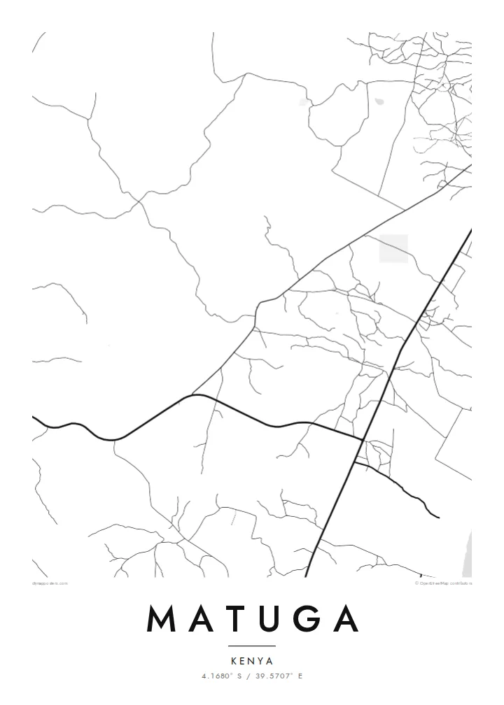
The map is defined by roads linking villages to one another and to routes running toward the coast, a branching pattern that shows how people and goods move across the county.
Postè kat minimalis · Kenya
4.1680° S / 39.5707° E
Scattered villages and unpaved roads spread across the gentle coastal hinterland south-west of Mombasa, near the Shimba Hills.



Yon vil, senk atmosfè
Peze yon style pou wè li sou mi a. Chak style koute menm pri — enprime, ankadre oswa kòm fichye HD.
 Piksèl reyèl · fichye enpresyon 24 × 36″
Byen klè pou enprime
Sa a se yon zoom 100% sou vrè fichye enpresyon an. Chak afich — enprime, ankadre oswa telechaje — jenere sou sèvè nou yo nan 300 DPI, jiska 7,200 × 10,800 piksèl, konsa menm pi piti wout yo rete klè sou yon enpresyon 24 × 36″.
Sou mi a


Kat la
Matuga lies in Kwale County on Kenya's south coast, in the rolling country between the Indian Ocean shoreline and the Shimba Hills. Rather than a compact town, it is a wide area of villages, farms and market centres, so from above the map shows a loose network of roads and footpaths instead of a single dense core. Settlements cluster along the main routes and thin out into cultivated land.
The population figure counts the whole area rather than one urban centre, which is typical of this part of the coast. The county town of Kwale is close by, and the slopes of Shimba Hills National Reserve rise to the south-west, where grassland and patches of coastal forest are protected from the farmland that surrounds them.
A Matuga map poster captures a landscape that is more about connection than density: roads threading between homesteads, streams cutting shallow valleys toward the coast, and the occasional crossroads where a market gathers. In black and white the pattern becomes delicate and open, closer to a drawing than a city plan.
The map is defined by roads linking villages to one another and to routes running toward the coast, a branching pattern that shows how people and goods move across the county.
To the south-west the land rises toward the Shimba Hills, a protected upland of forest and grassland. On the poster, the reserve appears as a quiet, road-free area beside the settled farmland.
Small watercourses drain the hinterland toward the Indian Ocean, carving shallow valleys between farms. Traced in fine lines, they add a gentle rhythm to an otherwise open, rural composition.
Fè l pou ou
Ajoute yon dat, yon non oswa pwòp fraz pa w, chanje estil, gwosè oswa oryantasyon.
Apèsi gratis la se nan rezolisyon ba avèk yon watèrmak. Enpresyon ak fichye HD yo jenere nan 300 DPI, jiska 7,200 × 10,800 px, san watèrmak.
Poukisa Matuga
For people from Kwale County, or anyone with family roots in the south coast villages, a map of Matuga is a way to keep the home area in view. Its open, rural layout makes a calm, uncluttered print that works well in a bedroom or office.
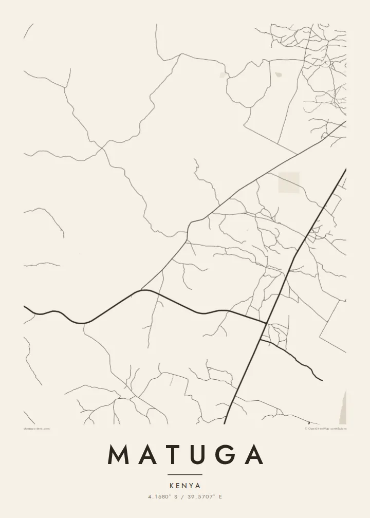
Add a title, subtitle or a coordinates line that points to a specific village or a family home, and select from five styles: Classic black & white, Noir, Paper, Blueprint or Sand. Sand gives the landscape a warm tone, while Noir turns the roads into fine light lines.
Kòmande afich Matuga a| Gwosè enpresyon | Rezolisyon | Fichye |
|---|---|---|
| 30 × 40 cm (11.8 × 15.7″) | 3,543 × 4,724 px | PNG · PDF |
| 29.7 × 42 cm (A3, 11.7 × 16.5″) | 3,508 × 4,961 px | PNG · PDF |
| 42 × 59.4 cm (A2, 16.5 × 23.4″) | 4,961 × 7,016 px | PNG · PDF |
| 45.7 × 61 cm (18 × 24″) | 5,400 × 7,200 px | PNG · PDF |
| 50 × 70 cm (19.7 × 27.6″) | 5,906 × 8,268 px | PNG · PDF |
| 61 × 91.4 cm (24 × 36″) | 7,200 × 10,800 px | PNG · PDF |
Pou konpare, apèsi gratis la gen 900 px lajè, li gen filigràn epi li fèt pou ekran. Fichye HD yo gen jiska 8 fwa plis rezolisyon nan chak direksyon epi yo enprime pwòp nan gwosè postè konplè.
Chwazi yon style anlè paj la, epi chwazi Afich Enprime — yon gwosè epi, si w vle, yon kad — oswa Fichye Dijital HD. Peman an fèt nan yon sèl etap, epi paj kòmand ou a mete ajou kou peman an konfime.
Li enprime sou papye mat premium 200 gsm nan youn nan sis gwosè, soti nan 30 × 40 cm rive nan 24 × 36″. Afich enprime yo kòmanse nan {printFrom}, livrezon enkli.
Wi. Chwazi yon kad an bwa solid nan koulè nwa, blan, chenn natirèl oswa bwa fonse. Li vin ak yon vit ki pa kase epi li pare pou pandye. Afich ankadre yo kòmanse nan {framedFrom}, livrezon enkli.
Livrezon gratis toupatou nan mond lan. Chak afich enprime nan patnè enpresyon ki pi pre nan plis pase 30 peyi, e li rive jeneralman nan 3–7 jou ouvrab. Ou ka swiv estati ak suivi anba My Orders.
Voye nou yon foto nan 14 jou apre livrezon an epi nou ap reenprime li gratis oswa remèt ou lajan w.
Wi. Nan editè a sou paj sa a, chanje tit la, soutit la ak liy kowòdone yo pou nenpòt sa w vle, epi chwazi yon style ak yon gwosè. Kòmand enprime, ankadre ak dijital yo tout itilize egzakteman desen w lan.
Pou $9 ou jwenn fichye PNG 300 DPI ak PDF pare-pou-enprime nan tout sis gwosè yo, san watèrmak, pou enprime kote w vle. Pa sèten toujou? Telechaje yon apèsi gratis ak watèrmak anvan.
