Fishpond patchwork
Rectangular ponds fill much of the low ground near the coast. On the poster they form a tiled pattern that sets Binmaley apart from inland towns.
Poster peta minimalis · Filipina
16.0323° N / 120.2690° E
A coastal town on Lingayen Gulf where the shoreline, river mouths and a mosaic of fishponds shape the map.


Satu kota, lima nuansa
Ketuk salah satu gaya untuk melihatnya di dinding. Semua gaya harganya sama — baik cetak, berbingkai, maupun file HD.
 Piksel asli · file cetak 24 × 36″
Tajam saat dicetak
Ini adalah crop 100% dari file cetak asli. Setiap poster — dicetak, berbingkai, atau diunduh — dirender di server kami dengan 300 DPI, hingga 7,200 × 10,800 piksel, sehingga jalan sekecil apa pun tetap tajam pada cetakan 24 × 36″.
Di dinding


Peta
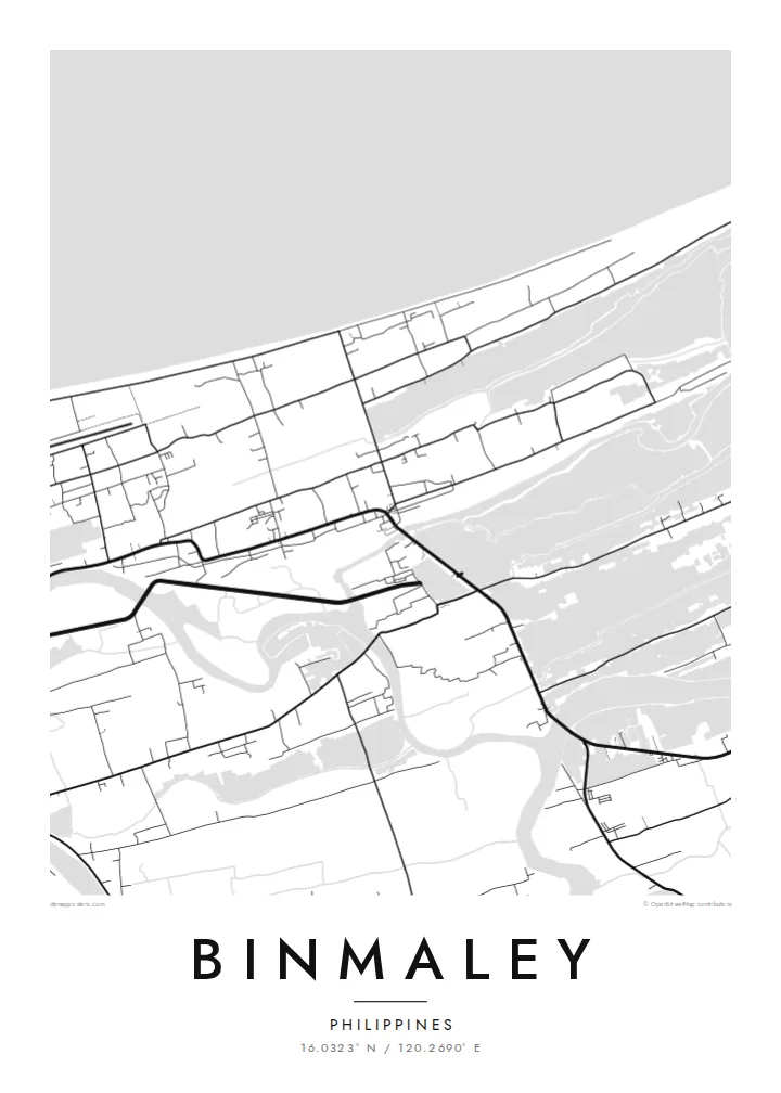
Binmaley lies on the southern shore of Lingayen Gulf in Pangasinan, between the larger centres of Lingayen and Dagupan. From above, its edge is the sea. The coast runs as a clean line, while inland the ground breaks into rectangles of water. These are fishponds, and they give the town one of the most geometric outlines in the province.
The ponds are tied to aquaculture, especially milkfish, which has long shaped the local economy along this stretch of coast. Rivers and creeks wind through them toward the gulf, and roads stay on the narrow strips of solid land in between. The town centre is a small, tighter cluster of streets, set back from the water and linked to its neighbours by the coastal highway.
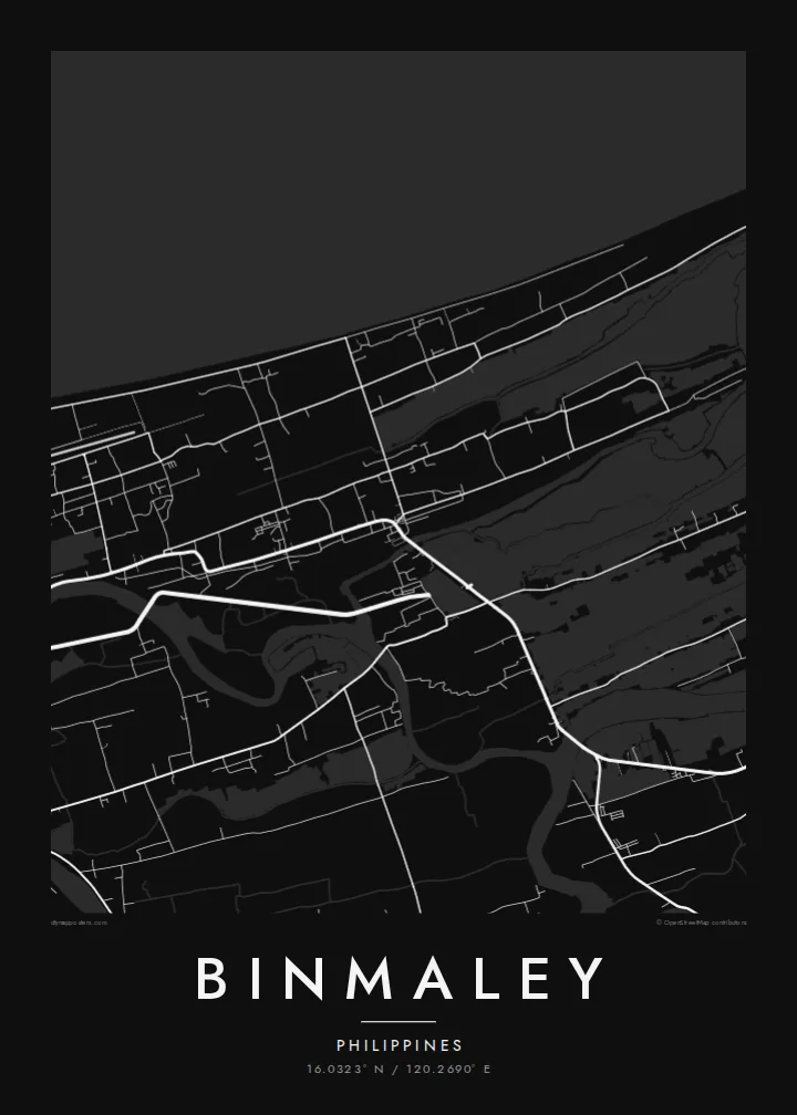
A Binmaley map poster keeps that unusual pattern: open sea on one side and a patchwork of enclosed water on the other, with the town stitched between them. Rendered in monochrome, the ponds turn into a quiet grid of their own. It looks almost planned, though it grew pond by pond over many years of work at the water's edge.
Rectangular ponds fill much of the low ground near the coast. On the poster they form a tiled pattern that sets Binmaley apart from inland towns.
A long, gently curving coastline frames the northern side of the map. It gives the composition a strong horizon and plenty of open space.
Creeks and river channels thread between the ponds toward the gulf. Their soft curves contrast neatly with the straight edges of the ponds around them.
Jadikan milik Anda
Tambahkan tanggal, nama, atau kalimat Anda sendiri, lalu ganti gaya, ukuran, atau orientasi.
Pratinjau gratis beresolusi rendah dan berwatermark. Cetakan dan file HD dirender dengan 300 DPI, hingga 7,200 × 10,800 px, tanpa watermark.
Mengapa Binmaley
A map of Binmaley suits someone who grew up by the gulf or who has family working the ponds, and it makes a warm gift for relatives abroad. You can add a family name, a hometown line or a meaningful date to make it personal.
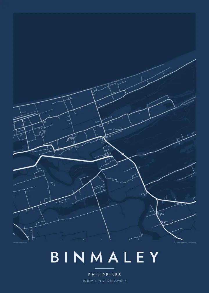
The design comes in five styles: Classic black & white, Noir, Paper, Blueprint and Sand. Blueprint makes the grid of ponds especially crisp. The HD download costs $9 and includes six print sizes, or you can order a matte print, framed if you like.
Pesan poster Binmaley| Ukuran cetak | Resolusi | File |
|---|---|---|
| 30 × 40 cm (11.8 × 15.7″) | 3,543 × 4,724 px | PNG · PDF |
| 29.7 × 42 cm (A3, 11.7 × 16.5″) | 3,508 × 4,961 px | PNG · PDF |
| 42 × 59.4 cm (A2, 16.5 × 23.4″) | 4,961 × 7,016 px | PNG · PDF |
| 45.7 × 61 cm (18 × 24″) | 5,400 × 7,200 px | PNG · PDF |
| 50 × 70 cm (19.7 × 27.6″) | 5,906 × 8,268 px | PNG · PDF |
| 61 × 91.4 cm (24 × 36″) | 7,200 × 10,800 px | PNG · PDF |
Sebagai perbandingan, pratinjau gratis lebarnya 900 px, bertanda watermark, dan ditujukan untuk layar. File HD memiliki resolusi hingga 8× lebih besar di setiap sisi dan tercetak jernih dalam ukuran poster penuh.
Pilih gaya di bagian atas halaman, lalu pilih Poster Cetak — beserta ukuran dan, jika suka, bingkai — atau File Digital HD. Checkout hanya satu langkah, dan halaman pesanan Anda langsung diperbarui begitu pembayaran berhasil.
Dicetak di atas kertas doff premium 200 gsm dalam salah satu dari enam ukuran, mulai dari 30 × 40 cm hingga 24 × 36″. Poster cetak mulai dari {printFrom}, sudah termasuk ongkos kirim.
Tentu. Pilih bingkai kayu solid berwarna hitam, putih, oak natural, atau kayu gelap. Dilengkapi kaca anti pecah dan siap digantung. Poster berbingkai mulai dari {framedFrom}, sudah termasuk ongkos kirim.
Pengiriman gratis ke seluruh dunia. Setiap poster dicetak oleh mitra cetak kami terdekat di lebih dari 30 negara dan biasanya tiba dalam 3–7 hari kerja. Anda bisa memantau status dan nomor lacaknya di Pesanan Saya.
Kirimkan foto kepada kami dalam 14 hari sejak pengiriman diterima, dan kami akan mencetak ulang secara gratis atau mengembalikan uang Anda.
Tentu. Di editor pada halaman ini, ubah judul, subjudul, dan baris koordinat sesuai keinginan Anda, lalu pilih gaya dan ukuran. Pesanan cetak, berbingkai, maupun digital semuanya menggunakan desain Anda persis.
Dengan $9 Anda mendapatkan file PNG 300 DPI dan PDF siap cetak dalam keenam ukuran, tanpa watermark, untuk dicetak di mana saja. Belum yakin? Unduh dulu pratinjau gratis berwatermark.
