The curled tip
Provincetown sits inside the final hook of sand, its streets following the harbour in a long, thin strip with dunes behind them.
Poster peta minimalis · Amerika Serikat
41.7987° N / 70.3085° W
A peninsula bent like a flexed arm, curling north to a sandy hook at Provincetown and cut from the mainland by a canal


Satu kota, lima nuansa
Ketuk salah satu gaya untuk melihatnya di dinding. Semua gaya harganya sama — baik cetak, berbingkai, maupun file HD.
 Piksel asli · file cetak 24 × 36″
Tajam saat dicetak
Ini adalah crop 100% dari file cetak asli. Setiap poster — dicetak, berbingkai, atau diunduh — dirender di server kami dengan 300 DPI, hingga 7,200 × 10,800 piksel, sehingga jalan sekecil apa pun tetap tajam pada cetakan 24 × 36″.
Di dinding
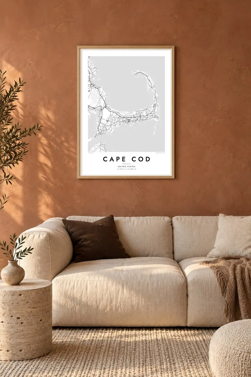
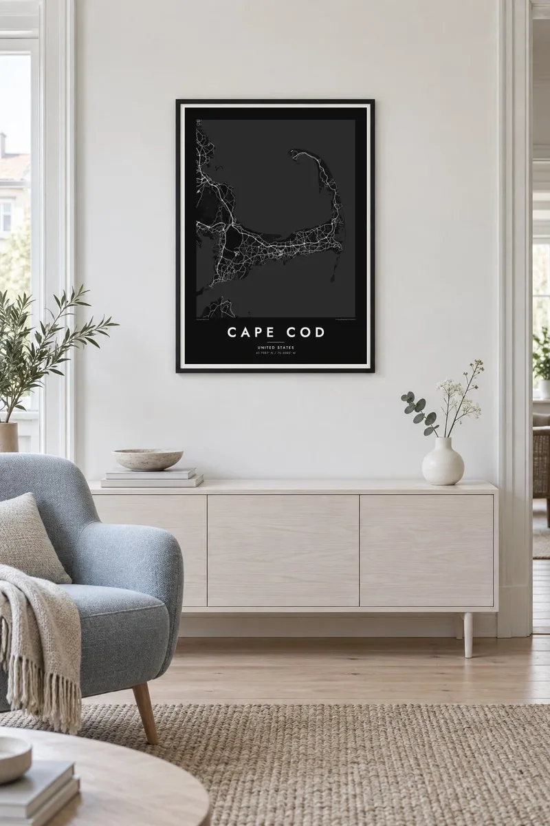
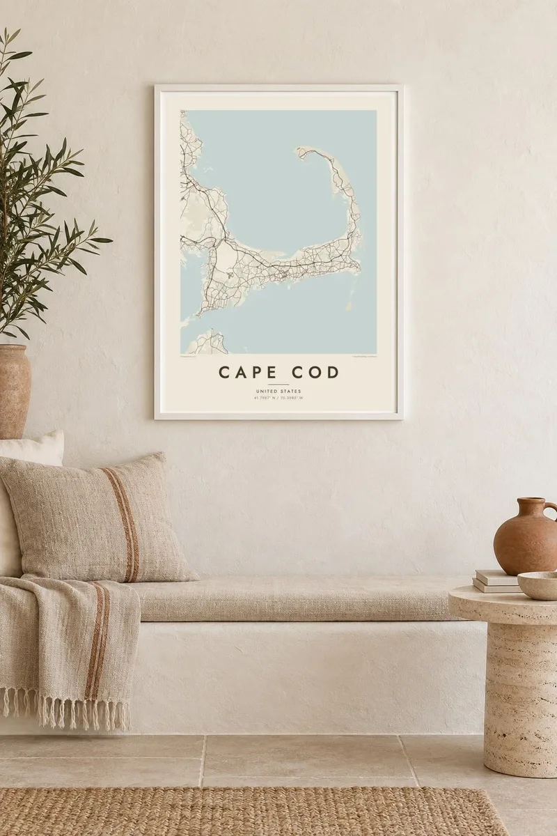
Peta
Cape Cod reaches into the Atlantic from southeastern Massachusetts, and its outline is one of the most recognisable on the American coast. The land runs east from the mainland, turns north at the elbow near Chatham and ends in a curled fist of dunes around Provincetown. The inner curve encloses Cape Cod Bay, while the outer shore faces the open ocean.
The Pilgrims first anchored in Provincetown Harbor in 1620 and signed the Mayflower Compact there before sailing on to Plymouth. The Cape Cod Canal opened across the base of the peninsula in 1914, and today two high bridges, the Bourne and the Sagamore, carry traffic over it. Much of the outer shore is protected as the Cape Cod National Seashore.
A Cape Cod map poster shows land dotted with ponds, many of them kettle ponds left behind by retreating glaciers, along with harbours, salt marshes and long barrier beaches. Route 6 runs the length of the Cape as its main spine, and the village centres on both shores appear as small street networks among winding lanes and inlets.
Provincetown sits inside the final hook of sand, its streets following the harbour in a long, thin strip with dunes behind them.
A straight channel cuts across the base of the peninsula, crossed by the Bourne and Sagamore bridges, visibly separating the Cape from the mainland.
Hundreds of small, rounded ponds are scattered across the interior, giving the land a speckled texture unlike any other stretch of the New England coast.
Jadikan milik Anda
Tambahkan tanggal, nama, atau kalimat Anda sendiri, lalu ganti gaya, ukuran, atau orientasi.
Pratinjau gratis beresolusi rendah dan berwatermark. Cetakan dan file HD dirender dengan 300 DPI, hingga 7,200 × 10,800 px, tanpa watermark.
Mengapa Cape Cod
For families with a summer cottage, a favourite beach or a long history of trips over the Sagamore Bridge, the whole Cape in one frame makes a natural keepsake. Personalise the title with a town or family name, and use the subtitle for a year or a date.
Pick from Classic black & white, Noir, Paper, Blueprint and Sand. A free 900 px watermarked preview shows the composition before you buy, and printed posters on matte paper can be ordered with a wooden frame from partners in more than 30 countries.
Pesan poster Cape Cod| Ukuran cetak | Resolusi | File |
|---|---|---|
| 30 × 40 cm (11.8 × 15.7″) | 3,543 × 4,724 px | PNG · PDF |
| 29.7 × 42 cm (A3, 11.7 × 16.5″) | 3,508 × 4,961 px | PNG · PDF |
| 42 × 59.4 cm (A2, 16.5 × 23.4″) | 4,961 × 7,016 px | PNG · PDF |
| 45.7 × 61 cm (18 × 24″) | 5,400 × 7,200 px | PNG · PDF |
| 50 × 70 cm (19.7 × 27.6″) | 5,906 × 8,268 px | PNG · PDF |
| 61 × 91.4 cm (24 × 36″) | 7,200 × 10,800 px | PNG · PDF |
Sebagai perbandingan, pratinjau gratis lebarnya 900 px, bertanda watermark, dan ditujukan untuk layar. File HD memiliki resolusi hingga 8× lebih besar di setiap sisi dan tercetak jernih dalam ukuran poster penuh.
Pilih gaya di bagian atas halaman, lalu pilih Poster Cetak — beserta ukuran dan, jika suka, bingkai — atau File Digital HD. Checkout hanya satu langkah, dan halaman pesanan Anda langsung diperbarui begitu pembayaran berhasil.
Dicetak di atas kertas doff premium 200 gsm dalam salah satu dari enam ukuran, mulai dari 30 × 40 cm hingga 24 × 36″. Poster cetak mulai dari {printFrom}, sudah termasuk ongkos kirim.
Tentu. Pilih bingkai kayu solid berwarna hitam, putih, oak natural, atau kayu gelap. Dilengkapi kaca anti pecah dan siap digantung. Poster berbingkai mulai dari {framedFrom}, sudah termasuk ongkos kirim.
Pengiriman gratis ke seluruh dunia. Setiap poster dicetak oleh mitra cetak kami terdekat di lebih dari 30 negara dan biasanya tiba dalam 3–7 hari kerja. Anda bisa memantau status dan nomor lacaknya di Pesanan Saya.
Kirimkan foto kepada kami dalam 14 hari sejak pengiriman diterima, dan kami akan mencetak ulang secara gratis atau mengembalikan uang Anda.
Tentu. Di editor pada halaman ini, ubah judul, subjudul, dan baris koordinat sesuai keinginan Anda, lalu pilih gaya dan ukuran. Pesanan cetak, berbingkai, maupun digital semuanya menggunakan desain Anda persis.
Dengan $9 Anda mendapatkan file PNG 300 DPI dan PDF siap cetak dalam keenam ukuran, tanpa watermark, untuk dicetak di mana saja. Belum yakin? Unduh dulu pratinjau gratis berwatermark.
Sekitar
