Shrine forests
The grounds of Naikū and Gekū appear as broad open areas surrounded by streets. They are some of the largest calm shapes on the map, and they anchor the whole composition.
Poster peta minimalis · Jepang
34.4833° N / 136.7000° E
A shrine city between forested hills and Ise Bay, laid out along two rivers and the old pilgrim roads.


Satu kota, lima nuansa
Ketuk salah satu gaya untuk melihatnya di dinding. Semua gaya harganya sama — baik cetak, berbingkai, maupun file HD.
 Piksel asli · file cetak 24 × 36″
Tajam saat dicetak
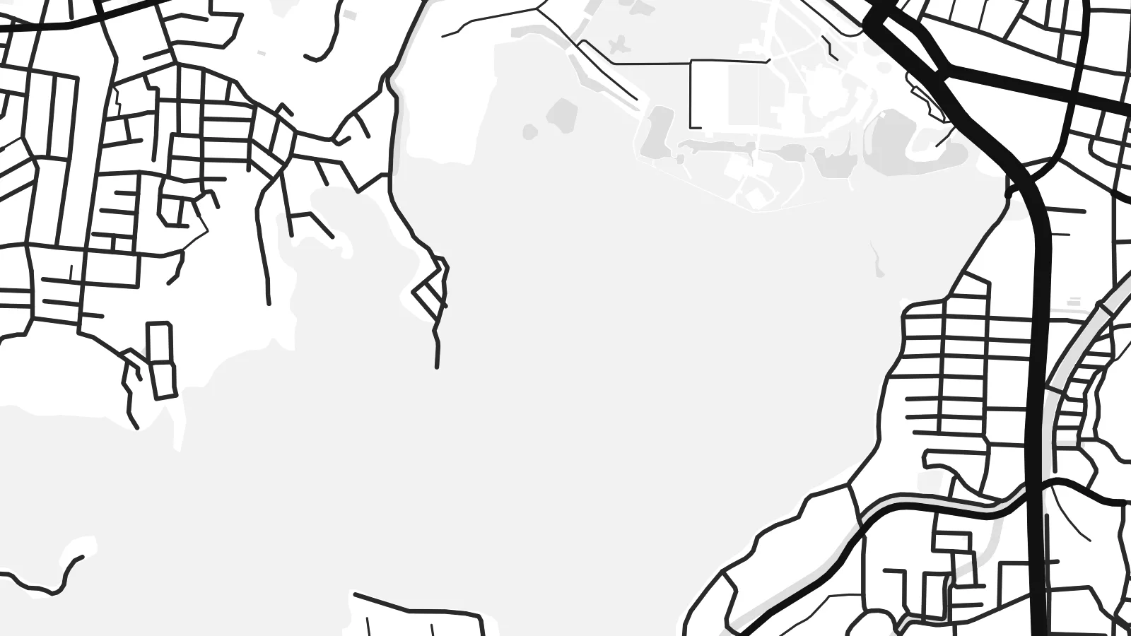
Ini adalah crop 100% dari file cetak asli. Setiap poster — dicetak, berbingkai, atau diunduh — dirender di server kami dengan 300 DPI, hingga 7,200 × 10,800 piksel, sehingga jalan sekecil apa pun tetap tajam pada cetakan 24 × 36″.
Di dinding


Peta
Ise lies in Mie Prefecture on the Kii Peninsula, between Ise Bay to the north and steep, wooded hills to the south. The Miyagawa and Isuzu rivers cross the plain, and the city's streets follow the routes that pilgrims walked for centuries between the two main precincts of the Ise Grand Shrine.
The shrine is among the most important sites in Shinto. Its inner shrine, Naikū, is dedicated to the sun goddess Amaterasu, and the outer shrine, Gekū, stands closer to the city centre. The main shrine buildings are traditionally rebuilt every twenty years. The coastal district of Futami, known for the paired Meoto Iwa rocks, is also part of the city.
An Ise map poster shows a clear contrast. Dense streets gather near the railway stations and along the old approach to Naikū, while the shrine forests appear as large unbroken areas. Rivers wind through the middle, and the bay shore forms a long northern edge.
The grounds of Naikū and Gekū appear as broad open areas surrounded by streets. They are some of the largest calm shapes on the map, and they anchor the whole composition.
Two rivers cross the city on their way to the bay. They add flowing lines through the grid, and the Isuzu passes right beside the inner shrine.
Ise Bay forms the northern boundary. It gives the poster a long shoreline, and the Futami coast lies towards its eastern end.
Jadikan milik Anda
Tambahkan tanggal, nama, atau kalimat Anda sendiri, lalu ganti gaya, ukuran, atau orientasi.
Pratinjau gratis beresolusi rendah dan berwatermark. Cetakan dan file HD dirender dengan 300 DPI, hingga 7,200 × 10,800 px, tanpa watermark.
Mengapa Ise
A visit to Ise is often a meaningful one, whether as a pilgrimage, a family trip or a first encounter with Shinto architecture. A map of the city is a quiet reminder of that visit.
Add the date of your visit to the subtitle, edit the coordinates line if you like, and pick from five styles, including the cool Blueprint and the dark Noir. The HD files cover six print sizes, from A3 up to 24×36″.
Pesan poster Ise| Ukuran cetak | Resolusi | File |
|---|---|---|
| 30 × 40 cm (11.8 × 15.7″) | 3,543 × 4,724 px | PNG · PDF |
| 29.7 × 42 cm (A3, 11.7 × 16.5″) | 3,508 × 4,961 px | PNG · PDF |
| 42 × 59.4 cm (A2, 16.5 × 23.4″) | 4,961 × 7,016 px | PNG · PDF |
| 45.7 × 61 cm (18 × 24″) | 5,400 × 7,200 px | PNG · PDF |
| 50 × 70 cm (19.7 × 27.6″) | 5,906 × 8,268 px | PNG · PDF |
| 61 × 91.4 cm (24 × 36″) | 7,200 × 10,800 px | PNG · PDF |
Sebagai perbandingan, pratinjau gratis lebarnya 900 px, bertanda watermark, dan ditujukan untuk layar. File HD memiliki resolusi hingga 8× lebih besar di setiap sisi dan tercetak jernih dalam ukuran poster penuh.
Pilih gaya di bagian atas halaman, lalu pilih Poster Cetak — beserta ukuran dan, jika suka, bingkai — atau File Digital HD. Checkout hanya satu langkah, dan halaman pesanan Anda langsung diperbarui begitu pembayaran berhasil.
Dicetak di atas kertas doff premium 200 gsm dalam salah satu dari enam ukuran, mulai dari 30 × 40 cm hingga 24 × 36″. Poster cetak mulai dari {printFrom}, sudah termasuk ongkos kirim.
Tentu. Pilih bingkai kayu solid berwarna hitam, putih, oak natural, atau kayu gelap. Dilengkapi kaca anti pecah dan siap digantung. Poster berbingkai mulai dari {framedFrom}, sudah termasuk ongkos kirim.
Pengiriman gratis ke seluruh dunia. Setiap poster dicetak oleh mitra cetak terdekat kami di 30+ negara dan biasanya tiba dalam 3–7 hari kerja. Status dan pelacakan pesanan bisa dipantau di Pesanan Saya. Beberapa negara memerlukan waktu 2–5 minggu, dan jika kami belum melayani pengiriman ke negara Anda, situs akan memberi tahu sebelum Anda membayar.
Kirimkan foto kepada kami dalam 14 hari sejak pengiriman diterima, dan kami akan mencetak ulang secara gratis atau mengembalikan uang Anda.
Tentu. Di editor pada halaman ini, ubah judul, subjudul, dan baris koordinat sesuai keinginan Anda, lalu pilih gaya dan ukuran. Pesanan cetak, berbingkai, maupun digital semuanya menggunakan desain Anda persis.
Dengan $9 Anda mendapatkan file PNG 300 DPI dan PDF siap cetak dalam keenam ukuran, tanpa watermark, untuk dicetak di mana saja. Belum yakin? Unduh dulu pratinjau gratis berwatermark.
