Parma torrent
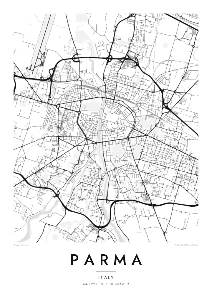
The watercourse divides the city from south to north, crossed by a handful of bridges that link the historic centre with the Oltretorrente neighbourhood on the western bank.
Poster peta minimalis · Italia
44.7993° N / 10.3262° E
An Emilian city divided by a torrent, crossed by the Via Emilia and ringed by boulevards that trace its old walls.


Satu kota, lima nuansa
Ketuk salah satu gaya untuk melihatnya di dinding. Semua gaya harganya sama — baik cetak, berbingkai, maupun file HD.
 Piksel asli · file cetak 24 × 36″
Tajam saat dicetak
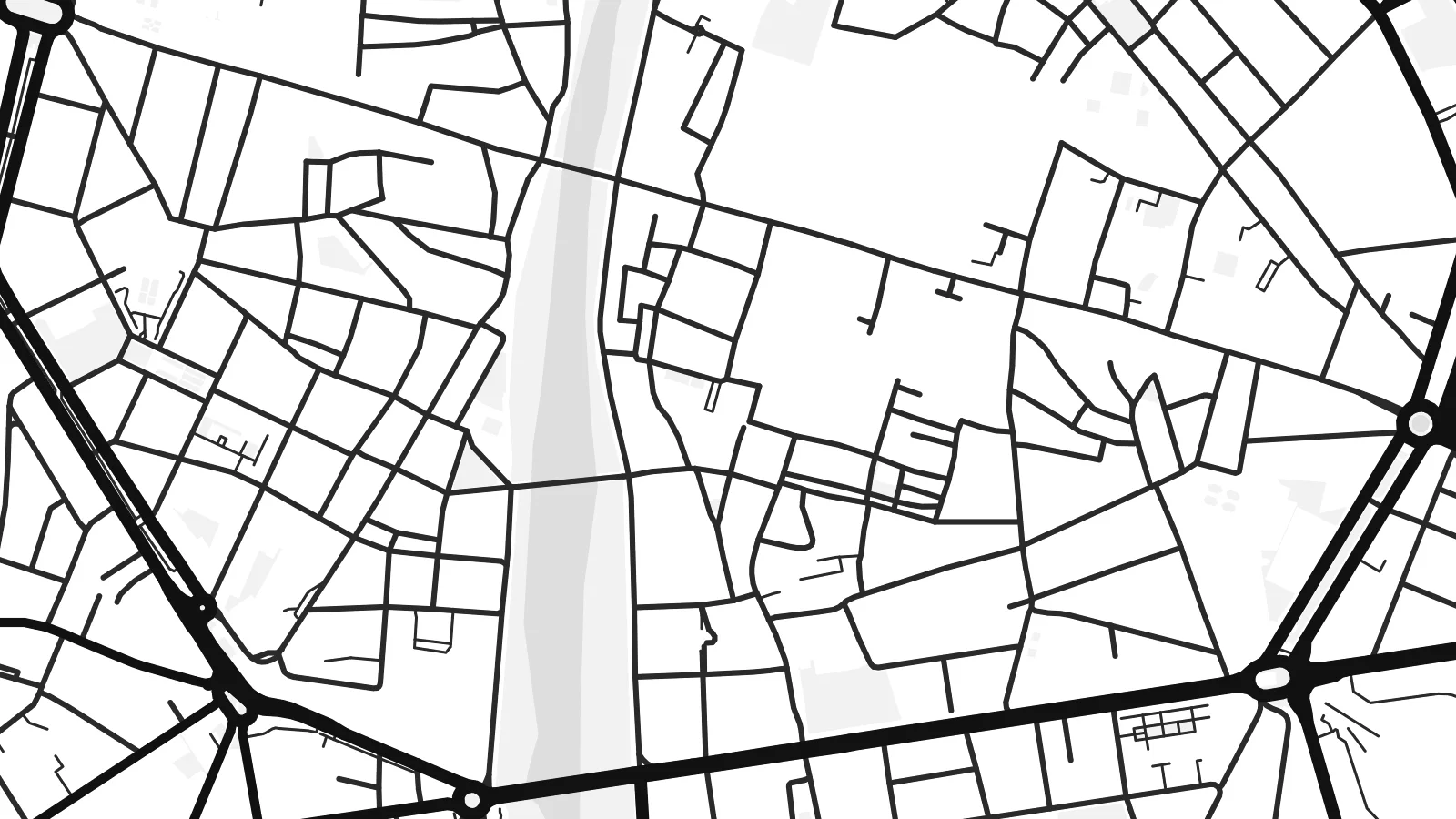
Ini adalah crop 100% dari file cetak asli. Setiap poster — dicetak, berbingkai, atau diunduh — dirender di server kami dengan 300 DPI, hingga 7,200 × 10,800 piksel, sehingga jalan sekecil apa pun tetap tajam pada cetakan 24 × 36″.
Di dinding


Peta
Parma lies on the plain of Emilia-Romagna, split into two unequal halves by the Parma torrent, which runs from south to north through the city. The larger historic centre lies to the east, while the Oltretorrente district and the Parco Ducale sit on the western bank. The ancient Via Emilia crosses the torrent and the centre in a straight line, as it has since Roman times.
Around the historic core, wide avenues follow the line of the demolished city walls, forming a ring that still shapes traffic and the outline of the old town. Inside it, the cathedral and its octagonal baptistery, the Pilotta palace complex and the Teatro Regio sit among close streets. Outside it, newer districts spread across flat farmland.
Parma is known worldwide for Parmigiano Reggiano and Prosciutto di Parma, and for its musical tradition, with Verdi born in the province nearby. A Parma map poster shows how neatly the city is organised: a watercourse through the middle, a Roman road across it and a ring of boulevards holding everything together.
The watercourse divides the city from south to north, crossed by a handful of bridges that link the historic centre with the Oltretorrente neighbourhood on the western bank.
The Roman road enters from the east and leaves to the west as a single straight line, the oldest axis on the map.
The formal ducal garden forms a large green rectangle on the western bank, with straight avenues and a clear geometric layout.
Jadikan milik Anda
Tambahkan tanggal, nama, atau kalimat Anda sendiri, lalu ganti gaya, ukuran, atau orientasi.
Pratinjau gratis beresolusi rendah dan berwatermark. Cetakan dan file HD dirender dengan 300 DPI, hingga 7,200 × 10,800 px, tanpa watermark.
Mengapa Parma
Parma speaks to people who studied there, who have family in Emilia, or who simply love its food and music. The map is orderly and elegant, well suited to kitchens, studies and quiet hallways alike.
Personalise the title and subtitle, perhaps with a wedding date or a family name, and adjust the coordinates line. Five styles are available: Classic black & white, Noir, Paper, Blueprint and Sand, with digital files at $9 in six print sizes.
Pesan poster Parma| Ukuran cetak | Resolusi | File |
|---|---|---|
| 30 × 40 cm (11.8 × 15.7″) | 3,543 × 4,724 px | PNG · PDF |
| 29.7 × 42 cm (A3, 11.7 × 16.5″) | 3,508 × 4,961 px | PNG · PDF |
| 42 × 59.4 cm (A2, 16.5 × 23.4″) | 4,961 × 7,016 px | PNG · PDF |
| 45.7 × 61 cm (18 × 24″) | 5,400 × 7,200 px | PNG · PDF |
| 50 × 70 cm (19.7 × 27.6″) | 5,906 × 8,268 px | PNG · PDF |
| 61 × 91.4 cm (24 × 36″) | 7,200 × 10,800 px | PNG · PDF |
Sebagai perbandingan, pratinjau gratis lebarnya 900 px, bertanda watermark, dan ditujukan untuk layar. File HD memiliki resolusi hingga 8× lebih besar di setiap sisi dan tercetak jernih dalam ukuran poster penuh.
Pilih gaya di bagian atas halaman, lalu pilih Poster Cetak — beserta ukuran dan, jika suka, bingkai — atau File Digital HD. Checkout hanya satu langkah, dan halaman pesanan Anda langsung diperbarui begitu pembayaran berhasil.
Dicetak di atas kertas doff premium 200 gsm dalam salah satu dari enam ukuran, mulai dari 30 × 40 cm hingga 24 × 36″. Poster cetak mulai dari {printFrom}, sudah termasuk ongkos kirim.
Tentu. Pilih bingkai kayu solid berwarna hitam, putih, oak natural, atau kayu gelap. Dilengkapi kaca anti pecah dan siap digantung. Poster berbingkai mulai dari {framedFrom}, sudah termasuk ongkos kirim.
Pengiriman gratis ke seluruh dunia. Setiap poster dicetak oleh mitra cetak kami terdekat di lebih dari 30 negara dan biasanya tiba dalam 3–7 hari kerja. Anda bisa memantau status dan nomor lacaknya di Pesanan Saya.
Kirimkan foto kepada kami dalam 14 hari sejak pengiriman diterima, dan kami akan mencetak ulang secara gratis atau mengembalikan uang Anda.
Tentu. Di editor pada halaman ini, ubah judul, subjudul, dan baris koordinat sesuai keinginan Anda, lalu pilih gaya dan ukuran. Pesanan cetak, berbingkai, maupun digital semuanya menggunakan desain Anda persis.
Dengan $9 Anda mendapatkan file PNG 300 DPI dan PDF siap cetak dalam keenam ukuran, tanpa watermark, untuk dicetak di mana saja. Belum yakin? Unduh dulu pratinjau gratis berwatermark.
