Church and plaza
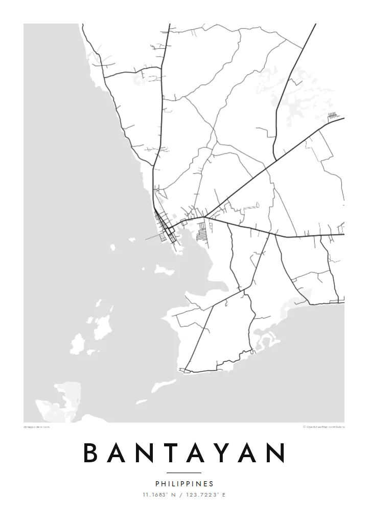
The old parish church and its square sit at the heart of the town, and the streets around them form the most regular, clearly ordered part of the map.
Minimalískt kortaplakat · Filippseyjar
11.1683° N / 123.7223° E
An island town in the Visayan Sea off northern Cebu, its old centre gathered around a church plaza near the shore.


Ein borg, fimm stemningar
Ýttu á stíl til að sjá hann á veggnum. Allir stílar kosta það sama — prentaðir, innrammaðir eða sem HD skrár.
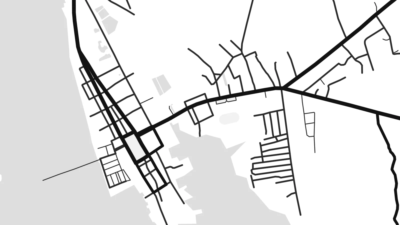 Raunstærð í pixlum · 24 × 36″ prentskrá
Skarpt í prentun
Þetta er 100% útklipping úr raunverulegu prentskránni. Hvert plakat — prentað, innrammað eða niðurhalað — er unnið á netþjónum okkar í 300 DPI, allt að 7,200 × 10,800 pixlum, svo jafnvel minnstu göturnar haldast skarpar á 24 × 36″ prenti.
Á veggnum


Kortið
Bantayan is the main town of Bantayan Island, which lies off the northern tip of Cebu in the Visayan Sea. The island is low and fairly flat, and on a map its outline is simple: a rounded landmass fringed by shallow water, with the town on its western shore. Streets run down to the waterfront and a pier reaches out into the sea.
The town grew up around one of the older Spanish-era churches in the country, the parish of Saints Peter and Paul, and its plaza still anchors the grid of the centre. Bantayan is also known across the Philippines for its Holy Week observances, when processions draw visitors from Cebu and beyond, and for poultry farms that supply eggs to much of the region.
A Bantayan map poster shows a place defined by the sea on almost every side: a compact grid by the shore, roads fanning inland across the island, and the plain white of surrounding water. It suits islanders, returning visitors and anyone who remembers the slower pace of life on the islands off northern Cebu.
The old parish church and its square sit at the heart of the town, and the streets around them form the most regular, clearly ordered part of the map.
The low, rounded shape of Bantayan Island is surrounded by shallow water, so its coastline reads as a clean, unbroken boundary on the poster.
A pier extends from the town's waterfront, used by fishing and passenger boats; on the map it appears as a short, precise line into open water.
Gerðu það að þínu
Bættu við dagsetningu, nafni eða eigin texta, skiptu um stíl, stærð eða stefnu.
Ókeypis forskoðunin er í lágri upplausn með vatnsmerki. Prentanir og HD skrár eru unnar í 300 DPI, allt að 7,200 × 10,800 px, án vatnsmerkis.
Af hverju Bantayan
People hang a map of Bantayan to remember a family home, a Holy Week spent on the island, or a quiet stretch of coast. The poster gives the island its outline and the town its grid, a simple image that still carries a strong sense of place.
The title, subtitle and coordinates line are all yours to edit, so you can add a date or a short dedication. Blueprint gives the sea a cool tone and Paper a gentler one, with three more styles to choose from before you download or order a print.
Panta Bantayan plakatið| Prentstærð | Upplausn | Skrár |
|---|---|---|
| 30 × 40 cm (11.8 × 15.7″) | 3,543 × 4,724 px | PNG · PDF |
| 29.7 × 42 cm (A3, 11.7 × 16.5″) | 3,508 × 4,961 px | PNG · PDF |
| 42 × 59.4 cm (A2, 16.5 × 23.4″) | 4,961 × 7,016 px | PNG · PDF |
| 45.7 × 61 cm (18 × 24″) | 5,400 × 7,200 px | PNG · PDF |
| 50 × 70 cm (19.7 × 27.6″) | 5,906 × 8,268 px | PNG · PDF |
| 61 × 91.4 cm (24 × 36″) | 7,200 × 10,800 px | PNG · PDF |
Til samanburðar er ókeypis forskoðunin 900 px á breidd, með vatnsmerki og ætluð fyrir skjái. HD-skrárnar eru með allt að 8× meiri upplausn í hvora átt og prentast hreint í fullri plakatstærð.
Veldu stíl efst á síðunni og veldu síðan Prentað plakat — stærð og ramma ef þú vilt — eða Stafrænar HD skrár. Greiðsluferlið tekur eitt skref og pöntunarsíðan þín uppfærist um leið og greiðslan gengur í gegn.
Það er prentað á vandaðan 200 g/m² mattan pappír í einni af sex stærðum, frá 30 × 40 cm upp í 24 × 36″. Prentuð plaköt kosta frá {printFrom}, með sendingu innifalinni.
Já. Veldu ramma úr massífum við í svörtu, hvítu, náttúrulegri eik eða dökkum viði. Hann kemur með höggheldu gleri og er tilbúinn til að hengja upp. Innrömmuð plaköt kosta frá {framedFrom}, með sendingu innifalinni.
Sending er ókeypis um allan heim. Hvert plakat er prentað hjá næsta prentsamstarfsaðila okkar í yfir 30 löndum og berst yfirleitt á 3–7 virkum dögum. Þú getur fylgst með stöðu og sendingarnúmeri undir Pantanirnar mínar.
Sendu okkur mynd innan 14 daga frá afhendingu og við prentum það aftur ókeypis eða endurgreiðum þér.
Já. Í ritlinum á þessari síðu getur þú breytt titlinum, undirtitlinum og hnitalínunni í hvað sem þú vilt, og valið stíl og stærð. Prentaðar, innrammaðar og stafrænar pantanir nota allar nákvæmlega þína hönnun.
Fyrir $9 færðu 300 DPI PNG og prentunartilbúnar PDF skrár í öllum sex stærðum, án vatnsmerkis, til að prenta hvar sem er. Ekki alveg viss? Náðu fyrst í ókeypis forskoðun með vatnsmerki.
