The two islands
Île de la Cité and Île Saint-Louis sit in the Seine at the heart of the map, with Notre-Dame at the eastern end of the larger island and bridges stitching both to either bank.
Minimalískt kortaplakat · Frakkland
48.8534° N / 2.3488° E
A city drawn in concentric rings around a curving river, its grand boulevards cutting straight lines through the older, tighter weave.
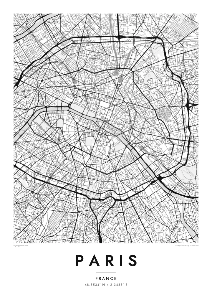
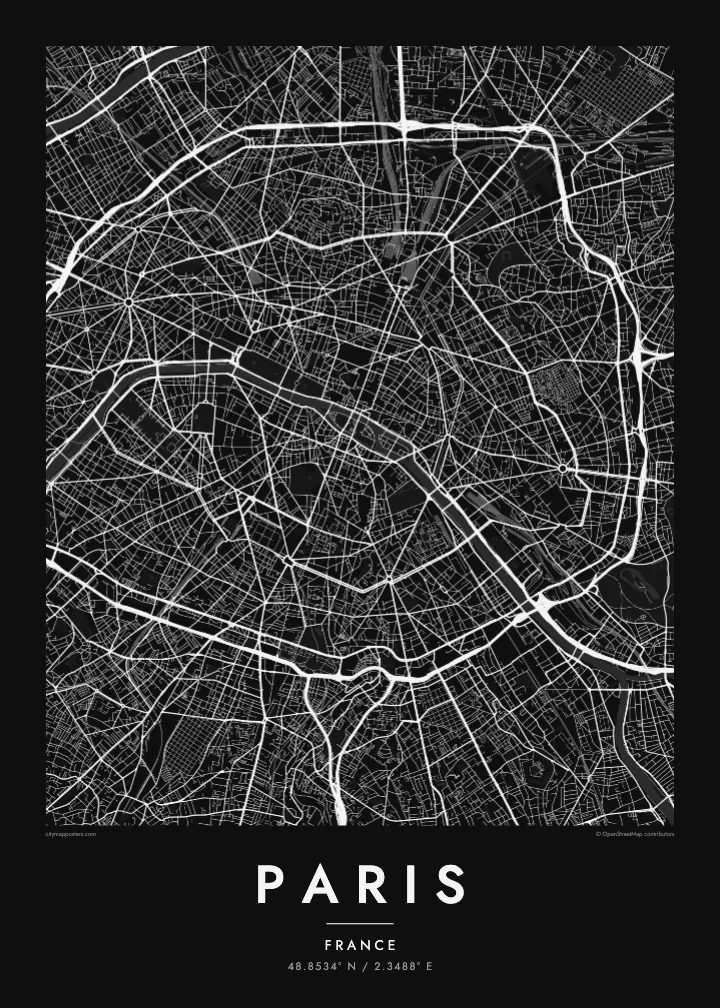
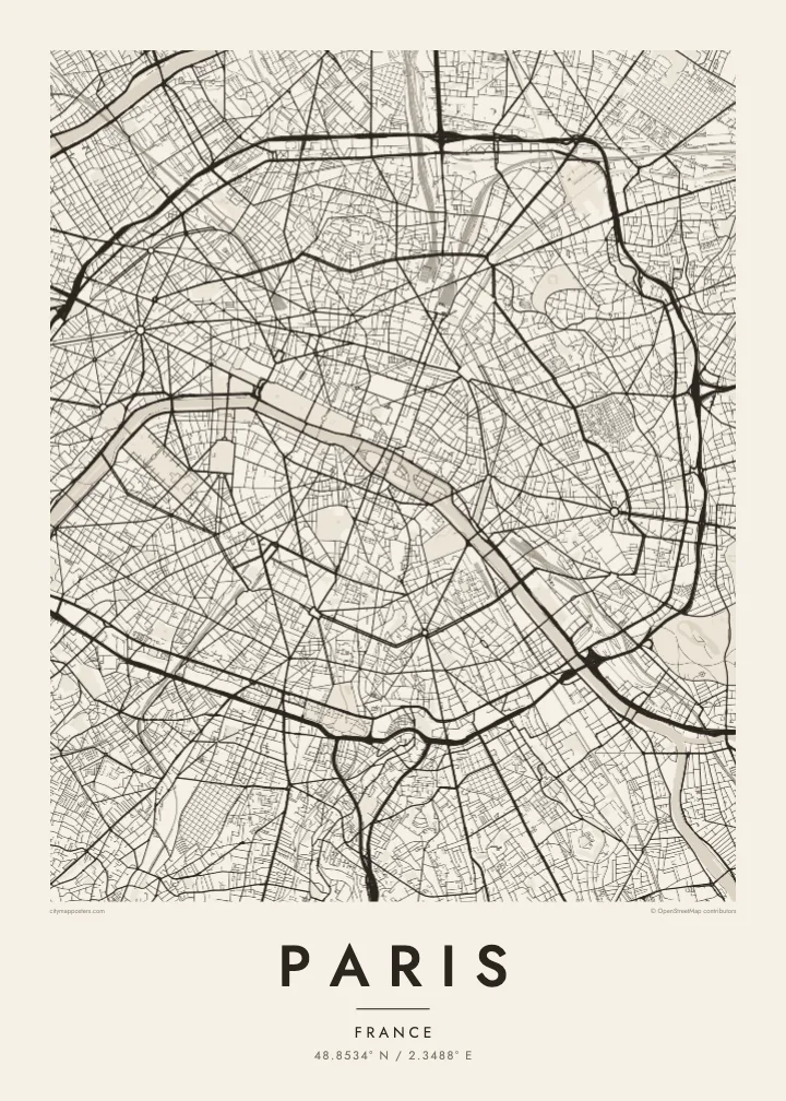

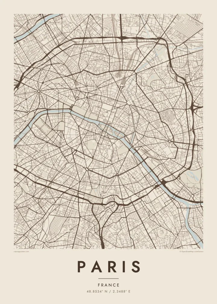
Ein borg, fimm stemningar
Ýttu á stíl til að sjá hann á veggnum. Allir stílar kosta það sama — prentaðir, innrammaðir eða sem HD skrár.
 Raunstærð í pixlum · 24 × 36″ prentskrá
Skarpt í prentun
Þetta er 100% útklipping úr raunverulegu prentskránni. Hvert plakat — prentað, innrammað eða niðurhalað — er unnið á netþjónum okkar í 300 DPI, allt að 7,200 × 10,800 pixlum, svo jafnvel minnstu göturnar haldast skarpar á 24 × 36″ prenti.
Á veggnum


Kortið
From above, Paris is organised around a river that refuses to run straight. The Seine enters from the southeast, bends in a long arc and leaves to the southwest, with the Île de la Cité and the Île Saint-Louis anchored in the middle like two moored boats. Everything else seems to orbit that pair of islands, where the city began as a small settlement on the water.
The twenty arrondissements make the orbit literal. They are numbered in a clockwise spiral from the centre, curling outward like a snail shell until the sequence meets the Boulevard Périphérique, the ring road that marks the city limit with unusual precision. Inside that loop, a Paris map poster shows two textures at once: the dense, irregular lanes of the medieval core and the long diagonal cuts laid over them.
Those cuts are the work of Baron Haussmann, who remade the city for Napoleon III in the mid nineteenth century. His boulevards meet at star-shaped squares, most famously the Place Charles de Gaulle, where twelve avenues radiate from the Arc de Triomphe. At the edges, the Bois de Boulogne to the west and the Bois de Vincennes to the east sit like two large, pale lungs.
Île de la Cité and Île Saint-Louis sit in the Seine at the heart of the map, with Notre-Dame at the eastern end of the larger island and bridges stitching both to either bank.
Twelve avenues leave the Arc de Triomphe in every direction, producing the most recognisable star on any European street map and the clearest reading of Haussmann's plan for the city.
The ring road follows the line of the city's last fortifications, giving Paris a sharp, almost oval border that frames the poster and separates the city proper from its suburbs.
Gerðu það að þínu
Bættu við dagsetningu, nafni eða eigin texta, skiptu um stíl, stærð eða stefnu.
Ókeypis forskoðunin er í lágri upplausn með vatnsmerki. Prentanir og HD skrár eru unnar í 300 DPI, allt að 7,200 × 10,800 px, án vatnsmerkis.
Af hverju Paris
Paris is often the first city people fall for, and a street map holds that feeling without leaning on postcard images. It suits the flat above a café you still miss, the arrondissement where you studied for a year, or a weekend that turned into a proposal somewhere along the quais.
Add your own title and a date that matters, whether it marks a move, an anniversary or the year you left, then choose from five styles: Classic black & white, Noir, Paper, Blueprint or Sand. Each keeps the lines crisp, so the spiral of the arrondissements reads clearly from across the room.
Panta Paris plakatið| Prentstærð | Upplausn | Skrár |
|---|---|---|
| 30 × 40 cm (11.8 × 15.7″) | 3,543 × 4,724 px | PNG · PDF |
| 29.7 × 42 cm (A3, 11.7 × 16.5″) | 3,508 × 4,961 px | PNG · PDF |
| 42 × 59.4 cm (A2, 16.5 × 23.4″) | 4,961 × 7,016 px | PNG · PDF |
| 45.7 × 61 cm (18 × 24″) | 5,400 × 7,200 px | PNG · PDF |
| 50 × 70 cm (19.7 × 27.6″) | 5,906 × 8,268 px | PNG · PDF |
| 61 × 91.4 cm (24 × 36″) | 7,200 × 10,800 px | PNG · PDF |
Til samanburðar er ókeypis forskoðunin 900 px á breidd, með vatnsmerki og ætluð fyrir skjái. HD-skrárnar eru með allt að 8× meiri upplausn í hvora átt og prentast hreint í fullri plakatstærð.
Veldu stíl efst á síðunni og veldu síðan Prentað plakat — stærð og ramma ef þú vilt — eða Stafrænar HD skrár. Greiðsluferlið tekur eitt skref og pöntunarsíðan þín uppfærist um leið og greiðslan gengur í gegn.
Það er prentað á vandaðan 200 g/m² mattan pappír í einni af sex stærðum, frá 30 × 40 cm upp í 24 × 36″. Prentuð plaköt kosta frá $39, með sendingu innifalinni.
Já. Veldu ramma úr massífum við í svörtu, hvítu, náttúrulegri eik eða dökkum viði. Hann kemur með höggheldu gleri og er tilbúinn til að hengja upp. Innrömmuð plaköt kosta frá $99, með sendingu innifalinni.
Frí sending um allan heim. Hvert plakat er prentað hjá næsta prentsamstarfsaðila okkar í yfir 30 löndum og berst yfirleitt innan 3–7 virkra daga. Þú getur fylgst með stöðu og rakningu undir Pantanirnar mínar. Sums staðar tekur sendingin 2–5 vikur og ef við sendum ekki enn þangað lætur vefurinn þig vita áður en þú greiðir.
Sendu okkur mynd innan 14 daga frá afhendingu og við prentum það aftur ókeypis eða endurgreiðum þér.
Já. Í ritlinum á þessari síðu getur þú breytt titlinum, undirtitlinum og hnitalínunni í hvað sem þú vilt, og valið stíl og stærð. Prentaðar, innrammaðar og stafrænar pantanir nota allar nákvæmlega þína hönnun.
Fyrir $9 færðu 300 DPI PNG og prentunartilbúnar PDF skrár í öllum sex stærðum, án vatnsmerkis, til að prenta hvar sem er. Ekki alveg viss? Náðu fyrst í ókeypis forskoðun með vatnsmerki.
Í nágrenninu
