Okozu diversion channel
In the Bunsui district a large channel leaves the Shinano River and heads towards the Sea of Japan. It was built in the early twentieth century to control flooding on the plain, and it cuts a bold diagonal across the map.
Minimalískt kortaplakat · Japan
37.6645° N / 138.9252° E
A flat grid of streets and paddies on the Echigo Plain, bounded by the Shinano River and cut through by a great diversion channel


Ein borg, fimm stemningar
Ýttu á stíl til að sjá hann á veggnum. Allir stílar kosta það sama — prentaðir, innrammaðir eða sem HD skrár.
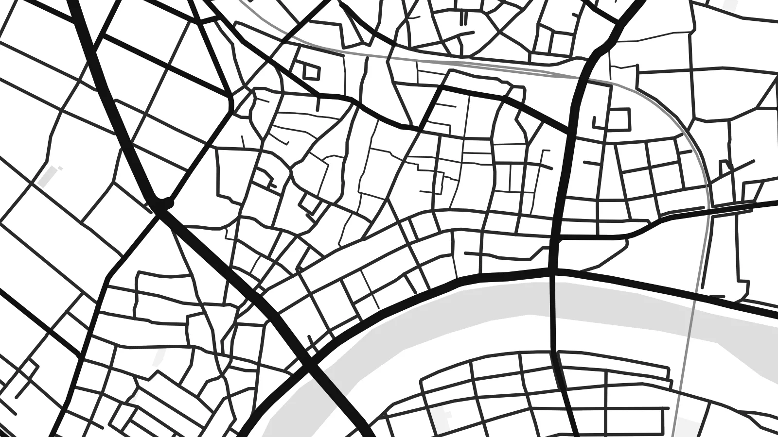 Raunstærð í pixlum · 24 × 36″ prentskrá
Skarpt í prentun
Þetta er 100% útklipping úr raunverulegu prentskránni. Hvert plakat — prentað, innrammað eða niðurhalað — er unnið á netþjónum okkar í 300 DPI, allt að 7,200 × 10,800 pixlum, svo jafnvel minnstu göturnar haldast skarpar á 24 × 36″ prenti.
Á veggnum


Kortið
Seen from above, Tsubame sits on the wide, level ground of the Echigo Plain in Niigata Prefecture. The Shinano River, Japan's longest, runs along its edge, and smaller waterways cross the plain beside it. The built-up centre has a fairly tight grain of streets. Beyond it the pattern opens into long rectangular rice fields, so the map moves from dense linework to a quieter geometry of field boundaries and farm roads.
The city in its current form dates from 2006, when Tsubame merged with the neighbouring towns of Yoshida and Bunsui. On the map this shows as more than one cluster of streets, joined by roads and railway lines across open farmland. The Joetsu Shinkansen passes nearby, with Tsubame-Sanjo Station close to the boundary with Sanjo. A Tsubame map poster shows how these separate settlements fit together on the plain.
Tsubame is best known for metalworking. Nail-making began here centuries ago and later gave way to copperware. Today the city is one of Japan's main centres for stainless-steel cutlery and tableware. Workshops and small factories sit among the houses, though the map shows none of that directly. It records the setting instead: flat ground, reliable water and routes to the rest of the country, which helped a local craft grow into an industry.
In the Bunsui district a large channel leaves the Shinano River and heads towards the Sea of Japan. It was built in the early twentieth century to control flooding on the plain, and it cuts a bold diagonal across the map.
The broad river curves along the city's edge, with embankments and wide floodplain on either side. In black and white it forms the main natural line on the poster, and the street pattern is set against it.
Around the urban areas, rice fields divide the land into long regular plots with straight farm roads between them. The result is a calm, almost woven texture that sets off the denser streets of the town centres.
Gerðu það að þínu
Bættu við dagsetningu, nafni eða eigin texta, skiptu um stíl, stærð eða stefnu.
Ókeypis forskoðunin er í lágri upplausn með vatnsmerki. Prentanir og HD skrár eru unnar í 300 DPI, allt að 7,200 × 10,800 px, án vatnsmerkis.
Af hverju Tsubame
For people from Tsubame, or anyone who owns a set of its cutlery, this map is a quiet reminder of a place that makes useful things. The river, the channel and the fields give it a clear structure, and it looks good in a kitchen, a workshop or a study.
You can personalise the title, subtitle and coordinates line to mark a hometown, a factory visit or a family date. There are five styles: Classic black and white, Noir, Paper, Blueprint or Sand. You can buy HD digital files for $9, or order a matte print with an optional wooden frame.
Panta Tsubame plakatið| Prentstærð | Upplausn | Skrár |
|---|---|---|
| 30 × 40 cm11.8 × 15.7″ | 3,543 × 4,724 px | PNG · PDF |
| 29.7 × 42 cm (A3)11.7 × 16.5″ | 3,508 × 4,961 px | PNG · PDF |
| 42 × 59.4 cm (A2)16.5 × 23.4″ | 4,961 × 7,016 px | PNG · PDF |
| 45.7 × 61 cm18 × 24″ | 5,400 × 7,200 px | PNG · PDF |
| 50 × 70 cm19.7 × 27.6″ | 5,906 × 8,268 px | PNG · PDF |
| 61 × 91.4 cm24 × 36″ | 7,200 × 10,800 px | PNG · PDF |
Til samanburðar er ókeypis forskoðunin 900 px á breidd, með vatnsmerki og ætluð fyrir skjái. HD-skrárnar eru með allt að 8× meiri upplausn í hvora átt og prentast hreint í fullri plakatstærð.
Veldu stíl efst á síðunni og veldu síðan Prentað plakat — stærð og ramma ef þú vilt — eða Stafrænar HD skrár. Greiðsluferlið tekur eitt skref og pöntunarsíðan þín uppfærist um leið og greiðslan gengur í gegn.
Það er prentað á vandaðan 200 g/m² mattan pappír í einni af sex stærðum, frá 30 × 40 cm upp í 24 × 36″. Prentuð plaköt kosta frá $39, með sendingu innifalinni.
Já. Veldu ramma úr massífum við í svörtu, hvítu, náttúrulegri eik eða dökkum viði. Hann kemur með höggheldu gleri og er tilbúinn til að hengja upp. Innrömmuð plaköt kosta frá $99, með sendingu innifalinni.
Sendingin er ókeypis til 60+ landa. Hvert veggspjald er prentað hjá næsta prentsamstarfsaðila okkar í 30+ löndum og berst venjulega á 3–7 virkum dögum. Þú getur fylgst með stöðu og rakningu undir Mínar pantanir. Í sumum löndum tekur það 2–5 vikur og ef við sendum ekki enn til þíns lands lætur vefurinn þig vita áður en þú greiðir.
Sendu okkur mynd innan 14 daga frá afhendingu og við prentum það aftur ókeypis eða endurgreiðum þér.
Já. Í ritlinum á þessari síðu getur þú breytt titlinum, undirtitlinum og hnitalínunni í hvað sem þú vilt, og valið stíl og stærð. Prentaðar, innrammaðar og stafrænar pantanir nota allar nákvæmlega þína hönnun.
Fyrir $9 færðu 300 DPI PNG og prentunartilbúnar PDF skrár í öllum sex stærðum, án vatnsmerkis, til að prenta hvar sem er. Ekki alveg viss? Náðu fyrst í ókeypis forskoðun með vatnsmerki.
