Chateau park
The large landscaped park beside the chateau forms a wide green space at the centre of town, with winding paths and ponds visible on the map.
Tabula geographica minimalis · Czechia
50.6404° N / 13.8245° E
A spa town between the Ore Mountains and the Bohemian Central Uplands, with park colonnades and a castle garden at its centre


Una urbs, quinque animi
Tange formam ut eam in pariete videas. Omnis forma eodem pretio constat — typis impressa, compagine inclusa, vel ut fasciculi HD.
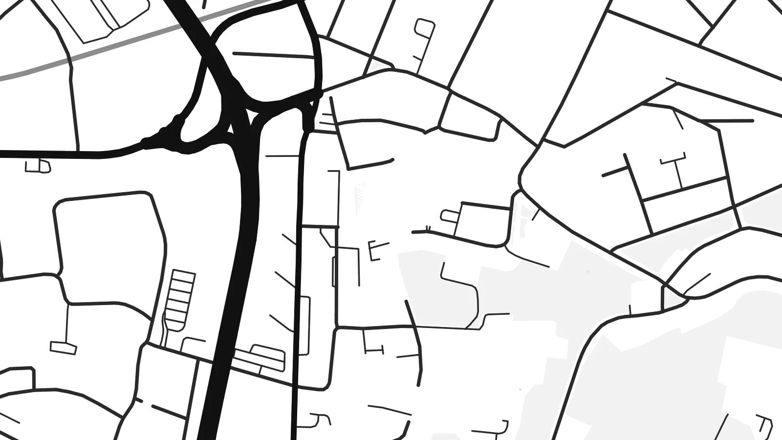 Pixelli veri · fasciculus impressionis 24 × 36″
Ad imprimendum acuta
Haec est particula 100% fasciculi impressionis veri. Omnis tabula — typis impressa, compagine inclusa, vel demissa — in servis nostris ad 300 DPI conficitur, usque ad 7,200 × 10,800 pixellos, ut etiam angustissimae viae in impressione 24 × 36″ nitidae maneant.
In pariete


Tabula
Teplice lies in northern Bohemia, in the valley between the Ore Mountains to the north and the volcanic hills of the České středohoří to the south. It is one of the oldest spa towns in Central Europe, built around warm springs that have drawn visitors for centuries.
The town centre is organised around the chateau and its large landscaped park, with the spa quarter and more parks spreading around it. The map shows these green spaces as broad, irregular shapes between the streets. Beyond the historic core, residential districts and later development fill the valley and reach toward the foot of the mountains.
In 1812, Beethoven and Goethe met in Teplice, one of the best-known encounters in European culture. A Teplice map poster shows the town's graceful spa core together with the mountain valley setting, making a composition full of both detail and space.
The large landscaped park beside the chateau forms a wide green space at the centre of town, with winding paths and ponds visible on the map.
Spa buildings, colonnades and gardens form a distinct area of parks and irregular streets, the historic heart of Teplice.
To the north the Ore Mountains rise above the valley, where streets thin out and the map opens toward the forested slopes.
Tuam fac
Adde diem, nomen vel versum tuum; muta stilum, magnitudinem vel directionem.
Specimen gratuitum resolutionis humilis est cum nota aquatica. Impressiones et fasciculi HD ad 300 DPI conficiuntur, usque ad 7,200 × 10,800 px, sine nota aquatica.
Cur Teplice
Teplice has been a place of rest and meeting for centuries, and it's still a home for many families in northern Bohemia. Its map suits both spa guests who remember their stay and those who grew up among its parks.
Add a title in Czech or English, a date or coordinates, and pick one of five styles. Printed posters are on matte paper, with an optional wooden frame, and HD files cost $9.
Eme tabulam Teplice| Magnitudo impressionis | Resolutio | Fasciculi |
|---|---|---|
| 30 × 40 cm11.8 × 15.7″ | 3,543 × 4,724 px | PNG · PDF |
| 29.7 × 42 cm (A3)11.7 × 16.5″ | 3,508 × 4,961 px | PNG · PDF |
| 42 × 59.4 cm (A2)16.5 × 23.4″ | 4,961 × 7,016 px | PNG · PDF |
| 45.7 × 61 cm18 × 24″ | 5,400 × 7,200 px | PNG · PDF |
| 50 × 70 cm19.7 × 27.6″ | 5,906 × 8,268 px | PNG · PDF |
| 61 × 91.4 cm24 × 36″ | 7,200 × 10,800 px | PNG · PDF |
Comparationis causa, specimen gratuitum 900 px latum est, signo aquatico notatum et ad spectandum in quadris lucidis destinatum. Fasciculi HD usque ad octiens maiorem resolutionem in utramque partem habent et tota tabulae magnitudine pure imprimuntur.
Elige formam in summa pagina, deinde selige Tabulam Typis Impressam — magnitudinem et, si vis, compagem — vel Fasciculos Digitales HD. Emptio uno gradu conficitur, et pagina emptionis tuae statim renovatur ubi primum solutio confecta est.
In charta opaca praestanti 200 gsm typis imprimitur, una ex sex magnitudinibus, a 30 × 40 cm usque ad 24 × 36″. Tabulae typis impressae incipiunt a $39, missione inclusa.
Ita. Elige compagem ex solido ligno, colore nigro, albo, quercu naturali vel ligno obscuro. Vitro infrangibili instructa venit et ad suspendendum parata est. Tabulae compagine inclusae incipiunt a $99, missione inclusa.
Missio gratuita est in plus quam 60 terras. Quodque poster ab proximo ex sociis nostris typographicis in plus quam 30 terris imprimitur et plerumque intra 3–7 dies negotiales advenit. Statum et vestigium sub «Mea mandata» sequi potes. Quaedam terrae 2–5 hebdomades requirunt, et ubi nondum mittimus, situs te ante solutionem monet.
Mitte nobis imaginem intra 14 dies post missionem acceptam, et eam gratis iterum imprimemus vel pecuniam tibi reddemus.
Ita. In instrumento huius paginae, titulum, subtitulum et lineam coordinatarum ad libitum muta, et formam ac magnitudinem elige. Emptiones typis impressae, compagine inclusae et digitales omnes exacte figuram tuam adhibent.
Pro $9 accipis fasciculos PNG 300 DPI et PDF ad imprimendum paratos in omnibus sex magnitudinibus, sine nota aquatica, ut ubique imprimere possis. Nondum certus es? Prius specimen gratuitum cum nota aquatica demitte.
