Citadel hill
The walled citadel rises above Ulus, north-east of the centre. Its irregular ring of fortifications and tight inner lanes form the densest and oldest street pattern in the city.
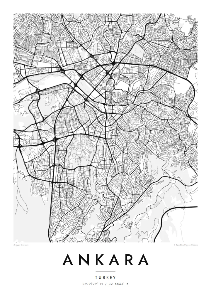
Minimalist map poster · Türkiye
39.9199° N / 32.8543° E
A plateau capital spreading from a citadel hill, cut through by a long boulevard running south toward the ministries and Çankaya.

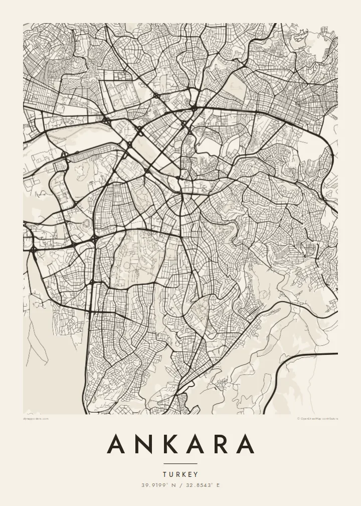


One city, five moods
Ekamowa emwit style ouga bwe ouga ekamowa e dedaña ñan bwega. Style otata a kor eangan — eprint, eframe ke HD files.
 Pixel ekwan · 24 × 36″ print file
Print-sharp
Enin 100% crop eo mai print file eo elango. Poster otata — eprint, eframe ke edownload — erender iaan server bwir e 300 DPI, dedaña ñan 7,200 × 10,800 pixels, bwe lane ekekedik ekwan ebwe crisp iaan print 24 × 36″.
Ituro


The map
Ankara sits on the Anatolian plateau at more than 900 metres, and from above its oldest layer is easy to find: the citadel on its rocky hill north-east of the centre, wrapped in a tight knot of lanes that ignore any grid. Everything newer radiates away from that point. Over the twentieth century the city was pushed outward as a small provincial town became the seat of a republic.
Ankara became the capital in 1923, and the plan drawn up for it in the late 1920s by the German planner Hermann Jansen still shows in the map. Atatürk Boulevard runs as a long spine from Ulus through Kızılay to the government quarter. Gençlik Park is pressed against the old centre, and Anıtkabir, Atatürk's mausoleum, occupies its own hill to the west within a broad ceremonial park.
Further out, the city loses its early order and breaks into large residential districts, ring roads and campuses. The wooded grounds of the Middle East Technical University form one of the largest green shapes on the south-western edge, with the lakes of Eymir and Mogan beyond them. An Ankara map poster captures both the deliberately planned capital and the much larger city that grew around it.
The walled citadel rises above Ulus, north-east of the centre. Its irregular ring of fortifications and tight inner lanes form the densest and oldest street pattern in the city.
A straight north–south axis linking Ulus, Kızılay and Çankaya. On the map it reads as the city's backbone, with ministries, parks and embassies lined up along it.
Atatürk's mausoleum stands on a hilltop west of Kızılay, surrounded by a broad area of green and ceremonial ground that stands out clearly against the housing blocks around it.
Make it yours
Add a date, a name or a line of your own, switch style, size or orientation.
Preview ededa low-resolution im watermark. Print im HD files erender iaan 300 DPI, dedaña ñan 7,200 × 10,800 px, ededa watermark.
Why Ankara
Ankara tends to be personal for the people who hang it: students who spent years at one of its universities, diplomats posted to Çankaya, families who moved to the capital for work. The map holds the route from the citadel down the boulevard, a walk most of them made many times.
You can change the title and subtitle, add a date that matters and adjust the coordinates line. Choose Classic black & white, Noir, Paper, Blueprint or Sand, then download the $9 HD files to print at home, or order a matte print.
Oder poster Ankara| Print size | Resolution | Files |
|---|---|---|
| 30 × 40 cm (11.8 × 15.7″) | 3,543 × 4,724 px | PNG · PDF |
| 29.7 × 42 cm (A3, 11.7 × 16.5″) | 3,508 × 4,961 px | PNG · PDF |
| 42 × 59.4 cm (A2, 16.5 × 23.4″) | 4,961 × 7,016 px | PNG · PDF |
| 45.7 × 61 cm (18 × 24″) | 5,400 × 7,200 px | PNG · PDF |
| 50 × 70 cm (19.7 × 27.6″) | 5,906 × 8,268 px | PNG · PDF |
| 61 × 91.4 cm (24 × 36″) | 7,200 × 10,800 px | PNG · PDF |
For comparison, the free preview is 900 px wide, watermarked and meant for screens. The HD files have up to 8× the resolution in each direction and print cleanly at full poster size.
Emwit style iaan capña page, im dogen Printed Poster — size eo, im framme ouga tomwin — ke Digital HD Files. Checkout eaer sit step, im order page bwira eupdate iaan payment eo emej.
Eprint iaan matte paper 200 gsm, iaan size eo eo, mai 30 × 40 cm ñan 24 × 36″. Poster eprint eo emeja iaan $39, shipping ededo.
Eko. Emwit frame wood solid iaan black, white, oak natural ke wood dark. Etaña shatterproof glazing im ready ñan hang. Poster eframe emeja iaan $99, shipping ededo.
Eaeoen e ngaaba ngeni ouwa age ngaabe. Ngaeo poster e ibiyaneo ibon e print partner eg ibom ngaen ingi ngae 30+ eben, e naeo e yan ngaae e 3–7 aon wan ewa. Kom ngaa e eain ingi tracking ibon My Orders. Tauweo ebe 2–5 wik, ingi ibon ngaen ibun e ngaeo ngaeigie, e saet e sooe nuwe kom e pae.
Kabun photo bwira iaan 14 aean mai delivery, im bwira ereprint ededo ke erefund.
Eko. Iaan editor page eanin, ouga change title, subtitle, im coordinates line ñan tomwin ouga koda, im emwit style im size. Order eprint, eframe im digital otata ekamowa design ouga tomwin.
Iaan $9 ouga ereub 300 DPI PNG im PDF print-ready iaan size otata eo, ededa watermark, ñan print ekamowa tomwin. Ouga aewedik? Download preview ededa watermarked kabun.
