Highway 1
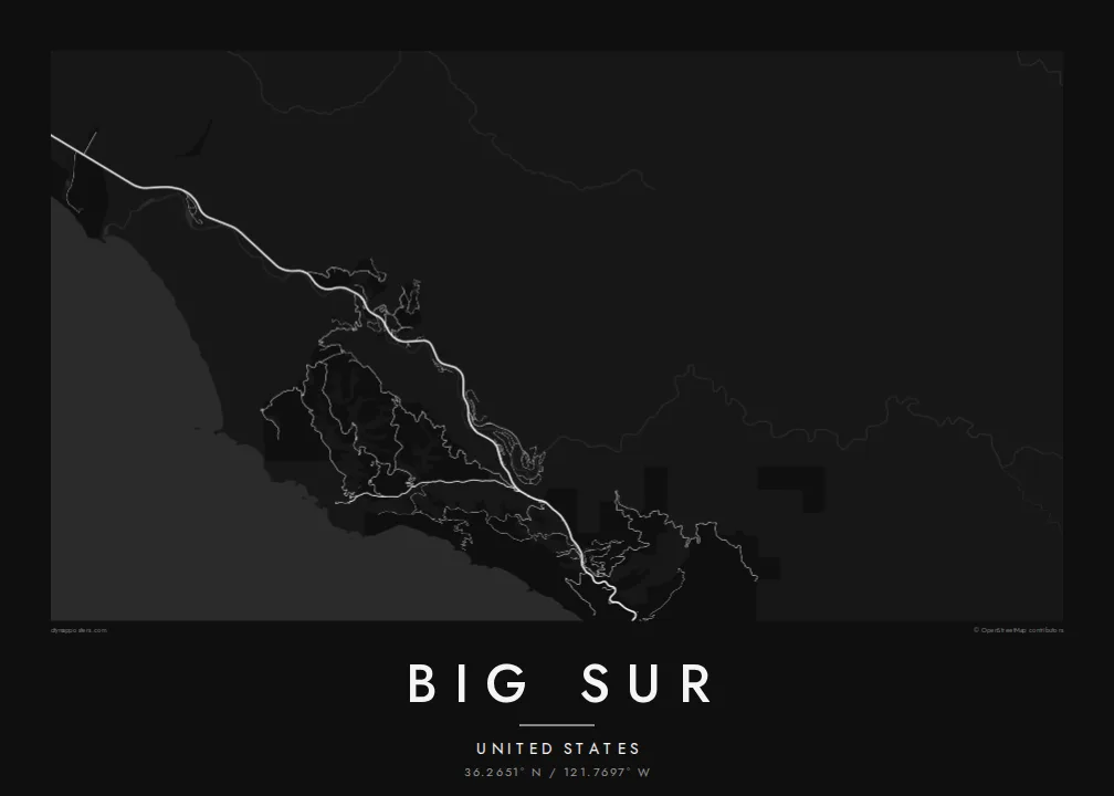
The coastal road follows every contour of the slope, so its twisting line forms the spine of the map from north to south.
Minimalist map poster · United States
36.2651° N / 121.7697° W
A thin coastal highway pinned between steep mountains and the Pacific, crossing canyon after canyon on narrow bridges



One city, five moods
Ekamowa emwit style ouga bwe ouga ekamowa e dedaña ñan bwega. Style otata a kor eangan — eprint, eframe ke HD files.
 Pixel ekwan · 24 × 36″ print file
Print-sharp
Enin 100% crop eo mai print file eo elango. Poster otata — eprint, eframe ke edownload — erender iaan server bwir e 300 DPI, dedaña ñan 7,200 × 10,800 pixels, bwe lane ekekedik ekwan ebwe crisp iaan print 24 × 36″.
Ituro


The map
Big Sur is the stretch of central California coast south of Carmel where the Santa Lucia Mountains rise abruptly from the Pacific. There is almost no coastal plain. On a map this produces one of the most striking lines anywhere: State Route 1 hugs the slope for mile after mile, and a few side roads climb into canyons that cut down toward the ocean.
The highway through Big Sur was completed in 1937 after years of construction, and the concrete arch of the Bixby Creek Bridge, opened in 1932, remains one of its most photographed sights. The road is still exposed to landslides, and sections have closed many times over the years. Point Sur, with its lighthouse on a volcanic rock, is one of the few breaks in the cliffs.
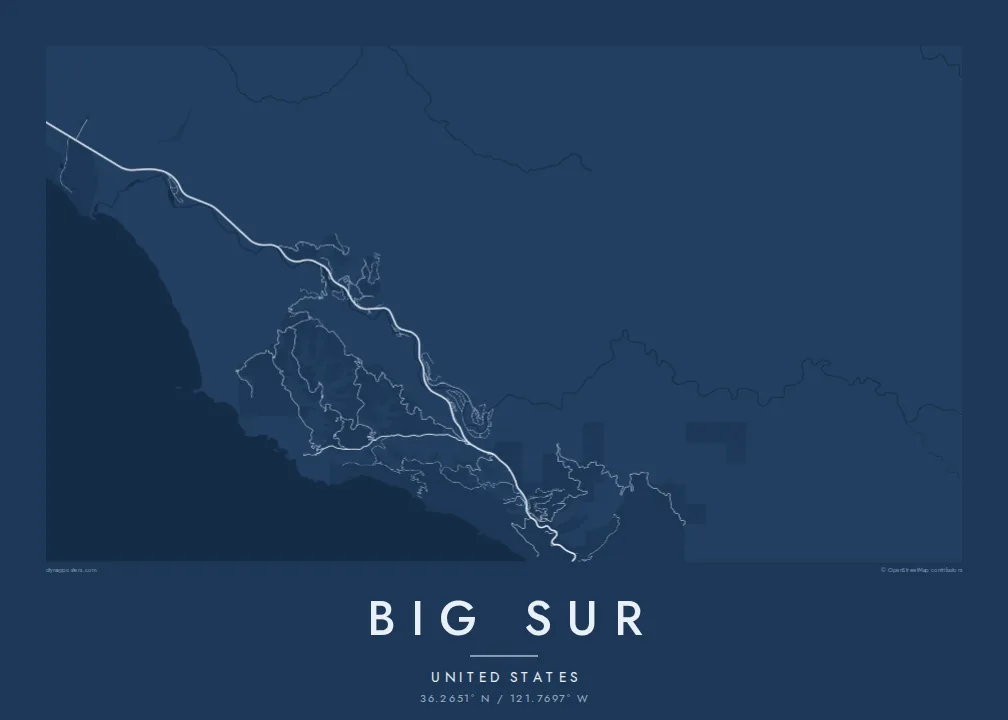
A Big Sur map poster is mostly open space: ocean on one side, forested ridges on the other, and between them a single road with its bends and bridges. Small settlements, such as the cluster in the Big Sur River valley, appear as brief thickenings along the line, which makes the whole composition feel spare and quiet.
The coastal road follows every contour of the slope, so its twisting line forms the spine of the map from north to south.
Creeks cut down to the sea at intervals, and the road crosses them on bridges such as Bixby Creek, each crossing marking a small notch in the coastline.
A large rock joined to the mainland by a sandbar, drawn as a rounded knob off an otherwise smooth shoreline, with its lighthouse on the summit.
Make it yours
Add a date, a name or a line of your own, switch style, size or orientation.
Preview ededa low-resolution im watermark. Print im HD files erender iaan 300 DPI, dedaña ñan 7,200 × 10,800 px, ededa watermark.
Why Big Sur
This is a map for people who have driven the coast in an open car, camped among the redwoods or proposed at a turnout above the sea. A custom title and subtitle can record the date, and the coordinates line can mark the exact viewpoint.
The spare geography looks strong in Noir and Blueprint, and quieter in Paper, Sand or Classic black & white. The digital files include six print sizes, from 30×40 cm to 24×36 inches, each as a 300 DPI PNG and a print-ready PDF.
Oder poster Big Sur| Print size | Resolution | Files |
|---|---|---|
| 30 × 40 cm11.8 × 15.7″ | 3,543 × 4,724 px | PNG · PDF |
| 29.7 × 42 cm (A3)11.7 × 16.5″ | 3,508 × 4,961 px | PNG · PDF |
| 42 × 59.4 cm (A2)16.5 × 23.4″ | 4,961 × 7,016 px | PNG · PDF |
| 45.7 × 61 cm18 × 24″ | 5,400 × 7,200 px | PNG · PDF |
| 50 × 70 cm19.7 × 27.6″ | 5,906 × 8,268 px | PNG · PDF |
| 61 × 91.4 cm24 × 36″ | 7,200 × 10,800 px | PNG · PDF |
For comparison, the free preview is 900 px wide, watermarked and meant for screens. The HD files have up to 8× the resolution in each direction and print cleanly at full poster size.
Emwit style iaan capña page, im dogen Printed Poster — size eo, im framme ouga tomwin — ke Digital HD Files. Checkout eaer sit step, im order page bwira eupdate iaan payment eo emej.
Eprint iaan matte paper 200 gsm, iaan size eo eo, mai 30 × 40 cm ñan 24 × 36″. Poster eprint eo emeja iaan $39, shipping ededo.
Eko. Emwit frame wood solid iaan black, white, oak natural ke wood dark. Etaña shatterproof glazing im ready ñan hang. Poster eframe emeja iaan $99, shipping ededo.
Shipping ma free ägen 60+ country. Poster ngaga eo e print ägen print partner nearest ibiema 30+ country, ae e tep ägen 3–7 business day. Ngaga kor status ae tracking ibe My Orders. Country ibiema e tep 2–5 week, ae country ngaga ibe shipping e bwaren, website e ibin oen bwa ngaga pay.
Kabun photo bwira iaan 14 aean mai delivery, im bwira ereprint ededo ke erefund.
Eko. Iaan editor page eanin, ouga change title, subtitle, im coordinates line ñan tomwin ouga koda, im emwit style im size. Order eprint, eframe im digital otata ekamowa design ouga tomwin.
Iaan $9 ouga ereub 300 DPI PNG im PDF print-ready iaan size otata eo, ededa watermark, ñan print ekamowa tomwin. Ouga aewedik? Download preview ededa watermarked kabun.
