The Nile
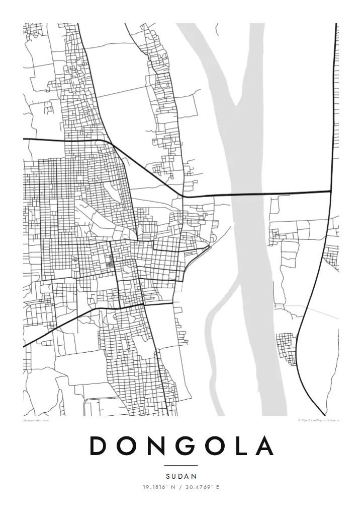
The river flows past the town in a wide channel, often with islands and sandbars, and it dominates the composition as the single largest shape on the poster.
Minimalist map poster · Sudan
19.1816° N / 30.4769° E
A riverside town on the west bank of the Nile, a narrow green band of palms set against open desert.


One city, five moods
Ekamowa emwit style ouga bwe ouga ekamowa e dedaña ñan bwega. Style otata a kor eangan — eprint, eframe ke HD files.
 Pixel ekwan · 24 × 36″ print file
Print-sharp
Enin 100% crop eo mai print file eo elango. Poster otata — eprint, eframe ke edownload — erender iaan server bwir e 300 DPI, dedaña ñan 7,200 × 10,800 pixels, bwe lane ekekedik ekwan ebwe crisp iaan print 24 × 36″.
Ituro


The map
Dongola is the capital of Sudan's Northern State and lies on the west bank of the Nile, in the long stretch of the river that crosses the Nubian desert. From above, its shape is dictated by water: a strip of cultivated land and date palms runs along the riverbank, the town sits within it, and beyond that the desert begins almost at once.
The modern town should not be confused with Old Dongola, the ruined capital of the medieval Nubian kingdom of Makuria, which lies some distance upstream on the opposite bank. That older site is known for its churches, a later mosque and a long archaeological history. Present-day Dongola grew up as an administrative and market centre in the nineteenth century.
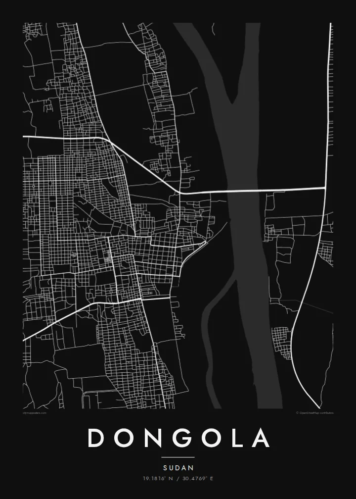
A Dongola map poster captures one of the clearest relationships between a town and a river anywhere. The Nile runs as a broad, confident line, the streets gather in a narrow belt beside it, and the paper around them stays almost empty, standing in for the desert that frames everything.
The river flows past the town in a wide channel, often with islands and sandbars, and it dominates the composition as the single largest shape on the poster.
A narrow band of irrigated fields and date groves lines the riverbank. On the map it appears as a strip of small plots and tracks between water and town.
West of the town, streets end abruptly where cultivation stops. The empty space beyond gives the poster a stark, graphic quality that few riverside maps can match.
Make it yours
Add a date, a name or a line of your own, switch style, size or orientation.
Preview ededa low-resolution im watermark. Print im HD files erender iaan 300 DPI, dedaña ñan 7,200 × 10,800 px, ededa watermark.
Why Dongola
For Sudanese families who come from the Northern State, and for travellers who followed the Nile north, Dongola is a meaningful place. Its map is simple and striking: river, town, desert, drawn in a few confident lines.
Add a personal title, a date or family name in the subtitle, and the coordinates line, then choose Classic black & white, Noir, Paper, Blueprint or Sand. Sand is a natural fit for a town framed by desert.
Oder poster Dongola| Print size | Resolution | Files |
|---|---|---|
| 30 × 40 cm11.8 × 15.7″ | 3,543 × 4,724 px | PNG · PDF |
| 29.7 × 42 cm (A3)11.7 × 16.5″ | 3,508 × 4,961 px | PNG · PDF |
| 42 × 59.4 cm (A2)16.5 × 23.4″ | 4,961 × 7,016 px | PNG · PDF |
| 45.7 × 61 cm18 × 24″ | 5,400 × 7,200 px | PNG · PDF |
| 50 × 70 cm19.7 × 27.6″ | 5,906 × 8,268 px | PNG · PDF |
| 61 × 91.4 cm24 × 36″ | 7,200 × 10,800 px | PNG · PDF |
For comparison, the free preview is 900 px wide, watermarked and meant for screens. The HD files have up to 8× the resolution in each direction and print cleanly at full poster size.
Emwit style iaan capña page, im dogen Printed Poster — size eo, im framme ouga tomwin — ke Digital HD Files. Checkout eaer sit step, im order page bwira eupdate iaan payment eo emej.
Eprint iaan matte paper 200 gsm, iaan size eo eo, mai 30 × 40 cm ñan 24 × 36″. Poster eprint eo emeja iaan $39, shipping ededo.
Eko. Emwit frame wood solid iaan black, white, oak natural ke wood dark. Etaña shatterproof glazing im ready ñan hang. Poster eframe emeja iaan $99, shipping ededo.
Shipping ma free ägen 60+ country. Poster ngaga eo e print ägen print partner nearest ibiema 30+ country, ae e tep ägen 3–7 business day. Ngaga kor status ae tracking ibe My Orders. Country ibiema e tep 2–5 week, ae country ngaga ibe shipping e bwaren, website e ibin oen bwa ngaga pay.
Kabun photo bwira iaan 14 aean mai delivery, im bwira ereprint ededo ke erefund.
Eko. Iaan editor page eanin, ouga change title, subtitle, im coordinates line ñan tomwin ouga koda, im emwit style im size. Order eprint, eframe im digital otata ekamowa design ouga tomwin.
Iaan $9 ouga ereub 300 DPI PNG im PDF print-ready iaan size otata eo, ededa watermark, ñan print ekamowa tomwin. Ouga aewedik? Download preview ededa watermarked kabun.
