Ohio River bluffs
The city's northern edge drops toward the Ohio River, where the dense street pattern gives way to wooded slopes and the wide, gently curving water.
Minimalist map poster · United States
39.0751° N / 84.4472° W
A hilltop suburb on the Kentucky bluffs above the Ohio River, with wooded ravines between its winding streets.


One city, five moods
Ekamowa emwit style ouga bwe ouga ekamowa e dedaña ñan bwega. Style otata a kor eangan — eprint, eframe ke HD files.
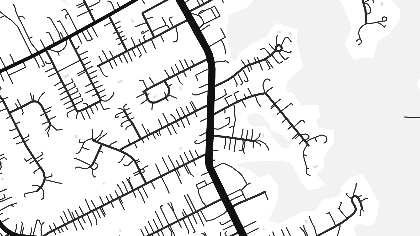 Pixel ekwan · 24 × 36″ print file
Print-sharp
Enin 100% crop eo mai print file eo elango. Poster otata — eprint, eframe ke edownload — erender iaan server bwir e 300 DPI, dedaña ñan 7,200 × 10,800 pixels, bwe lane ekekedik ekwan ebwe crisp iaan print 24 × 36″.
Ituro


The map
Fort Thomas is a city in Campbell County, Kentucky, on high ground above the south bank of the Ohio River, across from the east side of Cincinnati. The terrain shapes its street pattern. Main roads run along the ridges, while residential streets curve with the contours and stop at the edges of steep, wooded ravines that run down toward the river.
The city takes its name from a US Army post established here in the late nineteenth century and named after the Civil War general George H. Thomas. Part of the former post is now a public park, and a stone water tower from the military era still stands as a local landmark. The city later grew into a largely residential community.
Near the river the land drops sharply, and the map shows fewer streets there, with the broad line of the Ohio and the Cincinnati riverbank beyond. A Fort Thomas map poster pairs the tidy suburban streets on the ridge with that open water, so the composition keeps a strong sense of height even in flat black and white.
The city's northern edge drops toward the Ohio River, where the dense street pattern gives way to wooded slopes and the wide, gently curving water.
The grounds of the old military post, now largely parkland, show as open space among the residential streets, a reminder of how the city got its name.
Main roads follow the high ground, and side streets curve with the hills, producing a layout of long lines and soft bends rather than a strict grid.
Make it yours
Add a date, a name or a line of your own, switch style, size or orientation.
Preview ededa low-resolution im watermark. Print im HD files erender iaan 300 DPI, dedaña ñan 7,200 × 10,800 px, ededa watermark.
Why Fort Thomas
Fort Thomas residents tend to be attached to their neighbourhoods, their schools and their views of the river. A map of the city is a thoughtful way to mark where you live or grew up, clean enough for a modern interior yet rooted in one specific place.
Personalise the title, subtitle and coordinates line with a name or a date, and choose one of five styles: Classic black & white, Noir, Paper, Blueprint or Sand. The digital version costs $9 for six sizes with no watermark, and a printed matte poster can arrive framed.
Oder poster Fort Thomas| Print size | Resolution | Files |
|---|---|---|
| 30 × 40 cm11.8 × 15.7″ | 3,543 × 4,724 px | PNG · PDF |
| 29.7 × 42 cm (A3)11.7 × 16.5″ | 3,508 × 4,961 px | PNG · PDF |
| 42 × 59.4 cm (A2)16.5 × 23.4″ | 4,961 × 7,016 px | PNG · PDF |
| 45.7 × 61 cm18 × 24″ | 5,400 × 7,200 px | PNG · PDF |
| 50 × 70 cm19.7 × 27.6″ | 5,906 × 8,268 px | PNG · PDF |
| 61 × 91.4 cm24 × 36″ | 7,200 × 10,800 px | PNG · PDF |
For comparison, the free preview is 900 px wide, watermarked and meant for screens. The HD files have up to 8× the resolution in each direction and print cleanly at full poster size.
Emwit style iaan capña page, im dogen Printed Poster — size eo, im framme ouga tomwin — ke Digital HD Files. Checkout eaer sit step, im order page bwira eupdate iaan payment eo emej.
Eprint iaan matte paper 200 gsm, iaan size eo eo, mai 30 × 40 cm ñan 24 × 36″. Poster eprint eo emeja iaan $39, shipping ededo.
Eko. Emwit frame wood solid iaan black, white, oak natural ke wood dark. Etaña shatterproof glazing im ready ñan hang. Poster eframe emeja iaan $99, shipping ededo.
Shipping ma free ägen 60+ country. Poster ngaga eo e print ägen print partner nearest ibiema 30+ country, ae e tep ägen 3–7 business day. Ngaga kor status ae tracking ibe My Orders. Country ibiema e tep 2–5 week, ae country ngaga ibe shipping e bwaren, website e ibin oen bwa ngaga pay.
Kabun photo bwira iaan 14 aean mai delivery, im bwira ereprint ededo ke erefund.
Eko. Iaan editor page eanin, ouga change title, subtitle, im coordinates line ñan tomwin ouga koda, im emwit style im size. Order eprint, eframe im digital otata ekamowa design ouga tomwin.
Iaan $9 ouga ereub 300 DPI PNG im PDF print-ready iaan size otata eo, ededa watermark, ñan print ekamowa tomwin. Ouga aewedik? Download preview ededa watermarked kabun.
