Kilronan harbour
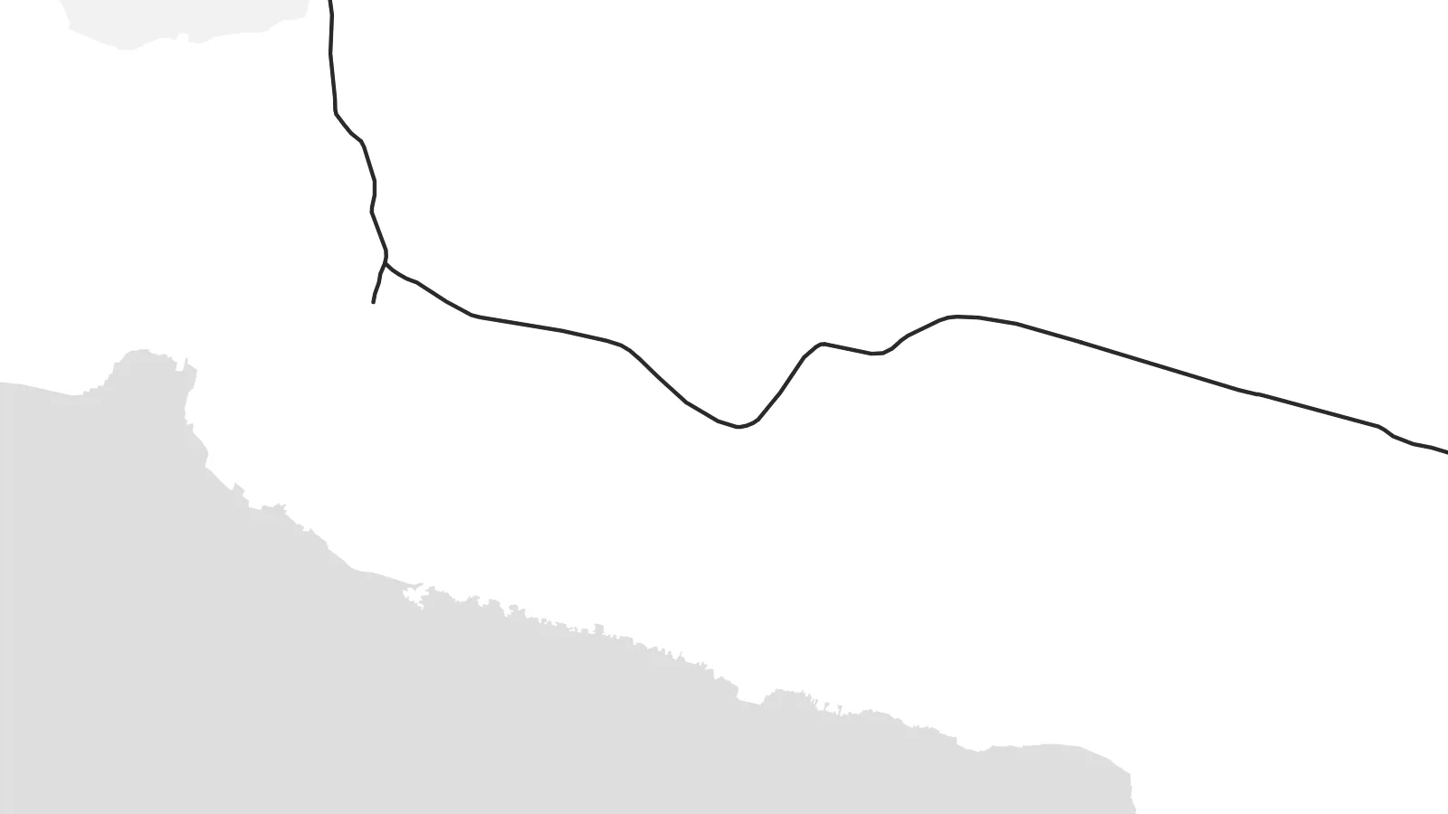
The ferry port on Killeany Bay is where most visitors arrive, and its pier and handful of streets form the densest cluster of lines anywhere on the island.
Minimalist map poster · Ireland
53.1202° N / 9.7297° W
A long limestone island across Galway Bay, laced with stone walls and ending in sheer Atlantic cliffs.


One city, five moods
Ekamowa emwit style ouga bwe ouga ekamowa e dedaña ñan bwega. Style otata a kor eangan — eprint, eframe ke HD files.
 Pixel ekwan · 24 × 36″ print file
Print-sharp
Enin 100% crop eo mai print file eo elango. Poster otata — eprint, eframe ke edownload — erender iaan server bwir e 300 DPI, dedaña ñan 7,200 × 10,800 pixels, bwe lane ekekedik ekwan ebwe crisp iaan print 24 × 36″.
Ituro


The map
Inis Mór is the largest of the Aran Islands, lying across the mouth of Galway Bay off the west coast of Ireland. From above it forms a long, slender wedge running northwest to southeast, with the land tilting gently down toward the bay on the north side and breaking off in high cliffs along the Atlantic shore to the south.
The ground is bare limestone, the same karst as the Burren on the mainland, and it is divided into countless small fields by hand-built dry stone walls. Kilronan, where the ferries arrive, is the main village, and a road threads the island's length, linking a string of small settlements along the sheltered northern side.
On the southern cliff edge stands Dún Aonghasa, a prehistoric stone fort whose curved walls open onto a sheer drop into the ocean. The island remains an Irish-speaking community. An Inis Mór map poster shows it all in one elongated form: road, harbour and villages to the north, and the long, unbroken line of cliffs to the south.
The ferry port on Killeany Bay is where most visitors arrive, and its pier and handful of streets form the densest cluster of lines anywhere on the island.
Small fields enclosed by dry stone walls cover much of the island; where they are mapped they appear as a delicate, irregular mesh across the pale limestone.
The prehistoric fort sits on the brink of the southern cliffs, which run almost the full length of the Atlantic side as one hard, uninterrupted edge.
Make it yours
Add a date, a name or a line of your own, switch style, size or orientation.
Preview ededa low-resolution im watermark. Print im HD files erender iaan 300 DPI, dedaña ñan 7,200 × 10,800 px, ededa watermark.
Why Inis Mór
Inis Mór draws people who have cycled from Kilronan to the fort, families with roots in the Aran Islands and anyone who loves the far western edge of Ireland. It is a spare, windswept shape that asks for nothing more than a simple frame.
Write your own title and subtitle, add a date or the coordinates line, and choose from Classic black & white, Noir, Paper, Blueprint and Sand. Paper and Sand complement the pale limestone, while Noir sharpens the line of the cliffs.
Oder poster Inis Mór| Print size | Resolution | Files |
|---|---|---|
| 30 × 40 cm11.8 × 15.7″ | 3,543 × 4,724 px | PNG · PDF |
| 29.7 × 42 cm (A3)11.7 × 16.5″ | 3,508 × 4,961 px | PNG · PDF |
| 42 × 59.4 cm (A2)16.5 × 23.4″ | 4,961 × 7,016 px | PNG · PDF |
| 45.7 × 61 cm18 × 24″ | 5,400 × 7,200 px | PNG · PDF |
| 50 × 70 cm19.7 × 27.6″ | 5,906 × 8,268 px | PNG · PDF |
| 61 × 91.4 cm24 × 36″ | 7,200 × 10,800 px | PNG · PDF |
For comparison, the free preview is 900 px wide, watermarked and meant for screens. The HD files have up to 8× the resolution in each direction and print cleanly at full poster size.
Emwit style iaan capña page, im dogen Printed Poster — size eo, im framme ouga tomwin — ke Digital HD Files. Checkout eaer sit step, im order page bwira eupdate iaan payment eo emej.
Eprint iaan matte paper 200 gsm, iaan size eo eo, mai 30 × 40 cm ñan 24 × 36″. Poster eprint eo emeja iaan $39, shipping ededo.
Eko. Emwit frame wood solid iaan black, white, oak natural ke wood dark. Etaña shatterproof glazing im ready ñan hang. Poster eframe emeja iaan $99, shipping ededo.
Shipping ma free ägen 60+ country. Poster ngaga eo e print ägen print partner nearest ibiema 30+ country, ae e tep ägen 3–7 business day. Ngaga kor status ae tracking ibe My Orders. Country ibiema e tep 2–5 week, ae country ngaga ibe shipping e bwaren, website e ibin oen bwa ngaga pay.
Kabun photo bwira iaan 14 aean mai delivery, im bwira ereprint ededo ke erefund.
Eko. Iaan editor page eanin, ouga change title, subtitle, im coordinates line ñan tomwin ouga koda, im emwit style im size. Order eprint, eframe im digital otata ekamowa design ouga tomwin.
Iaan $9 ouga ereub 300 DPI PNG im PDF print-ready iaan size otata eo, ededa watermark, ñan print ekamowa tomwin. Ouga aewedik? Download preview ededa watermarked kabun.
