Al-Muizz Street
The long north–south spine of the Fatimid city, running between its old gates. On the map it is one of the few continuous lines through the dense district.
Minimalist map poster · Egypt
30.0414° N / 31.2565° E
A dense historic core east of the Nile, threaded by one long medieval street and framed by the Citadel and cemeteries
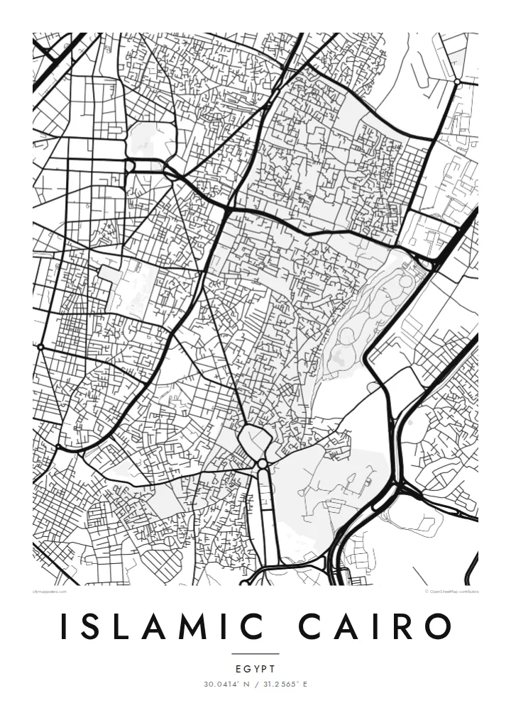
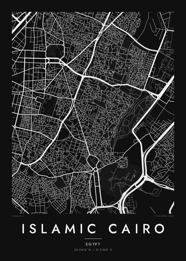
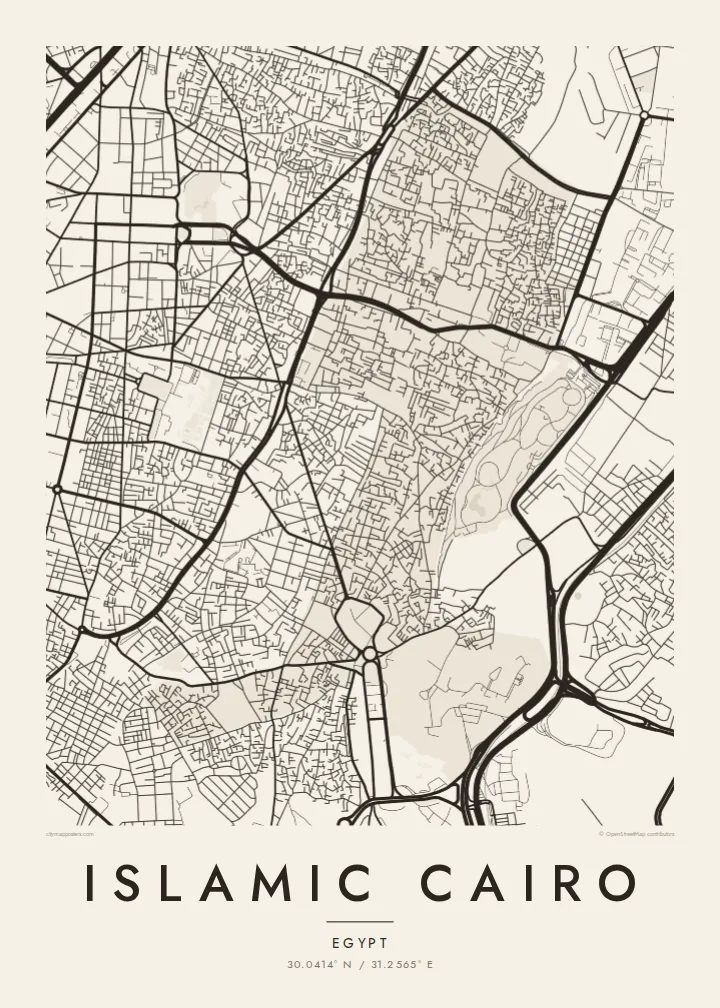

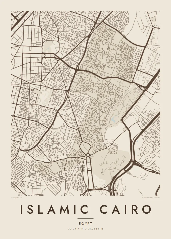
One city, five moods
Ekamowa emwit style ouga bwe ouga ekamowa e dedaña ñan bwega. Style otata a kor eangan — eprint, eframe ke HD files.
 Pixel ekwan · 24 × 36″ print file
Print-sharp
Enin 100% crop eo mai print file eo elango. Poster otata — eprint, eframe ke edownload — erender iaan server bwir e 300 DPI, dedaña ñan 7,200 × 10,800 pixels, bwe lane ekekedik ekwan ebwe crisp iaan print 24 × 36″.
Ituro


The map
Islamic Cairo, or Historic Cairo, is the medieval heart of the city, east of the modern centre and the Nile. From above, it is one of the densest street patterns anywhere. Narrow lanes branch and turn, crossed by only a few straighter routes. On its eastern side, the fabric gives way to the large, open cemetery areas known as the City of the Dead.
The core of the district dates back to the Fatimid foundation of al-Qahira in 969. Al-Muizz Street runs north to south through it, lined with mosques, madrasas and palaces from many dynasties. Its old city gates, including Bab Zuwayla, still stand. Al-Azhar Mosque, founded in 970, lies nearby and is linked to one of the oldest universities in the world.
To the south, the Citadel of Saladin sits on a spur of the Muqattam hills, overlooking the city. The Khan el-Khalili market fills the blocks around al-Hussein. The area was listed by UNESCO as a World Heritage Site in 1979. An Islamic Cairo map poster shows the medieval city at full density, with the Citadel and cemeteries at its edges.
The long north–south spine of the Fatimid city, running between its old gates. On the map it is one of the few continuous lines through the dense district.
Saladin's fortress stands on high ground at the south-east edge of the district. Its walled compound is clearly separated from the surrounding streets.
Large cemetery districts stretch along the eastern edge. They form a distinct pattern of enclosures and paths beside the living city.
Make it yours
Add a date, a name or a line of your own, switch style, size or orientation.
Preview ededa low-resolution im watermark. Print im HD files erender iaan 300 DPI, dedaña ñan 7,200 × 10,800 px, ededa watermark.
Why Islamic Cairo
Islamic Cairo draws historians, travellers, architects and people whose families come from its lanes. A map captures the density that is hard to take in on the ground and gives it a calm, readable shape.
Set your own title, subtitle and coordinates, perhaps with a date or a family name. Choose one of five styles. Sand gives the medieval city a warm, desert-toned look, while Classic black & white emphasises its intricate street pattern.
Oder poster Islamic Cairo| Print size | Resolution | Files |
|---|---|---|
| 30 × 40 cm11.8 × 15.7″ | 3,543 × 4,724 px | PNG · PDF |
| 29.7 × 42 cm (A3)11.7 × 16.5″ | 3,508 × 4,961 px | PNG · PDF |
| 42 × 59.4 cm (A2)16.5 × 23.4″ | 4,961 × 7,016 px | PNG · PDF |
| 45.7 × 61 cm18 × 24″ | 5,400 × 7,200 px | PNG · PDF |
| 50 × 70 cm19.7 × 27.6″ | 5,906 × 8,268 px | PNG · PDF |
| 61 × 91.4 cm24 × 36″ | 7,200 × 10,800 px | PNG · PDF |
For comparison, the free preview is 900 px wide, watermarked and meant for screens. The HD files have up to 8× the resolution in each direction and print cleanly at full poster size.
Emwit style iaan capña page, im dogen Printed Poster — size eo, im framme ouga tomwin — ke Digital HD Files. Checkout eaer sit step, im order page bwira eupdate iaan payment eo emej.
Eprint iaan matte paper 200 gsm, iaan size eo eo, mai 30 × 40 cm ñan 24 × 36″. Poster eprint eo emeja iaan $39, shipping ededo.
Eko. Emwit frame wood solid iaan black, white, oak natural ke wood dark. Etaña shatterproof glazing im ready ñan hang. Poster eframe emeja iaan $99, shipping ededo.
Shipping ma free ägen 60+ country. Poster ngaga eo e print ägen print partner nearest ibiema 30+ country, ae e tep ägen 3–7 business day. Ngaga kor status ae tracking ibe My Orders. Country ibiema e tep 2–5 week, ae country ngaga ibe shipping e bwaren, website e ibin oen bwa ngaga pay.
Kabun photo bwira iaan 14 aean mai delivery, im bwira ereprint ededo ke erefund.
Eko. Iaan editor page eanin, ouga change title, subtitle, im coordinates line ñan tomwin ouga koda, im emwit style im size. Order eprint, eframe im digital otata ekamowa design ouga tomwin.
Iaan $9 ouga ereub 300 DPI PNG im PDF print-ready iaan size otata eo, ededa watermark, ñan print ekamowa tomwin. Ouga aewedik? Download preview ededa watermarked kabun.
