Canal network
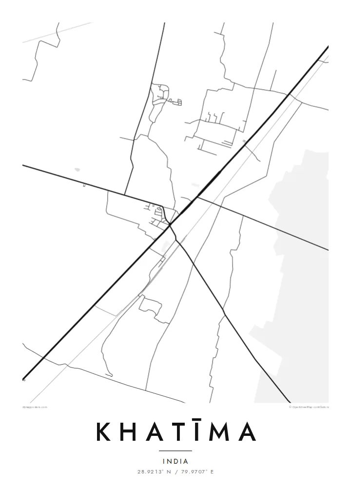
Irrigation canals cross the fields around the town in long, straight lines, giving the wider map a precise, engineered pattern that frames the settlement.
Minimalist map poster · India
28.9213° N / 79.9707° E
A Terai town on the plains of Uttarakhand near the Nepal border, bordered by canals, fields and forest.
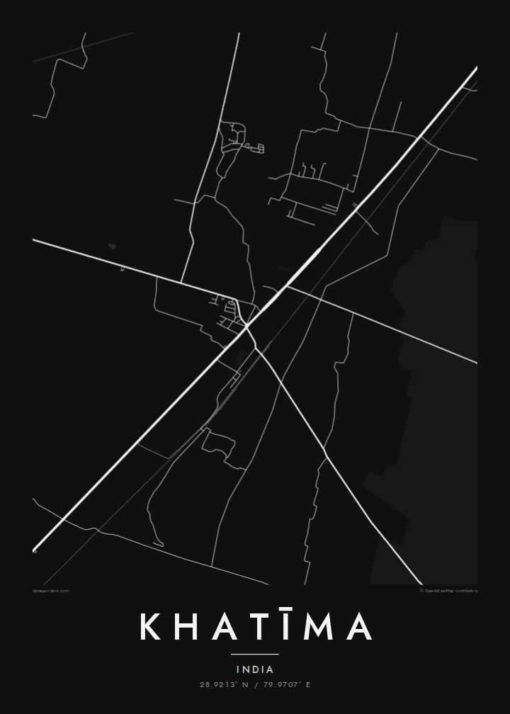

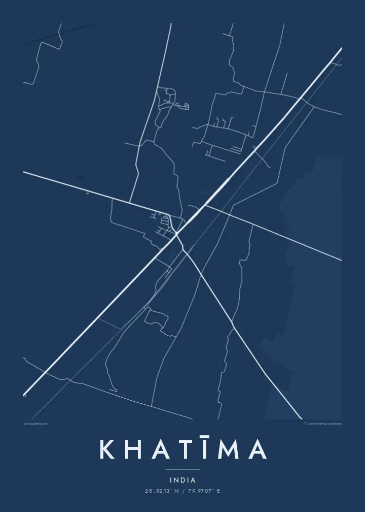

One city, five moods
Ekamowa emwit style ouga bwe ouga ekamowa e dedaña ñan bwega. Style otata a kor eangan — eprint, eframe ke HD files.
 Pixel ekwan · 24 × 36″ print file
Print-sharp
Enin 100% crop eo mai print file eo elango. Poster otata — eprint, eframe ke edownload — erender iaan server bwir e 300 DPI, dedaña ñan 7,200 × 10,800 pixels, bwe lane ekekedik ekwan ebwe crisp iaan print 24 × 36″.
Ituro


The map
Khatīma lies in the Udham Singh Nagar district of Uttarakhand, on the flat Terai plain at the foot of the Himalaya and close to the border with Nepal. The map shows a town spread along its main road and railway line, surrounded by a very regular landscape of irrigated fields, canals and patches of forest. The hills begin a short distance to the north.
The area is a homeland of the Tharu people, a community traditionally associated with the Terai, and many Tharu villages lie around the town. Water shapes the landscape: the Sharda river flows to the east along the frontier, and canals distribute water across the farmland. Khatīma also holds a notable place in the history of the movement for a separate Uttarakhand state.
A Khatīma map poster works well when framed wide enough to show the canals and the long straight lines of the field boundaries, which contrast with the more irregular streets of the town. Blueprint suits the engineered water network, and Paper gives the plains a soft, calm tone. The result is quiet, orderly and quite distinctive.
Irrigation canals cross the fields around the town in long, straight lines, giving the wider map a precise, engineered pattern that frames the settlement.
The main road and the railway pass through Khatīma, forming the axis along which the town has grown and linking it with Tanakpur and the plains beyond.
Patches of forest remain among the farmland of the Terai, appearing as irregular open areas that interrupt the otherwise regular pattern of fields.
Make it yours
Add a date, a name or a line of your own, switch style, size or orientation.
Preview ededa low-resolution im watermark. Print im HD files erender iaan 300 DPI, dedaña ñan 7,200 × 10,800 px, ededa watermark.
Why Khatīma
Khatīma holds deep meaning for Tharu families, for people from the Kumaon plains, and for those who remember its role in the statehood movement. A map of the town and its canals is a calm, personal image that carries that attachment without needing words.
Add your own title and subtitle, perhaps with a family name, include coordinates or a date, and choose Classic black & white, Noir, Paper, Blueprint or Sand. The $9 download includes six sizes, and printed posters can be ordered with a wooden frame.
Oder poster Khatīma| Print size | Resolution | Files |
|---|---|---|
| 30 × 40 cm (11.8 × 15.7″) | 3,543 × 4,724 px | PNG · PDF |
| 29.7 × 42 cm (A3, 11.7 × 16.5″) | 3,508 × 4,961 px | PNG · PDF |
| 42 × 59.4 cm (A2, 16.5 × 23.4″) | 4,961 × 7,016 px | PNG · PDF |
| 45.7 × 61 cm (18 × 24″) | 5,400 × 7,200 px | PNG · PDF |
| 50 × 70 cm (19.7 × 27.6″) | 5,906 × 8,268 px | PNG · PDF |
| 61 × 91.4 cm (24 × 36″) | 7,200 × 10,800 px | PNG · PDF |
For comparison, the free preview is 900 px wide, watermarked and meant for screens. The HD files have up to 8× the resolution in each direction and print cleanly at full poster size.
Emwit style iaan capña page, im dogen Printed Poster — size eo, im framme ouga tomwin — ke Digital HD Files. Checkout eaer sit step, im order page bwira eupdate iaan payment eo emej.
Eprint iaan matte paper 200 gsm, iaan size eo eo, mai 30 × 40 cm ñan 24 × 36″. Poster eprint eo emeja iaan $39, shipping ededo.
Eko. Emwit frame wood solid iaan black, white, oak natural ke wood dark. Etaña shatterproof glazing im ready ñan hang. Poster eframe emeja iaan $99, shipping ededo.
Eaeoen e ngaaba ngeni ouwa age ngaabe. Ngaeo poster e ibiyaneo ibon e print partner eg ibom ngaen ingi ngae 30+ eben, e naeo e yan ngaae e 3–7 aon wan ewa. Kom ngaa e eain ingi tracking ibon My Orders. Tauweo ebe 2–5 wik, ingi ibon ngaen ibun e ngaeo ngaeigie, e saet e sooe nuwe kom e pae.
Kabun photo bwira iaan 14 aean mai delivery, im bwira ereprint ededo ke erefund.
Eko. Iaan editor page eanin, ouga change title, subtitle, im coordinates line ñan tomwin ouga koda, im emwit style im size. Order eprint, eframe im digital otata ekamowa design ouga tomwin.
Iaan $9 ouga ereub 300 DPI PNG im PDF print-ready iaan size otata eo, ededa watermark, ñan print ekamowa tomwin. Ouga aewedik? Download preview ededa watermarked kabun.
