Main road
The main road through the settlement is its backbone. Homes, shops and markets gather along it, and it links the town with the wider province.
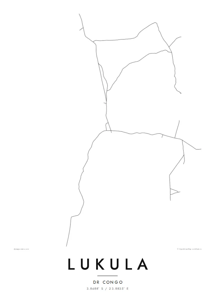
Minimalist map poster · Congo - Kinshasa
3.8688° S / 23.8835° E
A small town in Sankuru province, in the forest and savanna country of central DR Congo, linked by long earth roads.


One city, five moods
Ekamowa emwit style ouga bwe ouga ekamowa e dedaña ñan bwega. Style otata a kor eangan — eprint, eframe ke HD files.
 Pixel ekwan · 24 × 36″ print file
Print-sharp
Enin 100% crop eo mai print file eo elango. Poster otata — eprint, eframe ke edownload — erender iaan server bwir e 300 DPI, dedaña ñan 7,200 × 10,800 pixels, bwe lane ekekedik ekwan ebwe crisp iaan print 24 × 36″.
Ituro


The map
This Lukula lies in Sankuru, a province in the centre of the Democratic Republic of the Congo. It should not be confused with the town of the same name in Kongo Central. Sankuru is a region of rivers, rainforest and wooded savanna, far from the country's large cities. Towns here serve as trading and administrative points for the surrounding farming villages, and they rely on long unpaved roads and river routes.
Little has been written about Lukula itself, so its map says the most about it. Settlements in this part of Sankuru are usually spread out, with houses and compounds along a main road and smaller paths leading into gardens and fields. The edges blur into cultivated plots and woodland, and streams run through narrow green valleys.
A Lukula map poster is a quiet, sparse design, defined by a few strong lines of road and track against wide open space. It suits anyone with a personal connection to this part of the Congo and works naturally as a minimal black-and-white print, where every path counts.
The main road through the settlement is its backbone. Homes, shops and markets gather along it, and it links the town with the wider province.
Narrow tracks branch off the main road into residential areas and fields, forming a fine, irregular network typical of rural Congolese towns.
Beyond the houses, the map opens into farmland, woodland and stream valleys, leaving generous empty space around the settlement on every side.
Make it yours
Add a date, a name or a line of your own, switch style, size or orientation.
Preview ededa low-resolution im watermark. Print im HD files erender iaan 300 DPI, dedaña ñan 7,200 × 10,800 px, ededa watermark.
Why Lukula
For people from Lukula and Sankuru living in Kinshasa, elsewhere in the Congo or abroad, a map of the town is a direct link to family and origins. It also suits missionaries, doctors and aid workers who spent time there.
Personalise the title and subtitle with a family name, a date or a dedication, and point the coordinates line to a specific place. Choose Classic black & white, Noir, Paper, Blueprint or Sand to suit your room.
Oder poster Lukula| Print size | Resolution | Files |
|---|---|---|
| 30 × 40 cm (11.8 × 15.7″) | 3,543 × 4,724 px | PNG · PDF |
| 29.7 × 42 cm (A3, 11.7 × 16.5″) | 3,508 × 4,961 px | PNG · PDF |
| 42 × 59.4 cm (A2, 16.5 × 23.4″) | 4,961 × 7,016 px | PNG · PDF |
| 45.7 × 61 cm (18 × 24″) | 5,400 × 7,200 px | PNG · PDF |
| 50 × 70 cm (19.7 × 27.6″) | 5,906 × 8,268 px | PNG · PDF |
| 61 × 91.4 cm (24 × 36″) | 7,200 × 10,800 px | PNG · PDF |
For comparison, the free preview is 900 px wide, watermarked and meant for screens. The HD files have up to 8× the resolution in each direction and print cleanly at full poster size.
Emwit style iaan capña page, im dogen Printed Poster — size eo, im framme ouga tomwin — ke Digital HD Files. Checkout eaer sit step, im order page bwira eupdate iaan payment eo emej.
Eprint iaan matte paper 200 gsm, iaan size eo eo, mai 30 × 40 cm ñan 24 × 36″. Poster eprint eo emeja iaan $39, shipping ededo.
Eko. Emwit frame wood solid iaan black, white, oak natural ke wood dark. Etaña shatterproof glazing im ready ñan hang. Poster eframe emeja iaan $99, shipping ededo.
Eaeoen e ngaaba ngeni ouwa age ngaabe. Ngaeo poster e ibiyaneo ibon e print partner eg ibom ngaen ingi ngae 30+ eben, e naeo e yan ngaae e 3–7 aon wan ewa. Kom ngaa e eain ingi tracking ibon My Orders. Tauweo ebe 2–5 wik, ingi ibon ngaen ibun e ngaeo ngaeigie, e saet e sooe nuwe kom e pae.
Kabun photo bwira iaan 14 aean mai delivery, im bwira ereprint ededo ke erefund.
Eko. Iaan editor page eanin, ouga change title, subtitle, im coordinates line ñan tomwin ouga koda, im emwit style im size. Order eprint, eframe im digital otata ekamowa design ouga tomwin.
Iaan $9 ouga ereub 300 DPI PNG im PDF print-ready iaan size otata eo, ededa watermark, ñan print ekamowa tomwin. Ouga aewedik? Download preview ededa watermarked kabun.
