The border river
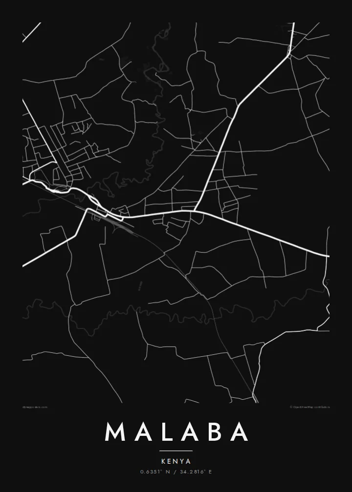
The Malaba River separates Kenya from Uganda. On the poster it runs as a narrow line through the settled area, with the two halves of the town sitting close on either bank.
Minimalist map poster · Kenya
0.6351° N / 34.2816° E
A border town where the Northern Corridor highway and the old railway meet the Malaba River and Uganda


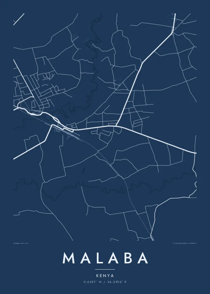

One city, five moods
Ekamowa emwit style ouga bwe ouga ekamowa e dedaña ñan bwega. Style otata a kor eangan — eprint, eframe ke HD files.
 Pixel ekwan · 24 × 36″ print file
Print-sharp
Enin 100% crop eo mai print file eo elango. Poster otata — eprint, eframe ke edownload — erender iaan server bwir e 300 DPI, dedaña ñan 7,200 × 10,800 pixels, bwe lane ekekedik ekwan ebwe crisp iaan print 24 × 36″.
Ituro


The map
Malaba lies on the western edge of Kenya, where the Malaba River marks the boundary with Uganda. A town of the same name faces it on the Ugandan side, so the map shows a settlement split by a thin line of water, with roads converging on the crossing point from both directions.
The main highway is the organising line. It carries freight on the Northern Corridor between the port of Mombasa and the interior of East Africa, and long queues of trucks waiting for clearance have long been part of the town's daily picture. The metre-gauge railway runs close by, crossing into Uganda at the same point.
A Malaba map poster is a map of movement. Around the border post and the road, the town spreads into smaller lanes, markets and homesteads, then dissolves into farmland. It is a place defined less by a centre than by the route that passes through it and the river that divides it.
The Malaba River separates Kenya from Uganda. On the poster it runs as a narrow line through the settled area, with the two halves of the town sitting close on either bank.
The main road carries cargo between the coast and landlocked countries to the west. It cuts straight through the town and gathers the other streets toward the border crossing.
The historic railway from the Kenyan coast crosses into Uganda here. Its line runs near the road, giving the map a second long axis heading toward the frontier.
Make it yours
Add a date, a name or a line of your own, switch style, size or orientation.
Preview ededa low-resolution im watermark. Print im HD files erender iaan 300 DPI, dedaña ñan 7,200 × 10,800 px, ededa watermark.
Why Malaba
For drivers, traders and families on both sides of the border, Malaba is a place of arrivals and departures. A map of it keeps that crossing point on the wall, whether as a hometown or as a memorable stage of a long overland journey.
You can add a title, a subtitle such as a date or route, and a coordinates line. Pick one of five styles, from Classic black & white to Sand, and download the HD files for $9 or order a printed poster with an optional wooden frame.
Oder poster Malaba| Print size | Resolution | Files |
|---|---|---|
| 30 × 40 cm11.8 × 15.7″ | 3,543 × 4,724 px | PNG · PDF |
| 29.7 × 42 cm (A3)11.7 × 16.5″ | 3,508 × 4,961 px | PNG · PDF |
| 42 × 59.4 cm (A2)16.5 × 23.4″ | 4,961 × 7,016 px | PNG · PDF |
| 45.7 × 61 cm18 × 24″ | 5,400 × 7,200 px | PNG · PDF |
| 50 × 70 cm19.7 × 27.6″ | 5,906 × 8,268 px | PNG · PDF |
| 61 × 91.4 cm24 × 36″ | 7,200 × 10,800 px | PNG · PDF |
For comparison, the free preview is 900 px wide, watermarked and meant for screens. The HD files have up to 8× the resolution in each direction and print cleanly at full poster size.
Emwit style iaan capña page, im dogen Printed Poster — size eo, im framme ouga tomwin — ke Digital HD Files. Checkout eaer sit step, im order page bwira eupdate iaan payment eo emej.
Eprint iaan matte paper 200 gsm, iaan size eo eo, mai 30 × 40 cm ñan 24 × 36″. Poster eprint eo emeja iaan $39, shipping ededo.
Eko. Emwit frame wood solid iaan black, white, oak natural ke wood dark. Etaña shatterproof glazing im ready ñan hang. Poster eframe emeja iaan $99, shipping ededo.
Shipping ma free ägen 60+ country. Poster ngaga eo e print ägen print partner nearest ibiema 30+ country, ae e tep ägen 3–7 business day. Ngaga kor status ae tracking ibe My Orders. Country ibiema e tep 2–5 week, ae country ngaga ibe shipping e bwaren, website e ibin oen bwa ngaga pay.
Kabun photo bwira iaan 14 aean mai delivery, im bwira ereprint ededo ke erefund.
Eko. Iaan editor page eanin, ouga change title, subtitle, im coordinates line ñan tomwin ouga koda, im emwit style im size. Order eprint, eframe im digital otata ekamowa design ouga tomwin.
Iaan $9 ouga ereub 300 DPI PNG im PDF print-ready iaan size otata eo, ededa watermark, ñan print ekamowa tomwin. Ouga aewedik? Download preview ededa watermarked kabun.
