Palma bay
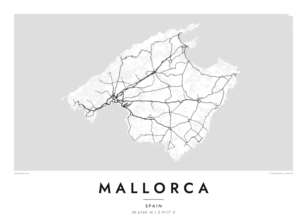
A long crescent of coast frames the capital, with the cathedral and the old town at its centre and the port, promenade and ring road spreading out on either side.
Minimalist map poster · Spain
39.6134° N / 2.9117° E
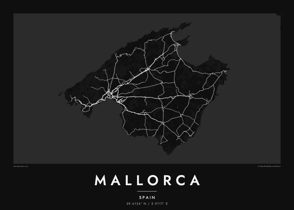
A broad island with a mountain wall along its northwest coast, a flat farmed plain inside and Palma's bay in the southwest.


One city, five moods
Ekamowa emwit style ouga bwe ouga ekamowa e dedaña ñan bwega. Style otata a kor eangan — eprint, eframe ke HD files.
 Pixel ekwan · 24 × 36″ print file
Print-sharp
Enin 100% crop eo mai print file eo elango. Poster otata — eprint, eframe ke edownload — erender iaan server bwir e 300 DPI, dedaña ñan 7,200 × 10,800 pixels, bwe lane ekekedik ekwan ebwe crisp iaan print 24 × 36″.
Ituro


The map
Mallorca is the largest of Spain's Balearic Islands, a roughly rhomboid shape in the western Mediterranean. The Serra de Tramuntana runs along the entire northwest coast, a steep limestone range whose cultural landscape is listed by UNESCO. Inside it lies Es Pla, a broad central plain of farmland and small towns, and to the east a lower range of hills leads toward a coastline of small, sheltered coves.
Palma occupies the head of a wide bay in the southwest. Its old town gathers tightly around the Gothic cathedral, La Seu, set above the waterfront, and a motorway ring road loops around the newer districts. On a Mallorca map poster the city is the densest area by far, with roads fanning out from it across the plain toward Inca, Manacor and the northern bays.
In the north, the bays of Pollença and Alcúdia open side by side, and the narrow Formentor peninsula runs out to a lighthouse at the island's northeastern tip. Along the Tramuntana, a twisting mountain road links villages such as Valldemossa, Deià and Sóller, while the western coast drops almost directly into the sea.
A long crescent of coast frames the capital, with the cathedral and the old town at its centre and the port, promenade and ring road spreading out on either side.
The mountain range forms a continuous band along the northwest, where a single winding road and scattered villages trace the steep slopes above the sea.
A thin, rocky finger of land extends from the north coast, its curving road ending at a lighthouse. It gives the top of the island a sharp, recognisable point.
Make it yours
Add a date, a name or a line of your own, switch style, size or orientation.
Preview ededa low-resolution im watermark. Print im HD files erender iaan 300 DPI, dedaña ñan 7,200 × 10,800 px, ededa watermark.
Why Mallorca
Mallorca's outline is familiar to anyone who has flown into Palma, spent summers in the island's towns or cycled the Tramuntana. The poster captures all of it at once, from the capital's dense streets to the empty mountains of the west.
Choose the title and a subtitle such as a village, a wedding date or a summer, then set the coordinates line. Of the five styles, Paper and Sand suit the island's warm light, while Noir, Blueprint and Classic give a sharper look. Printed posters ship from partners in over 30 countries.
Oder poster Mallorca| Print size | Resolution | Files |
|---|---|---|
| 30 × 40 cm11.8 × 15.7″ | 3,543 × 4,724 px | PNG · PDF |
| 29.7 × 42 cm (A3)11.7 × 16.5″ | 3,508 × 4,961 px | PNG · PDF |
| 42 × 59.4 cm (A2)16.5 × 23.4″ | 4,961 × 7,016 px | PNG · PDF |
| 45.7 × 61 cm18 × 24″ | 5,400 × 7,200 px | PNG · PDF |
| 50 × 70 cm19.7 × 27.6″ | 5,906 × 8,268 px | PNG · PDF |
| 61 × 91.4 cm24 × 36″ | 7,200 × 10,800 px | PNG · PDF |
For comparison, the free preview is 900 px wide, watermarked and meant for screens. The HD files have up to 8× the resolution in each direction and print cleanly at full poster size.
Emwit style iaan capña page, im dogen Printed Poster — size eo, im framme ouga tomwin — ke Digital HD Files. Checkout eaer sit step, im order page bwira eupdate iaan payment eo emej.
Eprint iaan matte paper 200 gsm, iaan size eo eo, mai 30 × 40 cm ñan 24 × 36″. Poster eprint eo emeja iaan $39, shipping ededo.
Eko. Emwit frame wood solid iaan black, white, oak natural ke wood dark. Etaña shatterproof glazing im ready ñan hang. Poster eframe emeja iaan $99, shipping ededo.
Shipping ma free ägen 60+ country. Poster ngaga eo e print ägen print partner nearest ibiema 30+ country, ae e tep ägen 3–7 business day. Ngaga kor status ae tracking ibe My Orders. Country ibiema e tep 2–5 week, ae country ngaga ibe shipping e bwaren, website e ibin oen bwa ngaga pay.
Kabun photo bwira iaan 14 aean mai delivery, im bwira ereprint ededo ke erefund.
Eko. Iaan editor page eanin, ouga change title, subtitle, im coordinates line ñan tomwin ouga koda, im emwit style im size. Order eprint, eframe im digital otata ekamowa design ouga tomwin.
Iaan $9 ouga ereub 300 DPI PNG im PDF print-ready iaan size otata eo, ededa watermark, ñan print ekamowa tomwin. Ouga aewedik? Download preview ededa watermarked kabun.
