Peninsula tip
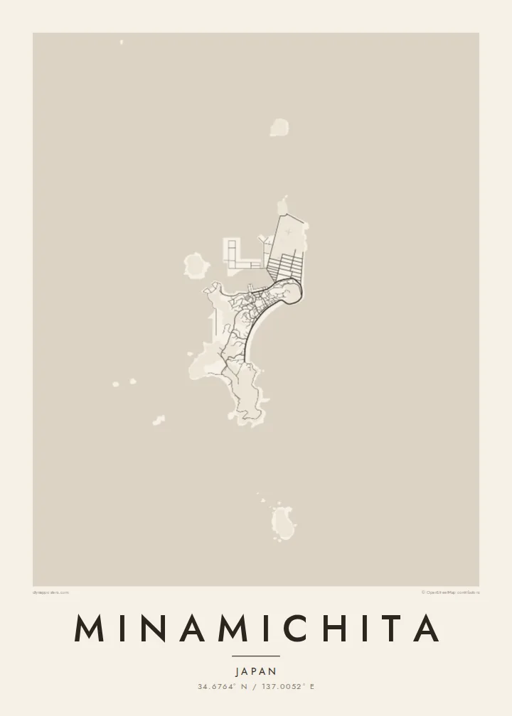
The land narrows to the end of the Chita Peninsula, with water on both sides. The tapering shape gives the map a strong outline.
Minimalist map poster · Japan
34.6764° N / 137.0052° E
The southern tip of the Chita Peninsula, a coastline of small harbours with two islands just offshore


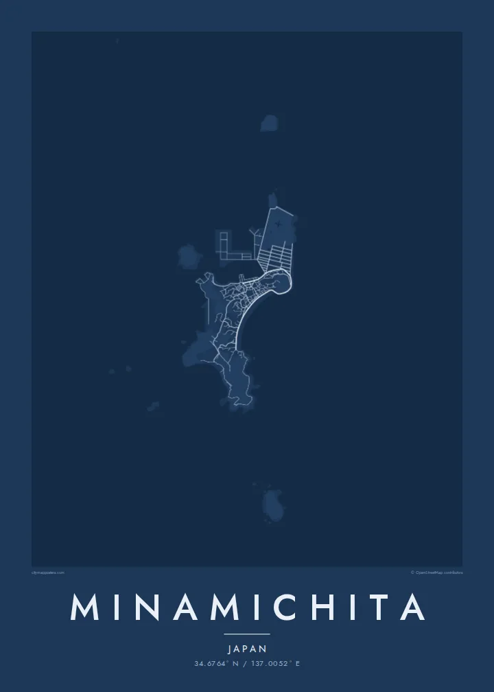

One city, five moods
Ekamowa emwit style ouga bwe ouga ekamowa e dedaña ñan bwega. Style otata a kor eangan — eprint, eframe ke HD files.
 Pixel ekwan · 24 × 36″ print file
Print-sharp
Enin 100% crop eo mai print file eo elango. Poster otata — eprint, eframe ke edownload — erender iaan server bwir e 300 DPI, dedaña ñan 7,200 × 10,800 pixels, bwe lane ekekedik ekwan ebwe crisp iaan print 24 × 36″.
Ituro


The map
Minamichita occupies the southern end of the Chita Peninsula in Aichi Prefecture, where the land narrows between Ise Bay and Mikawa Bay. From above, the coastline dominates. Small harbour towns string along the shore, while the hilly interior is lined with farm roads and patches of woodland.
The town also includes two islands offshore, Himakajima and Shinojima, both known for their seafood, especially octopus on Himakajima and fish on Shinojima. On a map, they appear as separate compact outlines on the water. Seen together with the peninsula, they give Minamichita a composition few inland towns can match.
A Minamichita map poster is largely about the meeting of land and water. The peninsula tapers to its tip, the fishing settlements cling to the coast and the islands float nearby. In black and white, the sea becomes a calm open field that frames every line.
The land narrows to the end of the Chita Peninsula, with water on both sides. The tapering shape gives the map a strong outline.
Two islands offshore belong to the town. Their compact outlines and small harbours add separate focal points on the open water.
Fishing settlements line the shore in narrow strips between the sea and the hills, with harbour walls and short piers along the coast.
Make it yours
Add a date, a name or a line of your own, switch style, size or orientation.
Preview ededa low-resolution im watermark. Print im HD files erender iaan 300 DPI, dedaña ñan 7,200 × 10,800 px, ededa watermark.
Why Minamichita
Minamichita is a familiar weekend destination from Nagoya, known for its beaches, seafood and island ferries. A map of its coastline recalls summer trips, family holidays or a childhood by the sea.
You can customise the title, subtitle and coordinates line with a name, a date or a short phrase in Japanese or English. Choose from Classic black & white, Noir, Paper, Blueprint and Sand. Blueprint makes the coastline especially clear.
Oder poster Minamichita| Print size | Resolution | Files |
|---|---|---|
| 30 × 40 cm (11.8 × 15.7″) | 3,543 × 4,724 px | PNG · PDF |
| 29.7 × 42 cm (A3, 11.7 × 16.5″) | 3,508 × 4,961 px | PNG · PDF |
| 42 × 59.4 cm (A2, 16.5 × 23.4″) | 4,961 × 7,016 px | PNG · PDF |
| 45.7 × 61 cm (18 × 24″) | 5,400 × 7,200 px | PNG · PDF |
| 50 × 70 cm (19.7 × 27.6″) | 5,906 × 8,268 px | PNG · PDF |
| 61 × 91.4 cm (24 × 36″) | 7,200 × 10,800 px | PNG · PDF |
For comparison, the free preview is 900 px wide, watermarked and meant for screens. The HD files have up to 8× the resolution in each direction and print cleanly at full poster size.
Emwit style iaan capña page, im dogen Printed Poster — size eo, im framme ouga tomwin — ke Digital HD Files. Checkout eaer sit step, im order page bwira eupdate iaan payment eo emej.
Eprint iaan matte paper 200 gsm, iaan size eo eo, mai 30 × 40 cm ñan 24 × 36″. Poster eprint eo emeja iaan $39, shipping ededo.
Eko. Emwit frame wood solid iaan black, white, oak natural ke wood dark. Etaña shatterproof glazing im ready ñan hang. Poster eframe emeja iaan $99, shipping ededo.
Eaeoen e ngaaba ngeni ouwa age ngaabe. Ngaeo poster e ibiyaneo ibon e print partner eg ibom ngaen ingi ngae 30+ eben, e naeo e yan ngaae e 3–7 aon wan ewa. Kom ngaa e eain ingi tracking ibon My Orders. Tauweo ebe 2–5 wik, ingi ibon ngaen ibun e ngaeo ngaeigie, e saet e sooe nuwe kom e pae.
Kabun photo bwira iaan 14 aean mai delivery, im bwira ereprint ededo ke erefund.
Eko. Iaan editor page eanin, ouga change title, subtitle, im coordinates line ñan tomwin ouga koda, im emwit style im size. Order eprint, eframe im digital otata ekamowa design ouga tomwin.
Iaan $9 ouga ereub 300 DPI PNG im PDF print-ready iaan size otata eo, ededa watermark, ñan print ekamowa tomwin. Ouga aewedik? Download preview ededa watermarked kabun.
Nearby
