Highway 307
The main road runs a short way inland, almost parallel to the coast. It is a single strong line with short spurs leading down to the beaches and resorts.
Minimalist map poster · Mexico
20.5805° N / 87.1175° W
A long Caribbean shoreline of beaches and reef, running south from Cancún with one highway parallel to the sea


One city, five moods
Ekamowa emwit style ouga bwe ouga ekamowa e dedaña ñan bwega. Style otata a kor eangan — eprint, eframe ke HD files.
 Pixel ekwan · 24 × 36″ print file
Print-sharp
Enin 100% crop eo mai print file eo elango. Poster otata — eprint, eframe ke edownload — erender iaan server bwir e 300 DPI, dedaña ñan 7,200 × 10,800 pixels, bwe lane ekekedik ekwan ebwe crisp iaan print 24 × 36″.
Ituro


The map
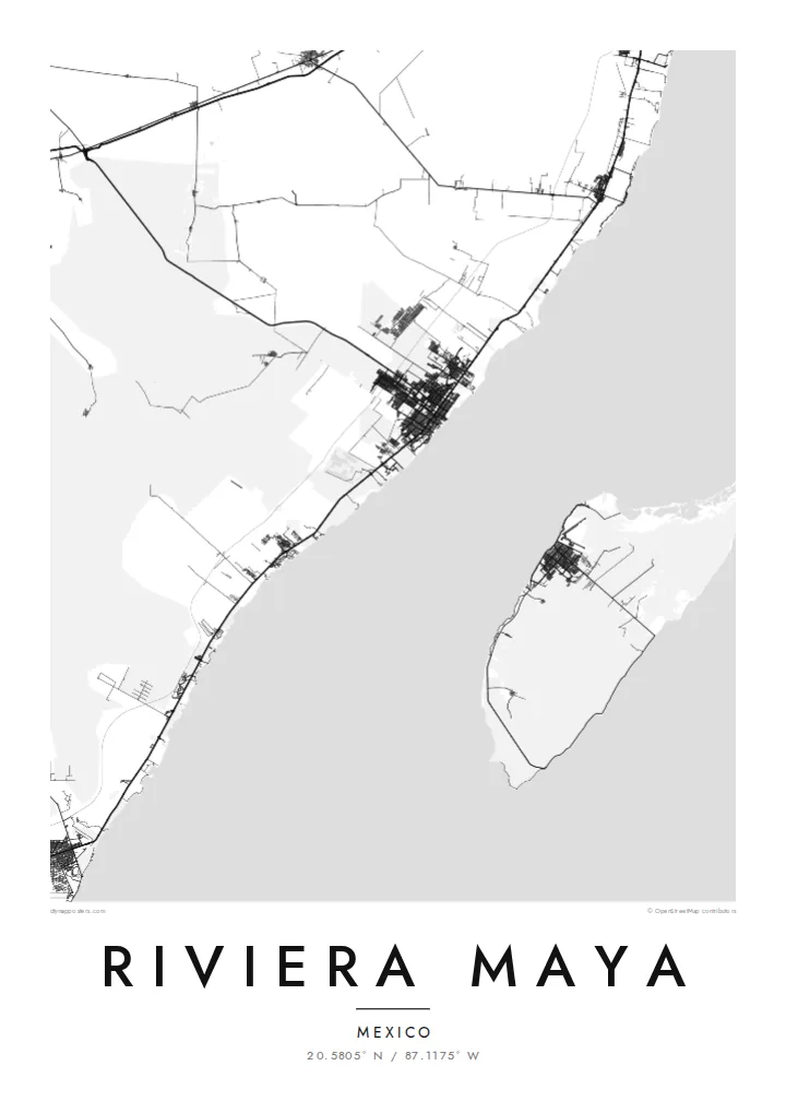
The Riviera Maya follows the Caribbean coast of the Mexican state of Quintana Roo, usually counted from just south of Cancún down to Tulum and beyond. The land here is flat limestone with almost no rivers on the surface, so the map looks strikingly simple: a long, gently curving coastline, with Federal Highway 307 running a little inland and almost parallel to it.
The water moves underground instead, through large cave systems that open up as cenotes, sinkholes scattered through the forest. Offshore, the Mesoamerican Barrier Reef follows the coast, and the island of Cozumel lies across a channel from Playa del Carmen. At Tulum, the ruins of a walled Maya city stand on a cliff directly above the sea.
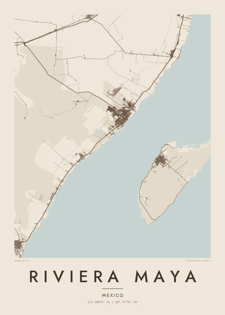
A Riviera Maya map poster captures this linear structure. Playa del Carmen's street grid spreads out from the ferry pier, access roads to the resorts branch toward the beaches like the teeth of a comb, and lagoons and small bays break the shoreline here and there. Where the frame reaches it, Cozumel appears as a large shape offshore.
The main road runs a short way inland, almost parallel to the coast. It is a single strong line with short spurs leading down to the beaches and resorts.
The walled Maya site sits on a low cliff above the Caribbean, a small enclosure on the shore to the east of the modern town.
Across a strait from Playa del Carmen lies Cozumel, Mexico's largest Caribbean island, with its town of San Miguel facing the mainland.
Make it yours
Add a date, a name or a line of your own, switch style, size or orientation.
Preview ededa low-resolution im watermark. Print im HD files erender iaan 300 DPI, dedaña ñan 7,200 × 10,800 px, ededa watermark.
Why Riviera Maya
Many couples marry on these beaches, and many travellers return to the same stretch of sand year after year. Put names in the title and the date in the subtitle, and move the coordinates to the resort, cenote or beach you remember.
Sand and Paper give the coast a soft, sunlit tone, while Blueprint and Noir bring out the clean geometry of road and shore. Classic black & white is also available. The $9 download includes six print sizes, with no watermark.
Oder poster Riviera Maya| Print size | Resolution | Files |
|---|---|---|
| 30 × 40 cm11.8 × 15.7″ | 3,543 × 4,724 px | PNG · PDF |
| 29.7 × 42 cm (A3)11.7 × 16.5″ | 3,508 × 4,961 px | PNG · PDF |
| 42 × 59.4 cm (A2)16.5 × 23.4″ | 4,961 × 7,016 px | PNG · PDF |
| 45.7 × 61 cm18 × 24″ | 5,400 × 7,200 px | PNG · PDF |
| 50 × 70 cm19.7 × 27.6″ | 5,906 × 8,268 px | PNG · PDF |
| 61 × 91.4 cm24 × 36″ | 7,200 × 10,800 px | PNG · PDF |
For comparison, the free preview is 900 px wide, watermarked and meant for screens. The HD files have up to 8× the resolution in each direction and print cleanly at full poster size.
Emwit style iaan capña page, im dogen Printed Poster — size eo, im framme ouga tomwin — ke Digital HD Files. Checkout eaer sit step, im order page bwira eupdate iaan payment eo emej.
Eprint iaan matte paper 200 gsm, iaan size eo eo, mai 30 × 40 cm ñan 24 × 36″. Poster eprint eo emeja iaan $39, shipping ededo.
Eko. Emwit frame wood solid iaan black, white, oak natural ke wood dark. Etaña shatterproof glazing im ready ñan hang. Poster eframe emeja iaan $99, shipping ededo.
Shipping ma free ägen 60+ country. Poster ngaga eo e print ägen print partner nearest ibiema 30+ country, ae e tep ägen 3–7 business day. Ngaga kor status ae tracking ibe My Orders. Country ibiema e tep 2–5 week, ae country ngaga ibe shipping e bwaren, website e ibin oen bwa ngaga pay.
Kabun photo bwira iaan 14 aean mai delivery, im bwira ereprint ededo ke erefund.
Eko. Iaan editor page eanin, ouga change title, subtitle, im coordinates line ñan tomwin ouga koda, im emwit style im size. Order eprint, eframe im digital otata ekamowa design ouga tomwin.
Iaan $9 ouga ereub 300 DPI PNG im PDF print-ready iaan size otata eo, ededa watermark, ñan print ekamowa tomwin. Ouga aewedik? Download preview ededa watermarked kabun.
