Republic quarters
Each quarter was designed by a different Soviet republic and named after its capital. On the map, they appear as separate clusters, each with a distinct layout.
Minimalist map poster · Ukraine
51.5225° N / 30.7181° E
A planned 1980s town in a pine forest by the Dnieper, laid out in quarters designed by different Soviet republics




One city, five moods
Ekamowa emwit style ouga bwe ouga ekamowa e dedaña ñan bwega. Style otata a kor eangan — eprint, eframe ke HD files.
 Pixel ekwan · 24 × 36″ print file
Print-sharp
Enin 100% crop eo mai print file eo elango. Poster otata — eprint, eframe ke edownload — erender iaan server bwir e 300 DPI, dedaña ñan 7,200 × 10,800 pixels, bwe lane ekekedik ekwan ebwe crisp iaan print 24 × 36″.
Ituro


The map
Slavutych was built after the 1986 Chernobyl disaster to house workers of the nuclear plant, who had to leave Pripyat. From above, it is one of the most deliberately planned towns in Europe. Distinct neighbourhoods surround a central square and park, the whole town sits within pine forest, and a railway line links it to the plant.
Its quarters were designed and built by teams from different Soviet republics and carry the names of their capitals, such as Kyiv, Tbilisi, Vilnius and Riga. Each has its own architectural style. The town lies on the left bank of the Dnieper, and although it is part of Kyiv Oblast, the land around it borders Chernihiv Oblast.
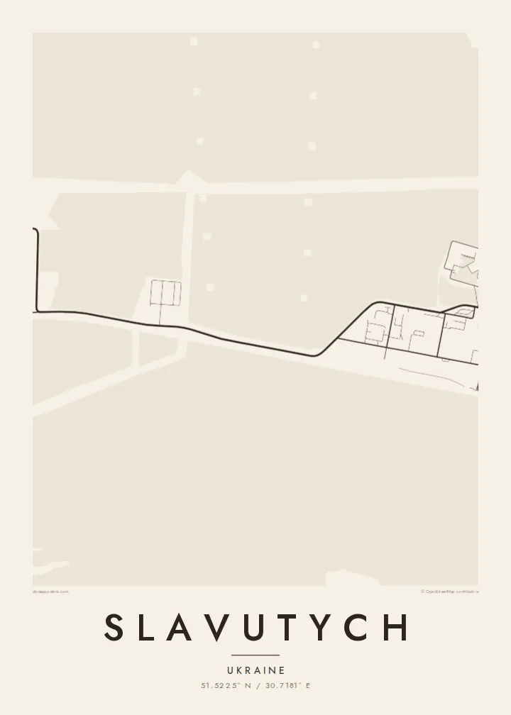
A Slavutych map poster shows how clearly this planning survives. The separate quarters form distinct clusters, each with its own street pattern, joined by green belts and wide avenues. In black and white, the surrounding forest becomes a calm field that frames the town. It is an unusual and meaningful map for anyone connected to Chernobyl's story.
Each quarter was designed by a different Soviet republic and named after its capital. On the map, they appear as separate clusters, each with a distinct layout.
The quarters are arranged around a central square and park, giving the town a clear heart. That is rare for a place so recently built.
Pine forest surrounds the whole town and leaves a wide margin between buildings and open country. The town appears as a compact island within that green belt.
Make it yours
Add a date, a name or a line of your own, switch style, size or orientation.
Preview ededa low-resolution im watermark. Print im HD files erender iaan 300 DPI, dedaña ñan 7,200 × 10,800 px, ededa watermark.
Why Slavutych
Slavutych is home to many former Chernobyl plant workers and their families, and for them the town's shape carries real weight. The map also interests people who study Soviet urban planning or the history of 1986.
You can personalise the title, subtitle and coordinates line, and choose Classic black & white, Noir, Paper, Blueprint or Sand. Blueprint suits a town that began as a plan. The files arrive as 300 DPI PNG and print-ready PDF in six sizes.
Oder poster Slavutych| Print size | Resolution | Files |
|---|---|---|
| 30 × 40 cm11.8 × 15.7″ | 3,543 × 4,724 px | PNG · PDF |
| 29.7 × 42 cm (A3)11.7 × 16.5″ | 3,508 × 4,961 px | PNG · PDF |
| 42 × 59.4 cm (A2)16.5 × 23.4″ | 4,961 × 7,016 px | PNG · PDF |
| 45.7 × 61 cm18 × 24″ | 5,400 × 7,200 px | PNG · PDF |
| 50 × 70 cm19.7 × 27.6″ | 5,906 × 8,268 px | PNG · PDF |
| 61 × 91.4 cm24 × 36″ | 7,200 × 10,800 px | PNG · PDF |
For comparison, the free preview is 900 px wide, watermarked and meant for screens. The HD files have up to 8× the resolution in each direction and print cleanly at full poster size.
Emwit style iaan capña page, im dogen Printed Poster — size eo, im framme ouga tomwin — ke Digital HD Files. Checkout eaer sit step, im order page bwira eupdate iaan payment eo emej.
Eprint iaan matte paper 200 gsm, iaan size eo eo, mai 30 × 40 cm ñan 24 × 36″. Poster eprint eo emeja iaan $39, shipping ededo.
Eko. Emwit frame wood solid iaan black, white, oak natural ke wood dark. Etaña shatterproof glazing im ready ñan hang. Poster eframe emeja iaan $99, shipping ededo.
Shipping ma free ägen 60+ country. Poster ngaga eo e print ägen print partner nearest ibiema 30+ country, ae e tep ägen 3–7 business day. Ngaga kor status ae tracking ibe My Orders. Country ibiema e tep 2–5 week, ae country ngaga ibe shipping e bwaren, website e ibin oen bwa ngaga pay.
Kabun photo bwira iaan 14 aean mai delivery, im bwira ereprint ededo ke erefund.
Eko. Iaan editor page eanin, ouga change title, subtitle, im coordinates line ñan tomwin ouga koda, im emwit style im size. Order eprint, eframe im digital otata ekamowa design ouga tomwin.
Iaan $9 ouga ereub 300 DPI PNG im PDF print-ready iaan size otata eo, ededa watermark, ñan print ekamowa tomwin. Ouga aewedik? Download preview ededa watermarked kabun.
