Three rivers
The Yakima and Snake both join the Columbia here. The result is a broad, branching water shape at the centre of the map.
Minimalist map poster · United States
46.2454° N / 119.1962° W
Three cities meeting where the Columbia, Snake and Yakima rivers converge in the dry plains of eastern Washington.



One city, five moods
Ekamowa emwit style ouga bwe ouga ekamowa e dedaña ñan bwega. Style otata a kor eangan — eprint, eframe ke HD files.
 Pixel ekwan · 24 × 36″ print file
Print-sharp
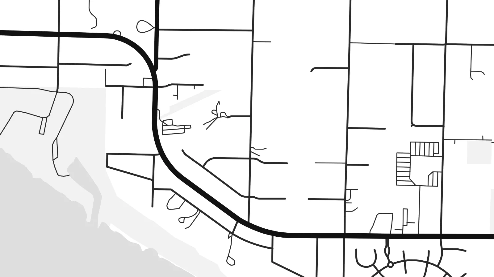
Enin 100% crop eo mai print file eo elango. Poster otata — eprint, eframe ke edownload — erender iaan server bwir e 300 DPI, dedaña ñan 7,200 × 10,800 pixels, bwe lane ekekedik ekwan ebwe crisp iaan print 24 × 36″.
Ituro


The map
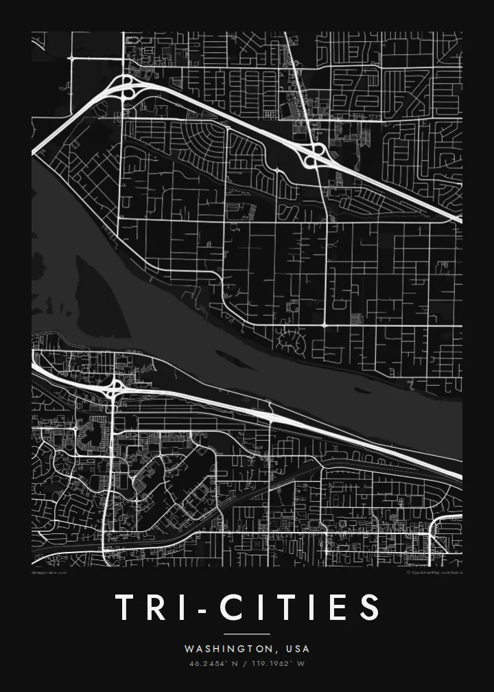
The Tri-Cities are Richland, Kennewick and Pasco, which grew up around a meeting of rivers. The Yakima flows into the Columbia near Richland, and the Snake joins it just east of Pasco. On a map, the broad Columbia curves between the three cities. Bridges tie them together across the water, and irrigated farmland and dry steppe surround the built-up area.
The area's modern growth is tied to the Hanford Site north of Richland. Plutonium was produced there during the Second World War and the Cold War. Much of Richland was built as a government town for its workers. Today the region is also known for the Pacific Northwest National Laboratory and the vineyards of the Columbia Valley.
A Tri-Cities map poster brings three distinct street plans into one frame. Richland's planned layout sits to the north, Kennewick's wider grid spreads south of the river, and Pasco lies on the far bank. The rivers pull them together. In black and white, the converging water forms a clear central shape.
The Yakima and Snake both join the Columbia here. The result is a broad, branching water shape at the centre of the map.
Several bridges cross the Columbia, linking Kennewick and Pasco and tying the three cities into one urban area.
Built largely as a government town for Hanford workers, Richland's streets were laid out deliberately. They contrast with the looser growth of its neighbours.
Make it yours
Add a date, a name or a line of your own, switch style, size or orientation.
Preview ededa low-resolution im watermark. Print im HD files erender iaan 300 DPI, dedaña ñan 7,200 × 10,800 px, ededa watermark.
Why Tri-Cities
For people who work at the lab, grew up along the Columbia or moved here for the wine country, a Tri-Cities print holds all three places in one image. The rivers make it an especially strong composition.
You can personalise the title, subtitle and coordinates line, perhaps with a single city name or all three. Choose from five styles: Classic black & white, Noir, Paper, Blueprint and Sand. Sizes include 18×24″ and 24×36″, available as $9 HD files or as printed posters.
Oder poster Tri-Cities| Print size | Resolution | Files |
|---|---|---|
| 30 × 40 cm (11.8 × 15.7″) | 3,543 × 4,724 px | PNG · PDF |
| 29.7 × 42 cm (A3, 11.7 × 16.5″) | 3,508 × 4,961 px | PNG · PDF |
| 42 × 59.4 cm (A2, 16.5 × 23.4″) | 4,961 × 7,016 px | PNG · PDF |
| 45.7 × 61 cm (18 × 24″) | 5,400 × 7,200 px | PNG · PDF |
| 50 × 70 cm (19.7 × 27.6″) | 5,906 × 8,268 px | PNG · PDF |
| 61 × 91.4 cm (24 × 36″) | 7,200 × 10,800 px | PNG · PDF |
For comparison, the free preview is 900 px wide, watermarked and meant for screens. The HD files have up to 8× the resolution in each direction and print cleanly at full poster size.
Emwit style iaan capña page, im dogen Printed Poster — size eo, im framme ouga tomwin — ke Digital HD Files. Checkout eaer sit step, im order page bwira eupdate iaan payment eo emej.
Eprint iaan matte paper 200 gsm, iaan size eo eo, mai 30 × 40 cm ñan 24 × 36″. Poster eprint eo emeja iaan $39, shipping ededo.
Eko. Emwit frame wood solid iaan black, white, oak natural ke wood dark. Etaña shatterproof glazing im ready ñan hang. Poster eframe emeja iaan $99, shipping ededo.
Eaeoen e ngaaba ngeni ouwa age ngaabe. Ngaeo poster e ibiyaneo ibon e print partner eg ibom ngaen ingi ngae 30+ eben, e naeo e yan ngaae e 3–7 aon wan ewa. Kom ngaa e eain ingi tracking ibon My Orders. Tauweo ebe 2–5 wik, ingi ibon ngaen ibun e ngaeo ngaeigie, e saet e sooe nuwe kom e pae.
Kabun photo bwira iaan 14 aean mai delivery, im bwira ereprint ededo ke erefund.
Eko. Iaan editor page eanin, ouga change title, subtitle, im coordinates line ñan tomwin ouga koda, im emwit style im size. Order eprint, eframe im digital otata ekamowa design ouga tomwin.
Iaan $9 ouga ereub 300 DPI PNG im PDF print-ready iaan size otata eo, ededa watermark, ñan print ekamowa tomwin. Ouga aewedik? Download preview ededa watermarked kabun.
