The river's bend
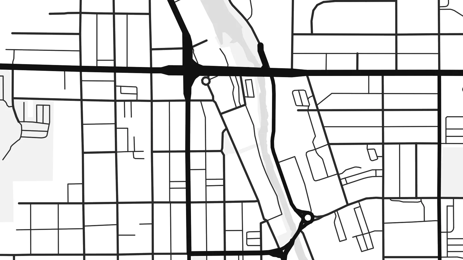
The Milwaukee River curves through the city centre, giving the map a clear flowing line that explains the name at a glance.
Minimalist map poster · United States
43.4253° N / 88.1834° W
A Wisconsin river city where the Milwaukee River makes its namesake bend through downtown, surrounded by lakes, parks and glacial hills.


One city, five moods
Ekamowa emwit style ouga bwe ouga ekamowa e dedaña ñan bwega. Style otata a kor eangan — eprint, eframe ke HD files.
 Pixel ekwan · 24 × 36″ print file
Print-sharp
Enin 100% crop eo mai print file eo elango. Poster otata — eprint, eframe ke edownload — erender iaan server bwir e 300 DPI, dedaña ñan 7,200 × 10,800 pixels, bwe lane ekekedik ekwan ebwe crisp iaan print 24 × 36″.
Ituro


The map
West Bend is the county seat of Washington County, Wisconsin, about forty miles north of Milwaukee. The Milwaukee River winds through the city, and the bend it makes here gave the place its name. On a map, the river is the organising line: downtown streets sit close to its banks, and green corridors follow its course north and south through town.
Around the historic centre, the street pattern shifts from an older grid to curving postwar subdivisions and larger commercial roads. Small lakes and ponds dot the edges, and to the west the land rises into the rolling glacial terrain of the Kettle Moraine. A highway bypass forms a firm straight edge, framing the older town inside it.
West Bend is known for the West Bend Company, the cookware and appliance maker founded here in 1911, and for nearby Lizard Mound County Park, which preserves Native American effigy mounds. A West Bend map poster captures the river's curve, the grid beside it and the wooded, lake-dotted country around the city.
The Milwaukee River curves through the city centre, giving the map a clear flowing line that explains the name at a glance.
Green space follows the riverbanks for long stretches, leaving open bands through the street network that add rhythm to the print.
West of the city, glacial hills, kettle lakes and winding rural roads replace the grid, softening the edges of the composition.
Make it yours
Add a date, a name or a line of your own, switch style, size or orientation.
Preview ededa low-resolution im watermark. Print im HD files erender iaan 300 DPI, dedaña ñan 7,200 × 10,800 px, ededa watermark.
Why West Bend
Whether you grew up along the Milwaukee River or bought a first house in one of West Bend's neighbourhoods, a map of the city marks something specific. It also makes a thoughtful housewarming or graduation gift.
Add a street name, a family name or a year to the title and subtitle, and choose Classic black & white, Noir, Paper, Blueprint or Sand. The $9 digital files include 18×24″ and 24×36″ for standard US frames.
Oder poster West Bend| Print size | Resolution | Files |
|---|---|---|
| 30 × 40 cm11.8 × 15.7″ | 3,543 × 4,724 px | PNG · PDF |
| 29.7 × 42 cm (A3)11.7 × 16.5″ | 3,508 × 4,961 px | PNG · PDF |
| 42 × 59.4 cm (A2)16.5 × 23.4″ | 4,961 × 7,016 px | PNG · PDF |
| 45.7 × 61 cm18 × 24″ | 5,400 × 7,200 px | PNG · PDF |
| 50 × 70 cm19.7 × 27.6″ | 5,906 × 8,268 px | PNG · PDF |
| 61 × 91.4 cm24 × 36″ | 7,200 × 10,800 px | PNG · PDF |
For comparison, the free preview is 900 px wide, watermarked and meant for screens. The HD files have up to 8× the resolution in each direction and print cleanly at full poster size.
Emwit style iaan capña page, im dogen Printed Poster — size eo, im framme ouga tomwin — ke Digital HD Files. Checkout eaer sit step, im order page bwira eupdate iaan payment eo emej.
Eprint iaan matte paper 200 gsm, iaan size eo eo, mai 30 × 40 cm ñan 24 × 36″. Poster eprint eo emeja iaan $39, shipping ededo.
Eko. Emwit frame wood solid iaan black, white, oak natural ke wood dark. Etaña shatterproof glazing im ready ñan hang. Poster eframe emeja iaan $99, shipping ededo.
Shipping ma free ägen 60+ country. Poster ngaga eo e print ägen print partner nearest ibiema 30+ country, ae e tep ägen 3–7 business day. Ngaga kor status ae tracking ibe My Orders. Country ibiema e tep 2–5 week, ae country ngaga ibe shipping e bwaren, website e ibin oen bwa ngaga pay.
Kabun photo bwira iaan 14 aean mai delivery, im bwira ereprint ededo ke erefund.
Eko. Iaan editor page eanin, ouga change title, subtitle, im coordinates line ñan tomwin ouga koda, im emwit style im size. Order eprint, eframe im digital otata ekamowa design ouga tomwin.
Iaan $9 ouga ereub 300 DPI PNG im PDF print-ready iaan size otata eo, ededa watermark, ñan print ekamowa tomwin. Ouga aewedik? Download preview ededa watermarked kabun.
