Akashi Kaikyō Bridge
The bridge from the northern tip toward Kobe is a single, confident line across open water. It is the most striking crossing drawn anywhere on the island's maps.
Fakatino mape mukamuka · Japan
34.4777° N / 134.9307° E
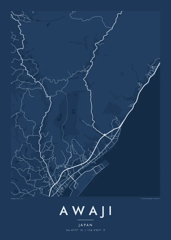
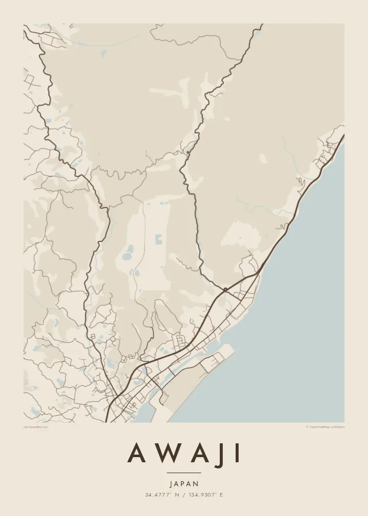
The heart of Awaji Island, with sea on two sides, farmed hills in between and a great suspension bridge reaching toward Kobe.


Taha e taone, lima e onoonoaga
Tapaki e taha puhala ke kitia ai ki luga he puipui. Kua tatai e totogi he tau puhala oti — pete he lolomi, poloka, po ke faila HD.
 Tau pikselo mooli · faila lolomi 24 × 36″
Maama mitaki ke lolomi
Ko e 100% e fahi mooli mai he faila lolomi. Ko e tau poster oti — pete kua lolomi, poloka, po ke utu hifo — kua taute ke he ha mautolu a tau tokoluga (server) ke he 300 DPI, hokotia ke he 7,200 × 10,800 piksela, ke maeke ai e tau ala ikiiki tote ke maaliali fakamitaki he lolomi 24 × 36″.
He Pā


Ko e mape
Awaji city covers much of the northern and central part of Awaji Island, in Hyōgo Prefecture, between Osaka Bay and the Harima Sea. From above, the coast shapes everything. Small harbour towns line both shores, and a spine of low hills in the middle is covered in fields, reservoirs and winding farm roads. The main towns sit wherever the shore flattens out.
At the northern tip, the Akashi Kaikyō Bridge crosses the strait to Kobe. For many years it had the longest central span of any suspension bridge in the world. The island is also where the Nojima Fault broke the surface in the 1995 Great Hanshin earthquake, and part of the rupture is preserved at a memorial museum near the western coast.
Awaji also has a place in Japanese mythology. Old tradition names it as the first land created by the gods Izanagi and Izanami, and a major shrine to Izanagi stands inland. An Awaji map poster brings together deep myth and modern engineering, with the coastline wrapped around quiet agricultural hills.
The bridge from the northern tip toward Kobe is a single, confident line across open water. It is the most striking crossing drawn anywhere on the island's maps.
The Osaka Bay shore and the Harima Sea shore frame the city on either side. Each has its own chain of small ports and coastal roads.
The inland hills are scattered with small irrigation ponds. These old farming reservoirs show up as dozens of pale, irregular shapes among the rural roads.
Taute ke ha hau
Lafi e aho, taha higoa po ke taha kupu haau, hiki e fakatino, lahi po ke tuaga.
Ko e kitiaaga nakai totogi kua tote e maaliali mo e fakamailoga vai. Ko e tau lolomi mo e tau faila HD kua taute ke he 300 DPI, hokotia ke he 7,200 × 10,800 px, nakai fai fakamailoga vai.
Ko e ha Awaji
An island map is naturally complete, with edges drawn by the sea itself. That makes Awaji a strong print for anyone who has crossed the bridge, cycled around the coast or has family roots in one of its harbour towns.
You can add your own title, subtitle and coordinates, and pick Classic black & white, Noir, Paper, Blueprint or Sand. Download the files in six print sizes for $9, or have a matte poster printed by a partner near you, with a wooden frame if you want one.
Talaage e poster Awaji| Lahi he lolomi | Maama | Tau faila |
|---|---|---|
| 30 × 40 cm11.8 × 15.7″ | 3,543 × 4,724 px | PNG · PDF |
| 29.7 × 42 cm (A3)11.7 × 16.5″ | 3,508 × 4,961 px | PNG · PDF |
| 42 × 59.4 cm (A2)16.5 × 23.4″ | 4,961 × 7,016 px | PNG · PDF |
| 45.7 × 61 cm18 × 24″ | 5,400 × 7,200 px | PNG · PDF |
| 50 × 70 cm19.7 × 27.6″ | 5,906 × 8,268 px | PNG · PDF |
| 61 × 91.4 cm24 × 36″ | 7,200 × 10,800 px | PNG · PDF |
Ke fakatatai, ko e fakatino noa kua 900 px e laulahi, fai fakamailoga mo e mo e tau mata komipiuta ni. Ko e tau faila HD kua ato hoko ke he 8× e maama ke he tau faahi takitaha mo e lolomi mitaki he lahi katoa he fakatino.
Fifili e taha puhala i luga he kupega, ti fifili e Poster Lolomi — e lahi mo e, kaeke ke manako ai koe, taha poloka — po ke Tau Faila HD Fakaeletonika. Ko e fakaotiaga totogi ko e taha gahua ni, ti ko e kupega he hau a talaaga ka fakafou fakahaga i mua he fakaotiaga e totogi.
Kua lolomi ai ke he pepa mitaki 200 gsm matte he taha he tau lahi ono, mai he 30 × 40 cm ke hoko ke he 24 × 36″. Kamata e tau poster lolomi mai he $39, kua putoia ai e utaaga.
E. Fifili e poloka akau malolō ke he lanu uli, tea, akau oki mooli, po ke akau pouli. Kua fakalataha mo e sioga malolō nakai malepe ti kua mautali ke tautau. Kamata e tau poster poloka mai he $99, kua putoia ai e utaaga.
Nakai totogi e fakafano ke he motu 60+. Ko e fakatino taha kua lolomi he fenoga lolomi ha mautolu kua tata mo e tau motu 30+, kua hoko mai he tau aho gahua 3–7. Maeke ia koe ke kikite e tuaga mo e fakamuitua he lalo he Haku Tau Fakatonu. Ke he falu motu kua 2–5 e tau tapu, ti ka nakai fakafano a mautolu ki ai, to fakaha he api tupe ia ki mua he totogi.
Fakafano mai e taha ata ki a mautolu he loto he 14 e tau aho tali mai he hokoaga, ti to lolomi foki e mautolu nakai totogi po ke liu atu e totogi ki a koe.
E. He editor i luga he kupega nei, hikihiki e matakupu, e matakupu lalo mo e laini coordinates ke he taha mena kua manako a koe ki ai, ti fifili e puhala mo e lahi. Ko e tau talaaga lolomi, poloka mo e fakaeletonika oti kua fakaaoga tonu e hau a fakatino.
Ma e $9 ka moua e koe e tau faila PNG 300 DPI mo e PDF kua mautali ke lolomi he tau lahi ono oti, nakai fai fakamailoga vai, ke lolomi i fe mena. Nakai maopoopo agaia? Utu hifo fakamua e kitiaaga nakai totogi ne fai fakamailoga vai.
Tata mai
