Museum Island
At the northern end of an island in the Spree, a cluster of five museums forms a UNESCO World Heritage site, and on the map the river divides neatly to hold it.
Fakatino mape mukamuka · Germany
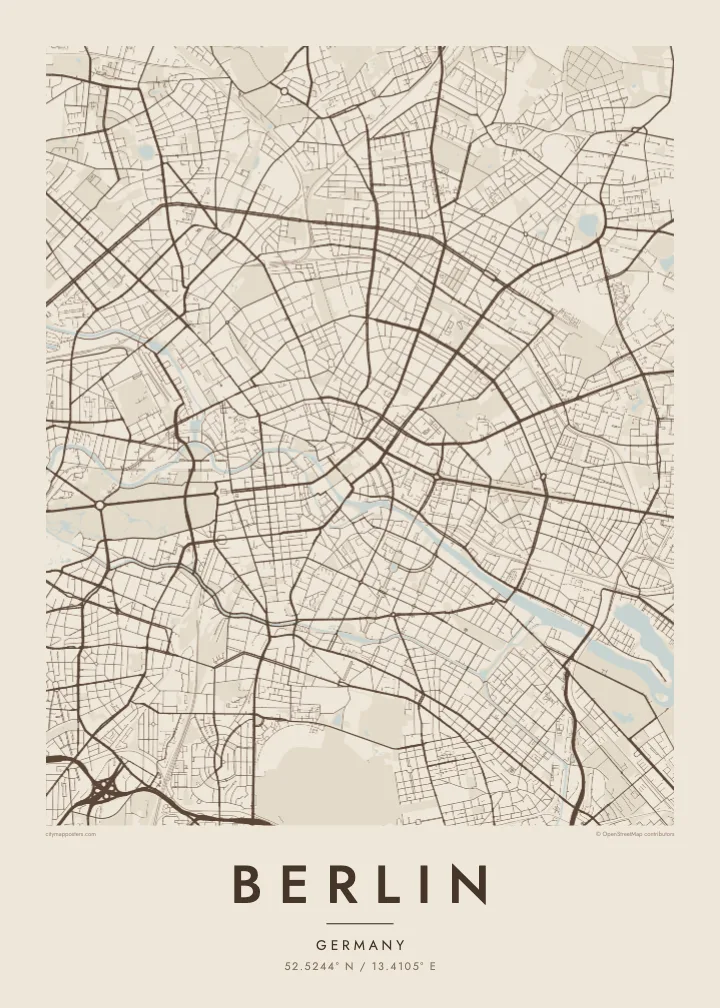
52.5244° N / 13.4105° E
A sprawling city of lakes and forests, threaded by the slow Spree, its centre held inside the circle of the Ringbahn.
Taha e taone, lima e onoonoaga
Tapaki e taha puhala ke kitia ai ki luga he puipui. Kua tatai e totogi he tau puhala oti — pete he lolomi, poloka, po ke faila HD.
 Tau pikselo mooli · faila lolomi 24 × 36″
Maama mitaki ke lolomi
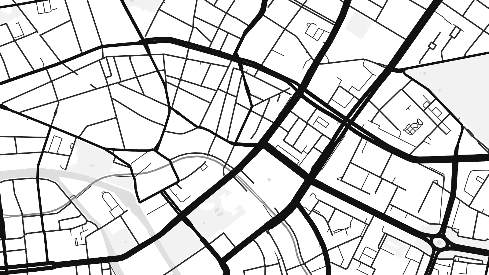
Ko e 100% e fahi mooli mai he faila lolomi. Ko e tau poster oti — pete kua lolomi, poloka, po ke utu hifo — kua taute ke he ha mautolu a tau tokoluga (server) ke he 300 DPI, hokotia ke he 7,200 × 10,800 piksela, ke maeke ai e tau ala ikiiki tote ke maaliali fakamitaki he lolomi 24 × 36″.
He Pā


Ko e mape
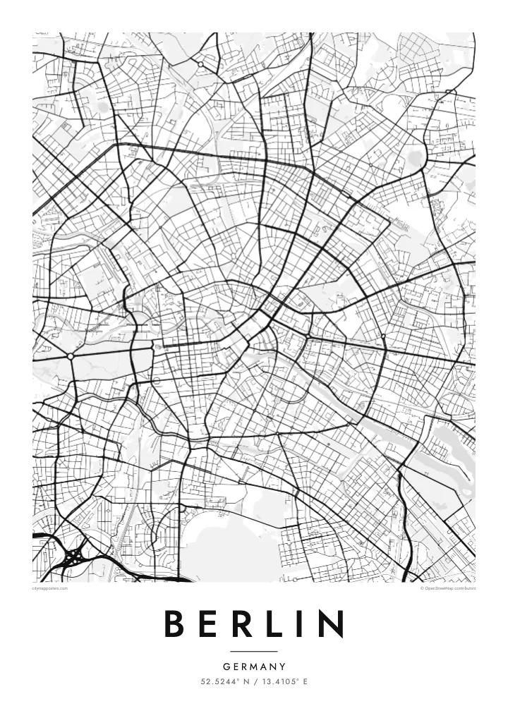
Berlin is large, spread out and surprisingly green. The street map shows a city assembled from many towns and villages, formally merged into Greater Berlin in 1920, so rather than one historic core there are several, each with its own knot of streets. Between them run broad avenues, rail corridors and wide open spaces that give the map room to breathe.
The Spree winds through the middle, splitting around Museum Island before continuing west past the government quarter and the Tiergarten, the great park that stretches from the Brandenburg Gate. Beyond the western districts the Havel widens into a chain of lakes including the Wannsee, and to the southeast the Müggelsee sits among forest. Water and woodland frame the city on almost every side.
The Berlin Wall divided the city from 1961 to 1989, and although it has largely vanished, its line still shows in places as a strip of parks, gaps and abrupt changes in street pattern. Around the centre, the Ringbahn traces a loop locals compare to a dog's head. A Berlin map poster holds all of it: divided history, open fields and quiet water.
At the northern end of an island in the Spree, a cluster of five museums forms a UNESCO World Heritage site, and on the map the river divides neatly to hold it.
Tempelhof Airport closed in 2008 and its airfield became a public park, leaving a vast open space in the south of the inner city with the outline of its two runways still visible.
Berlin's central park runs west from the Brandenburg Gate, cut straight through by the Straße des 17. Juni, with the Victory Column rising from the Großer Stern roundabout at its middle.
Taute ke ha hau
Lafi e aho, taha higoa po ke taha kupu haau, hiki e fakatino, lahi po ke tuaga.
Ko e kitiaaga nakai totogi kua tote e maaliali mo e fakamailoga vai. Ko e tau lolomi mo e tau faila HD kua taute ke he 300 DPI, hokotia ke he 7,200 × 10,800 px, nakai fai fakamailoga vai.
Ko e ha Berlin
Berlin attracts people who stay longer than they planned. A map of the city suits anyone who moved there for a year and lingered for ten, who remembers it before the rents rose, or whose family story runs along one side of the old wall or the other.
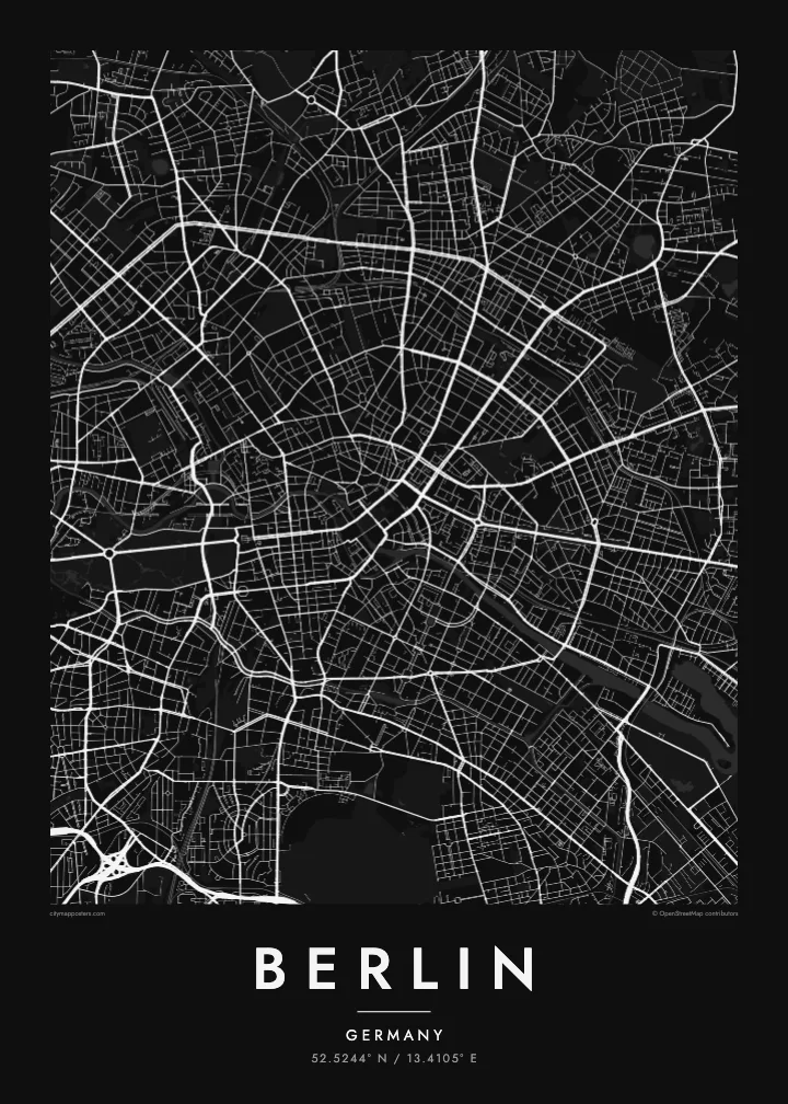
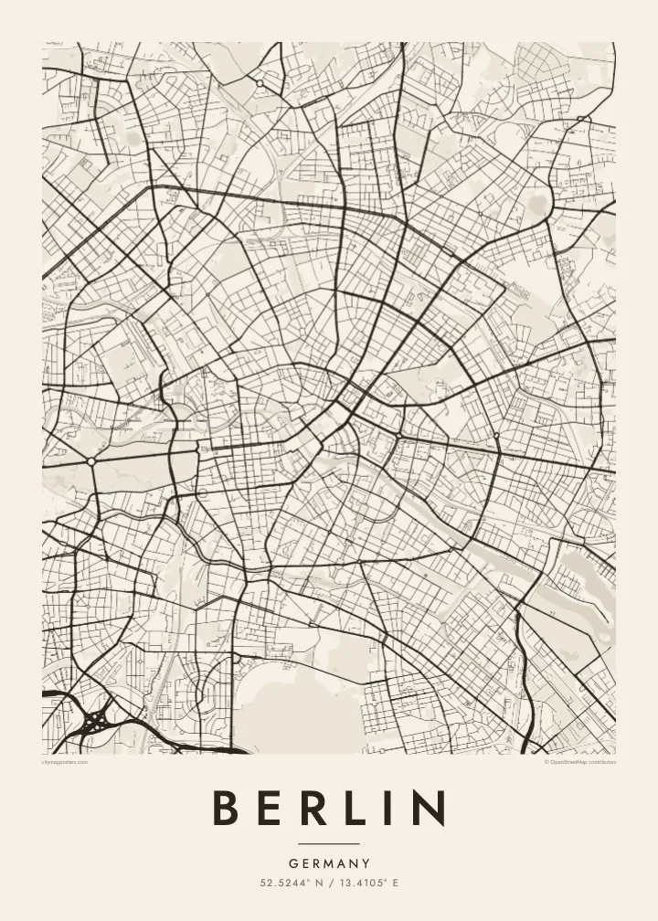
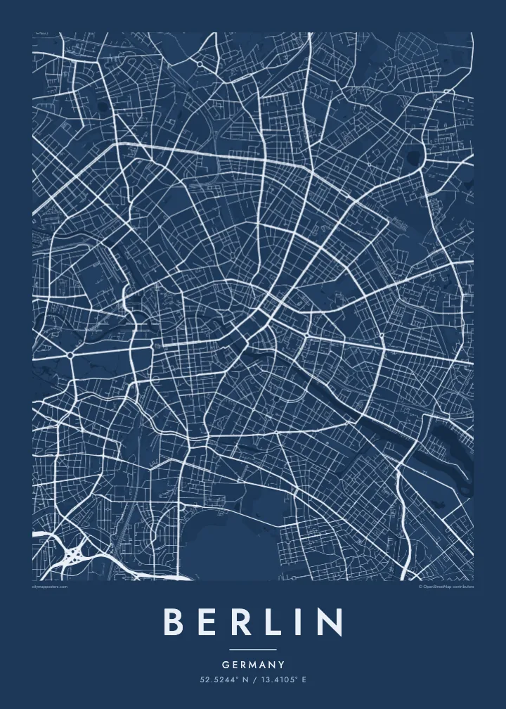
Add a title and date that mean something to you, a neighbourhood, a street or a year, and choose from five styles: Classic black & white, Noir, Paper, Blueprint or Sand. Noir suits Berlin's long nights, while Paper brings out the soft outlines of its lakes and parks.
Talaage e poster Berlin| Lahi he lolomi | Maama | Tau faila |
|---|---|---|
| 30 × 40 cm11.8 × 15.7″ | 3,543 × 4,724 px | PNG · PDF |
| 29.7 × 42 cm (A3)11.7 × 16.5″ | 3,508 × 4,961 px | PNG · PDF |
| 42 × 59.4 cm (A2)16.5 × 23.4″ | 4,961 × 7,016 px | PNG · PDF |
| 45.7 × 61 cm18 × 24″ | 5,400 × 7,200 px | PNG · PDF |
| 50 × 70 cm19.7 × 27.6″ | 5,906 × 8,268 px | PNG · PDF |
| 61 × 91.4 cm24 × 36″ | 7,200 × 10,800 px | PNG · PDF |
Ke fakatatai, ko e fakatino noa kua 900 px e laulahi, fai fakamailoga mo e mo e tau mata komipiuta ni. Ko e tau faila HD kua ato hoko ke he 8× e maama ke he tau faahi takitaha mo e lolomi mitaki he lahi katoa he fakatino.
Fifili e taha puhala i luga he kupega, ti fifili e Poster Lolomi — e lahi mo e, kaeke ke manako ai koe, taha poloka — po ke Tau Faila HD Fakaeletonika. Ko e fakaotiaga totogi ko e taha gahua ni, ti ko e kupega he hau a talaaga ka fakafou fakahaga i mua he fakaotiaga e totogi.
Kua lolomi ai ke he pepa mitaki 200 gsm matte he taha he tau lahi ono, mai he 30 × 40 cm ke hoko ke he 24 × 36″. Kamata e tau poster lolomi mai he $39, kua putoia ai e utaaga.
E. Fifili e poloka akau malolō ke he lanu uli, tea, akau oki mooli, po ke akau pouli. Kua fakalataha mo e sioga malolō nakai malepe ti kua mautali ke tautau. Kamata e tau poster poloka mai he $99, kua putoia ai e utaaga.
Nakai totogi e fakafano ke he motu 60+. Ko e fakatino taha kua lolomi he fenoga lolomi ha mautolu kua tata mo e tau motu 30+, kua hoko mai he tau aho gahua 3–7. Maeke ia koe ke kikite e tuaga mo e fakamuitua he lalo he Haku Tau Fakatonu. Ke he falu motu kua 2–5 e tau tapu, ti ka nakai fakafano a mautolu ki ai, to fakaha he api tupe ia ki mua he totogi.
Fakafano mai e taha ata ki a mautolu he loto he 14 e tau aho tali mai he hokoaga, ti to lolomi foki e mautolu nakai totogi po ke liu atu e totogi ki a koe.
E. He editor i luga he kupega nei, hikihiki e matakupu, e matakupu lalo mo e laini coordinates ke he taha mena kua manako a koe ki ai, ti fifili e puhala mo e lahi. Ko e tau talaaga lolomi, poloka mo e fakaeletonika oti kua fakaaoga tonu e hau a fakatino.
Ma e $9 ka moua e koe e tau faila PNG 300 DPI mo e PDF kua mautali ke lolomi he tau lahi ono oti, nakai fai fakamailoga vai, ke lolomi i fe mena. Nakai maopoopo agaia? Utu hifo fakamua e kitiaaga nakai totogi ne fai fakamailoga vai.
