Loch-filled east
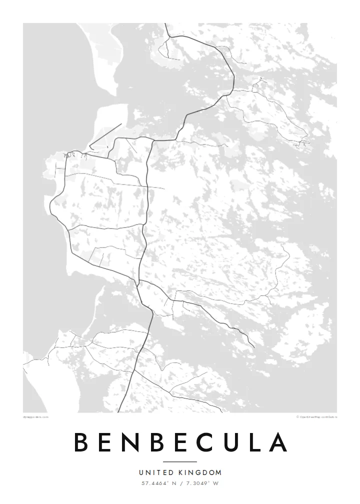
The eastern half of the island dissolves into dozens of lochs and inlets, so the map shows a dense, irregular pattern of water and narrow strips of land.
Fakatino mape mukamuka · United Kingdom
57.4464° N / 7.3049° W
A flat, water-riddled island between North and South Uist, more loch than land in places, joined to both by causeways.


Taha e taone, lima e onoonoaga
Tapaki e taha puhala ke kitia ai ki luga he puipui. Kua tatai e totogi he tau puhala oti — pete he lolomi, poloka, po ke faila HD.
 Tau pikselo mooli · faila lolomi 24 × 36″
Maama mitaki ke lolomi
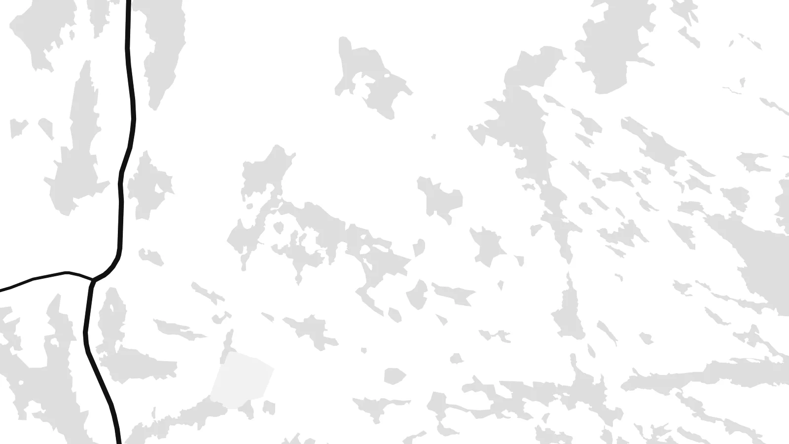
Ko e 100% e fahi mooli mai he faila lolomi. Ko e tau poster oti — pete kua lolomi, poloka, po ke utu hifo — kua taute ke he ha mautolu a tau tokoluga (server) ke he 300 DPI, hokotia ke he 7,200 × 10,800 piksela, ke maeke ai e tau ala ikiiki tote ke maaliali fakamitaki he lolomi 24 × 36″.
He Pā


Ko e mape
Benbecula lies in the Outer Hebrides between North Uist and South Uist and is linked to both by causeways. Seen from above it is remarkably low and flat, and its surface is broken by countless lochs and lochans. This is most striking on the eastern side, where land and water are so intertwined that the shoreline is hard to trace.
The west coast is more open, with machair grassland and long sandy beaches facing the Atlantic. Balivanich, in the northwest, is the main settlement and has the island's airport and a military presence linked to the rocket range on South Uist. In 1746 Charles Edward Stuart sailed from Benbecula to Skye with Flora MacDonald, an episode remembered in the Skye Boat Song.
A Benbecula map poster turns this watery landscape into something close to lace. The lochs fill the sheet with small shapes, the main road runs north to south between the causeways, and the airfield at Balivanich adds a few firm straight lines. Few small islands offer such an intricate composition.
The eastern half of the island dissolves into dozens of lochs and inlets, so the map shows a dense, irregular pattern of water and narrow strips of land.
Causeways at the northern and southern ends carry the road toward North Uist and South Uist, drawing Benbecula into a single chain with its neighbours.
In the northwest, the runways of Benbecula Airport form a crisp geometric pattern beside the village, a rare set of straight lines on this low island.
Taute ke ha hau
Lafi e aho, taha higoa po ke taha kupu haau, hiki e fakatino, lahi po ke tuaga.
Ko e kitiaaga nakai totogi kua tote e maaliali mo e fakamailoga vai. Ko e tau lolomi mo e tau faila HD kua taute ke he 300 DPI, hokotia ke he 7,200 × 10,800 px, nakai fai fakamailoga vai.
Ko e ha Benbecula
Benbecula is loved by people who have lived there, served there or walked its beaches in all weathers. Its map is unusual enough to catch the eye on its own, and it anchors a series of Hebridean island posters well.
Edit the title, put a date or family name in the subtitle, and keep or change the coordinates. Blueprint suits the lochs particularly well, and Classic, Noir, Paper and Sand are also available. Start with the free 900 px watermarked preview, then download the six-size HD set for $9.
Talaage e poster Benbecula| Lahi he lolomi | Maama | Tau faila |
|---|---|---|
| 30 × 40 cm11.8 × 15.7″ | 3,543 × 4,724 px | PNG · PDF |
| 29.7 × 42 cm (A3)11.7 × 16.5″ | 3,508 × 4,961 px | PNG · PDF |
| 42 × 59.4 cm (A2)16.5 × 23.4″ | 4,961 × 7,016 px | PNG · PDF |
| 45.7 × 61 cm18 × 24″ | 5,400 × 7,200 px | PNG · PDF |
| 50 × 70 cm19.7 × 27.6″ | 5,906 × 8,268 px | PNG · PDF |
| 61 × 91.4 cm24 × 36″ | 7,200 × 10,800 px | PNG · PDF |
Ke fakatatai, ko e fakatino noa kua 900 px e laulahi, fai fakamailoga mo e mo e tau mata komipiuta ni. Ko e tau faila HD kua ato hoko ke he 8× e maama ke he tau faahi takitaha mo e lolomi mitaki he lahi katoa he fakatino.
Fifili e taha puhala i luga he kupega, ti fifili e Poster Lolomi — e lahi mo e, kaeke ke manako ai koe, taha poloka — po ke Tau Faila HD Fakaeletonika. Ko e fakaotiaga totogi ko e taha gahua ni, ti ko e kupega he hau a talaaga ka fakafou fakahaga i mua he fakaotiaga e totogi.
Kua lolomi ai ke he pepa mitaki 200 gsm matte he taha he tau lahi ono, mai he 30 × 40 cm ke hoko ke he 24 × 36″. Kamata e tau poster lolomi mai he $39, kua putoia ai e utaaga.
E. Fifili e poloka akau malolō ke he lanu uli, tea, akau oki mooli, po ke akau pouli. Kua fakalataha mo e sioga malolō nakai malepe ti kua mautali ke tautau. Kamata e tau poster poloka mai he $99, kua putoia ai e utaaga.
Nakai totogi e fakafano ke he motu 60+. Ko e fakatino taha kua lolomi he fenoga lolomi ha mautolu kua tata mo e tau motu 30+, kua hoko mai he tau aho gahua 3–7. Maeke ia koe ke kikite e tuaga mo e fakamuitua he lalo he Haku Tau Fakatonu. Ke he falu motu kua 2–5 e tau tapu, ti ka nakai fakafano a mautolu ki ai, to fakaha he api tupe ia ki mua he totogi.
Fakafano mai e taha ata ki a mautolu he loto he 14 e tau aho tali mai he hokoaga, ti to lolomi foki e mautolu nakai totogi po ke liu atu e totogi ki a koe.
E. He editor i luga he kupega nei, hikihiki e matakupu, e matakupu lalo mo e laini coordinates ke he taha mena kua manako a koe ki ai, ti fifili e puhala mo e lahi. Ko e tau talaaga lolomi, poloka mo e fakaeletonika oti kua fakaaoga tonu e hau a fakatino.
Ma e $9 ka moua e koe e tau faila PNG 300 DPI mo e PDF kua mautali ke lolomi he tau lahi ono oti, nakai fai fakamailoga vai, ke lolomi i fe mena. Nakai maopoopo agaia? Utu hifo fakamua e kitiaaga nakai totogi ne fai fakamailoga vai.
Tata mai
