Curving street plan
Few straight lines appear anywhere in the residential areas. Loops, crescents and cul-de-sacs follow the rolling ground, creating a flowing pattern that reads almost like a drawing.
Fakatino mape mukamuka · United States
39.5539° N / 104.9694° W
A master-planned Colorado suburb of curving streets, cul-de-sacs, parks and trails on rolling ground south of Denver.

Taha e taone, lima e onoonoaga
Tapaki e taha puhala ke kitia ai ki luga he puipui. Kua tatai e totogi he tau puhala oti — pete he lolomi, poloka, po ke faila HD.
 Tau pikselo mooli · faila lolomi 24 × 36″
Maama mitaki ke lolomi
Ko e 100% e fahi mooli mai he faila lolomi. Ko e tau poster oti — pete kua lolomi, poloka, po ke utu hifo — kua taute ke he ha mautolu a tau tokoluga (server) ke he 300 DPI, hokotia ke he 7,200 × 10,800 piksela, ke maeke ai e tau ala ikiiki tote ke maaliali fakamitaki he lolomi 24 × 36″.
He Pā


Ko e mape
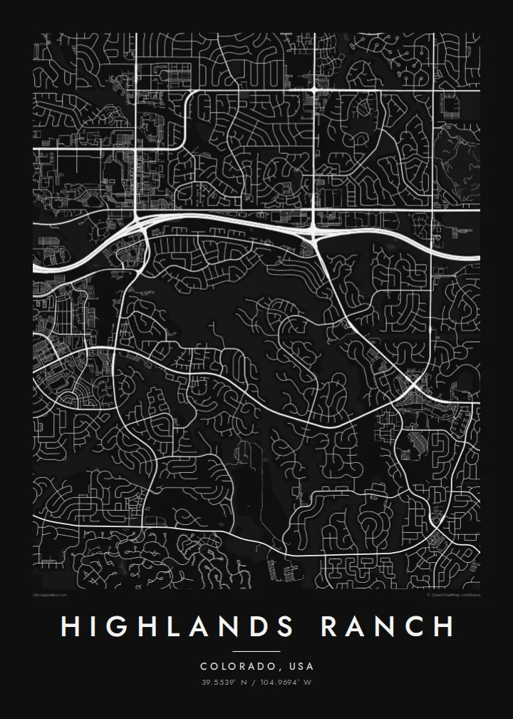
Highlands Ranch lies in Douglas County, south of Denver, and is one of the largest master-planned communities in the United States. Development began in the early 1980s on former ranch land. Its map looks nothing like the gridded older suburbs to the north: streets curve, loop and branch into cul-de-sacs across rolling ground.
Highlands Ranch is unincorporated and organised into neighbourhoods separated by greenbelts, trails and parks. A large open backcountry area to the south keeps the edge of development sharply defined, and C-470 runs along the northern side as the main boundary road. The historic Highlands Ranch Mansion survives from the ranch era.
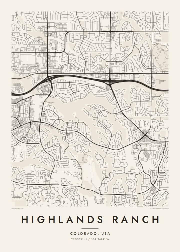
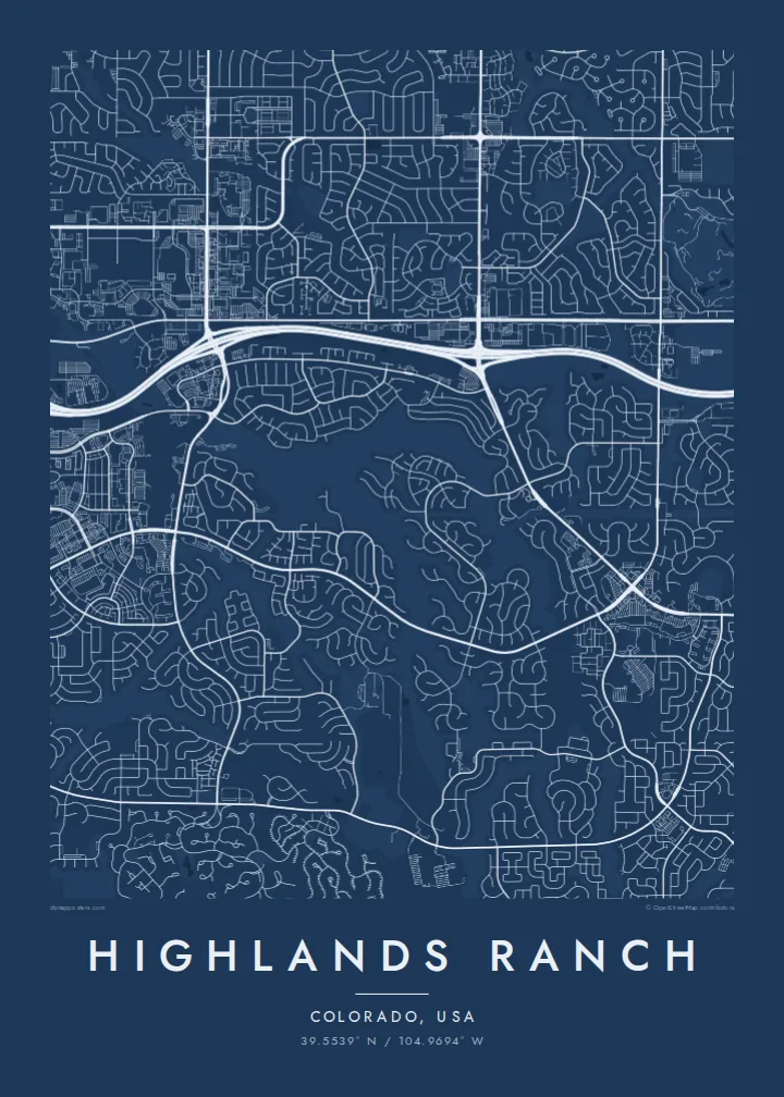
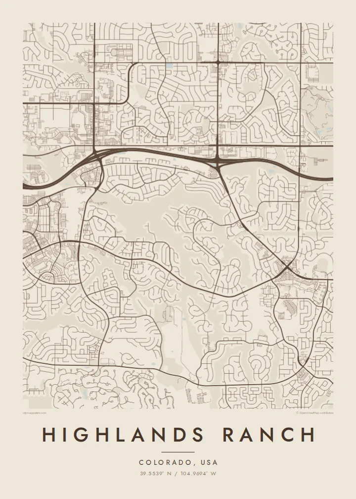
A Highlands Ranch map poster is a study in planned curves. Main roads sweep through the landscape, residential loops cluster around them like leaves on a branch, and green corridors thread between neighbourhoods. The result is one of the most graphic suburban maps in Colorado, and it looks especially striking in the Blueprint or Noir styles.
Few straight lines appear anywhere in the residential areas. Loops, crescents and cul-de-sacs follow the rolling ground, creating a flowing pattern that reads almost like a drawing.
South of the neighbourhoods, a large protected area of open land leaves the map almost empty. This sharp boundary between development and wild ground is one of its defining features.
The highway runs along the northern side of the community as a strong, continuous line. It separates Highlands Ranch from the suburbs toward Denver and anchors the composition.
Taute ke ha hau
Lafi e aho, taha higoa po ke taha kupu haau, hiki e fakatino, lahi po ke tuaga.
Ko e kitiaaga nakai totogi kua tote e maaliali mo e fakamailoga vai. Ko e tau lolomi mo e tau faila HD kua taute ke he 300 DPI, hokotia ke he 7,200 × 10,800 px, nakai fai fakamailoga vai.
Ko e ha Highlands Ranch
Highlands Ranch is where many Colorado families put down roots, and each neighbourhood has its own shape on the map. A poster lets you point to the exact loop where you live, the trail you walk and the park where the children played.
Add a title, a subtitle with the year you moved in, and the coordinates line, then choose from five styles. Preview it free at 900 px. Buy the $9 HD files in six sizes, including 18×24″ and 24×36″, or order a printed poster with a wooden frame.
Talaage e poster Highlands Ranch| Lahi he lolomi | Maama | Tau faila |
|---|---|---|
| 30 × 40 cm11.8 × 15.7″ | 3,543 × 4,724 px | PNG · PDF |
| 29.7 × 42 cm (A3)11.7 × 16.5″ | 3,508 × 4,961 px | PNG · PDF |
| 42 × 59.4 cm (A2)16.5 × 23.4″ | 4,961 × 7,016 px | PNG · PDF |
| 45.7 × 61 cm18 × 24″ | 5,400 × 7,200 px | PNG · PDF |
| 50 × 70 cm19.7 × 27.6″ | 5,906 × 8,268 px | PNG · PDF |
| 61 × 91.4 cm24 × 36″ | 7,200 × 10,800 px | PNG · PDF |
Ke fakatatai, ko e fakatino noa kua 900 px e laulahi, fai fakamailoga mo e mo e tau mata komipiuta ni. Ko e tau faila HD kua ato hoko ke he 8× e maama ke he tau faahi takitaha mo e lolomi mitaki he lahi katoa he fakatino.
Fifili e taha puhala i luga he kupega, ti fifili e Poster Lolomi — e lahi mo e, kaeke ke manako ai koe, taha poloka — po ke Tau Faila HD Fakaeletonika. Ko e fakaotiaga totogi ko e taha gahua ni, ti ko e kupega he hau a talaaga ka fakafou fakahaga i mua he fakaotiaga e totogi.
Kua lolomi ai ke he pepa mitaki 200 gsm matte he taha he tau lahi ono, mai he 30 × 40 cm ke hoko ke he 24 × 36″. Kamata e tau poster lolomi mai he $39, kua putoia ai e utaaga.
E. Fifili e poloka akau malolō ke he lanu uli, tea, akau oki mooli, po ke akau pouli. Kua fakalataha mo e sioga malolō nakai malepe ti kua mautali ke tautau. Kamata e tau poster poloka mai he $99, kua putoia ai e utaaga.
Nakai totogi e fakafano ke he motu 60+. Ko e fakatino taha kua lolomi he fenoga lolomi ha mautolu kua tata mo e tau motu 30+, kua hoko mai he tau aho gahua 3–7. Maeke ia koe ke kikite e tuaga mo e fakamuitua he lalo he Haku Tau Fakatonu. Ke he falu motu kua 2–5 e tau tapu, ti ka nakai fakafano a mautolu ki ai, to fakaha he api tupe ia ki mua he totogi.
Fakafano mai e taha ata ki a mautolu he loto he 14 e tau aho tali mai he hokoaga, ti to lolomi foki e mautolu nakai totogi po ke liu atu e totogi ki a koe.
E. He editor i luga he kupega nei, hikihiki e matakupu, e matakupu lalo mo e laini coordinates ke he taha mena kua manako a koe ki ai, ti fifili e puhala mo e lahi. Ko e tau talaaga lolomi, poloka mo e fakaeletonika oti kua fakaaoga tonu e hau a fakatino.
Ma e $9 ka moua e koe e tau faila PNG 300 DPI mo e PDF kua mautali ke lolomi he tau lahi ono oti, nakai fai fakamailoga vai, ke lolomi i fe mena. Nakai maopoopo agaia? Utu hifo fakamua e kitiaaga nakai totogi ne fai fakamailoga vai.
Tata mai
