Main roads out
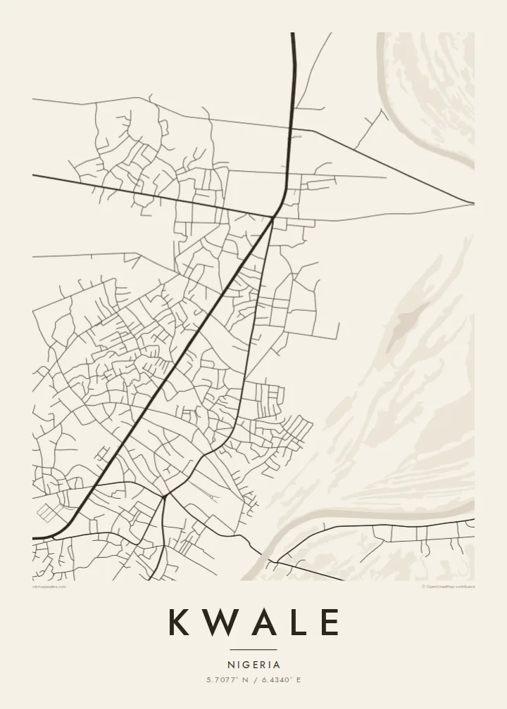
The principal routes lead out of Kwale toward neighbouring towns. On the poster they form the clearest lines, organising the smaller streets and compounds that cluster along them.
Fakatino mape mukamuka · Nigeria
5.7077° N / 6.4340° E
An administrative town in Nigeria's Delta State, its roads threading through low, water-laced country west of the Niger.




Taha e taone, lima e onoonoaga
Tapaki e taha puhala ke kitia ai ki luga he puipui. Kua tatai e totogi he tau puhala oti — pete he lolomi, poloka, po ke faila HD.
 Tau pikselo mooli · faila lolomi 24 × 36″
Maama mitaki ke lolomi
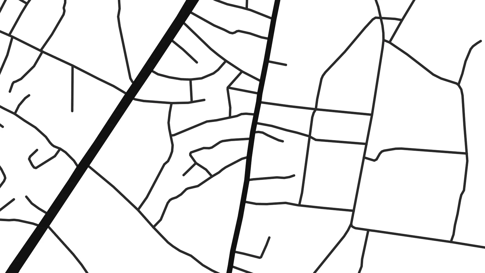
Ko e 100% e fahi mooli mai he faila lolomi. Ko e tau poster oti — pete kua lolomi, poloka, po ke utu hifo — kua taute ke he ha mautolu a tau tokoluga (server) ke he 300 DPI, hokotia ke he 7,200 × 10,800 piksela, ke maeke ai e tau ala ikiiki tote ke maaliali fakamitaki he lolomi 24 × 36″.
He Pā


Ko e mape
Kwale is the administrative headquarters of Ndokwa West Local Government Area in Delta State, in southern Nigeria. It lies west of the River Niger, in low-lying country where streams, wetlands and farmland shape the ground. On a map the town appears as a network of roads leading out from a central area, with houses and compounds filling the spaces between them and thinning into the countryside.
The region belongs to the wider Niger Delta, and water is never far away. Small rivers and seasonal wetlands run through the surroundings, drawing irregular lines that the road network has to bend around. This gives Kwale a loose, organic pattern quite unlike a planned grid, with streets that follow the ground and older paths.
The Ndokwa area is part of Nigeria's oil and gas producing region, which has brought pipelines, facilities and roads to the surrounding land. A Kwale map poster shows the town at a human scale: its main roads, the compounds along them and the soft edge where settlement gives way to farmland, bush and water.
The principal routes lead out of Kwale toward neighbouring towns. On the poster they form the clearest lines, organising the smaller streets and compounds that cluster along them.
Streams and wetlands of the Niger Delta wind through the surroundings. Their irregular courses add fluid shapes to the map and help explain the town's loose, non-linear layout.
Around the town, built-up areas give way to farmland and bush. This gentle transition frames the centre and gives the composition a natural, uneven border.
Taute ke ha hau
Lafi e aho, taha higoa po ke taha kupu haau, hiki e fakatino, lahi po ke tuaga.
Ko e kitiaaga nakai totogi kua tote e maaliali mo e fakamailoga vai. Ko e tau lolomi mo e tau faila HD kua taute ke he 300 DPI, hokotia ke he 7,200 × 10,800 px, nakai fai fakamailoga vai.
Ko e ha Kwale
For people from Kwale and the Ndokwa communities, whether they still live there or have moved to Asaba, Lagos or abroad, a map of the town is a personal connection to home. It is a fitting gift for a family house or a new office.
Add a title and subtitle, perhaps a family name, and keep or edit the coordinates line. Choose Classic black & white, Noir, Paper, Blueprint or Sand, then download six print sizes as 300 DPI PNG and print-ready PDF for $9.
Talaage e poster Kwale| Lahi he lolomi | Maama | Tau faila |
|---|---|---|
| 30 × 40 cm11.8 × 15.7″ | 3,543 × 4,724 px | PNG · PDF |
| 29.7 × 42 cm (A3)11.7 × 16.5″ | 3,508 × 4,961 px | PNG · PDF |
| 42 × 59.4 cm (A2)16.5 × 23.4″ | 4,961 × 7,016 px | PNG · PDF |
| 45.7 × 61 cm18 × 24″ | 5,400 × 7,200 px | PNG · PDF |
| 50 × 70 cm19.7 × 27.6″ | 5,906 × 8,268 px | PNG · PDF |
| 61 × 91.4 cm24 × 36″ | 7,200 × 10,800 px | PNG · PDF |
Ke fakatatai, ko e fakatino noa kua 900 px e laulahi, fai fakamailoga mo e mo e tau mata komipiuta ni. Ko e tau faila HD kua ato hoko ke he 8× e maama ke he tau faahi takitaha mo e lolomi mitaki he lahi katoa he fakatino.
Fifili e taha puhala i luga he kupega, ti fifili e Poster Lolomi — e lahi mo e, kaeke ke manako ai koe, taha poloka — po ke Tau Faila HD Fakaeletonika. Ko e fakaotiaga totogi ko e taha gahua ni, ti ko e kupega he hau a talaaga ka fakafou fakahaga i mua he fakaotiaga e totogi.
Kua lolomi ai ke he pepa mitaki 200 gsm matte he taha he tau lahi ono, mai he 30 × 40 cm ke hoko ke he 24 × 36″. Kamata e tau poster lolomi mai he $39, kua putoia ai e utaaga.
E. Fifili e poloka akau malolō ke he lanu uli, tea, akau oki mooli, po ke akau pouli. Kua fakalataha mo e sioga malolō nakai malepe ti kua mautali ke tautau. Kamata e tau poster poloka mai he $99, kua putoia ai e utaaga.
Nakai totogi e fakafano ke he motu 60+. Ko e fakatino taha kua lolomi he fenoga lolomi ha mautolu kua tata mo e tau motu 30+, kua hoko mai he tau aho gahua 3–7. Maeke ia koe ke kikite e tuaga mo e fakamuitua he lalo he Haku Tau Fakatonu. Ke he falu motu kua 2–5 e tau tapu, ti ka nakai fakafano a mautolu ki ai, to fakaha he api tupe ia ki mua he totogi.
Fakafano mai e taha ata ki a mautolu he loto he 14 e tau aho tali mai he hokoaga, ti to lolomi foki e mautolu nakai totogi po ke liu atu e totogi ki a koe.
E. He editor i luga he kupega nei, hikihiki e matakupu, e matakupu lalo mo e laini coordinates ke he taha mena kua manako a koe ki ai, ti fifili e puhala mo e lahi. Ko e tau talaaga lolomi, poloka mo e fakaeletonika oti kua fakaaoga tonu e hau a fakatino.
Ma e $9 ka moua e koe e tau faila PNG 300 DPI mo e PDF kua mautali ke lolomi he tau lahi ono oti, nakai fai fakamailoga vai, ke lolomi i fe mena. Nakai maopoopo agaia? Utu hifo fakamua e kitiaaga nakai totogi ne fai fakamailoga vai.
Tata mai
