Dune du Pilat
At the entrance to Arcachon Bay, Europe's tallest sand dune forms a long, pale ridge between the pine forest and the Atlantic. It is one of the most recognisable shapes on this coast.
Fakatino mape mukamuka · France
44.6328° N / 1.1451° W
A long commune reaching from the oyster ports of Arcachon Bay through pine forest to Europe's tallest sand dune and a large lake.
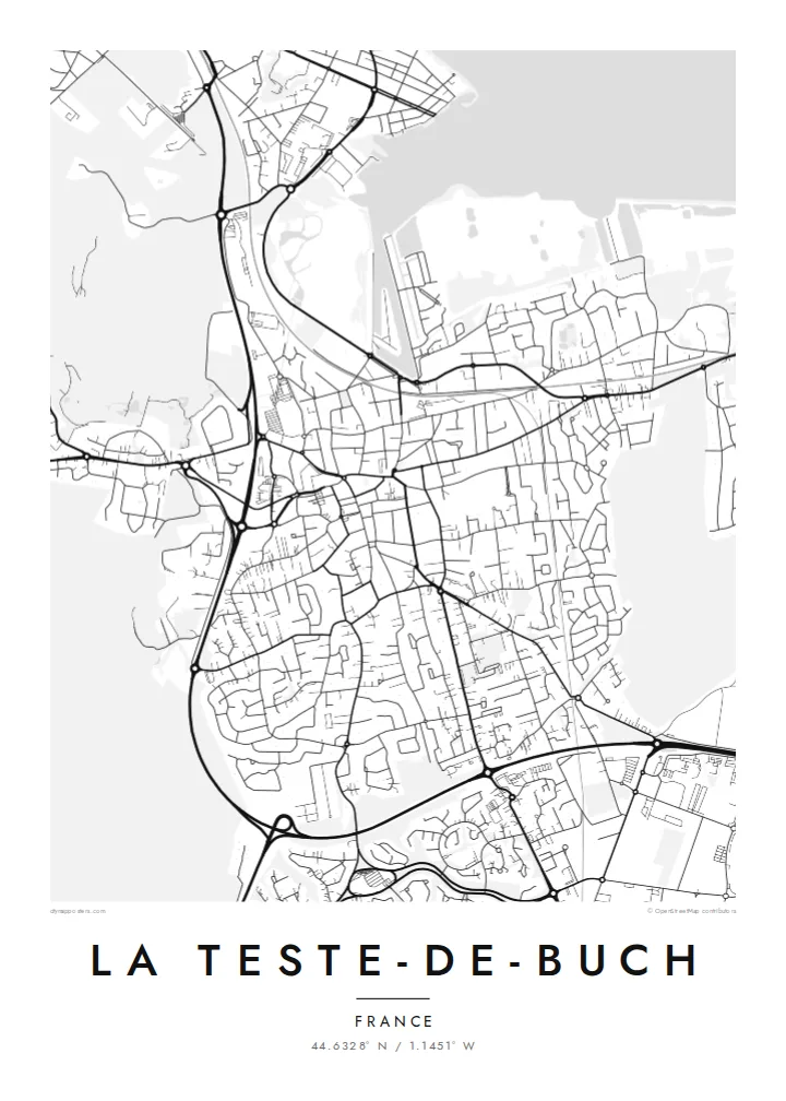
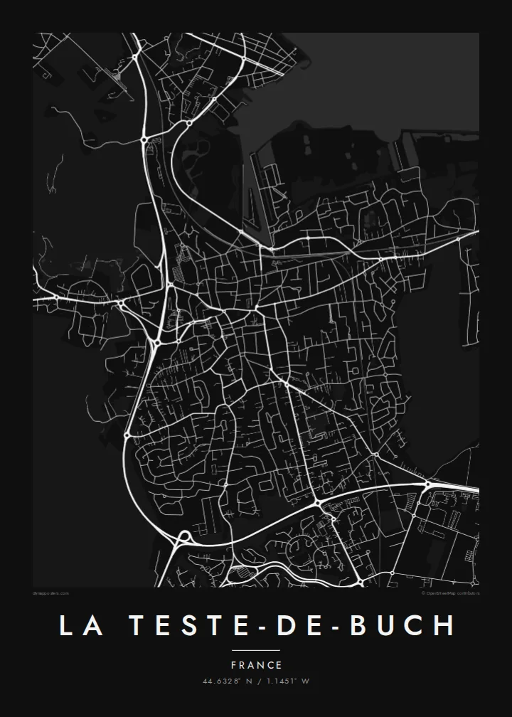
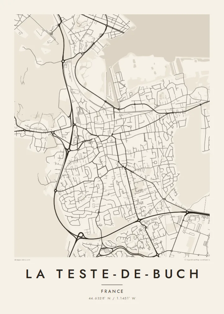

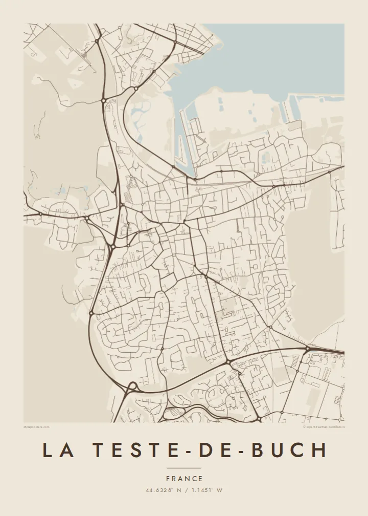
Taha e taone, lima e onoonoaga
Tapaki e taha puhala ke kitia ai ki luga he puipui. Kua tatai e totogi he tau puhala oti — pete he lolomi, poloka, po ke faila HD.
 Tau pikselo mooli · faila lolomi 24 × 36″
Maama mitaki ke lolomi
Ko e 100% e fahi mooli mai he faila lolomi. Ko e tau poster oti — pete kua lolomi, poloka, po ke utu hifo — kua taute ke he ha mautolu a tau tokoluga (server) ke he 300 DPI, hokotia ke he 7,200 × 10,800 piksela, ke maeke ai e tau ala ikiiki tote ke maaliali fakamitaki he lolomi 24 × 36″.
He Pā


Ko e mape
La Teste-de-Buch is one of the largest communes in mainland France by area. It stretches along the southern shore of Arcachon Bay in Gironde. Its town centre sits beside Arcachon itself, and the two built-up areas run together along the water. To the south and west, the map opens into the vast managed pine forest of the Landes, crossed by straight forestry tracks.
The coastline is the most striking part of the map. Small harbours and oyster ports notch the bay shore, and channels wind through the salt meadows. Toward the ocean, the Dune du Pilat rises at the mouth of the bay; it is the tallest sand dune in Europe. The winding residential lanes of Pyla-sur-Mer sit in the pines just behind it, in contrast to the older grid of the town centre.
Further south, the commune reaches the northern shore of the lake of Cazaux-Sanguinet, so a single frame can hold bay, ocean and freshwater. A La Teste-de-Buch map poster works at many scales. You can close in on the harbour streets, or pull back to show how thin the band of settlement is between the water and the forest.
At the entrance to Arcachon Bay, Europe's tallest sand dune forms a long, pale ridge between the pine forest and the Atlantic. It is one of the most recognisable shapes on this coast.
The bay shore is lined with small ports and basins used by oyster farmers. Their jetties and channels draw a fine, irregular edge along the water.
Inland, long straight tracks and firebreaks cross the planted maritime pine forest. It is a rare example of ruler-straight lines in open country.
Taute ke ha hau
Lafi e aho, taha higoa po ke taha kupu haau, hiki e fakatino, lahi po ke tuaga.
Ko e kitiaaga nakai totogi kua tote e maaliali mo e fakamailoga vai. Ko e tau lolomi mo e tau faila HD kua taute ke he 300 DPI, hokotia ke he 7,200 × 10,800 px, nakai fai fakamailoga vai.
Ko e ha La Teste-de-Buch
Many people know this coast from summer holidays, oyster lunches or a climb up the dune, and a map of it keeps those days in view. Water, forest and sand together make a composition that feels light on a wall.
Personalise the title, add a subtitle such as the year of a family holiday, and set the coordinates to a favourite beach. Sand and Paper suit the coast, and Blueprint brings out the channels. Order a matte print with an optional frame, or download six print sizes for $9.
Talaage e poster La Teste-de-Buch| Lahi he lolomi | Maama | Tau faila |
|---|---|---|
| 30 × 40 cm11.8 × 15.7″ | 3,543 × 4,724 px | PNG · PDF |
| 29.7 × 42 cm (A3)11.7 × 16.5″ | 3,508 × 4,961 px | PNG · PDF |
| 42 × 59.4 cm (A2)16.5 × 23.4″ | 4,961 × 7,016 px | PNG · PDF |
| 45.7 × 61 cm18 × 24″ | 5,400 × 7,200 px | PNG · PDF |
| 50 × 70 cm19.7 × 27.6″ | 5,906 × 8,268 px | PNG · PDF |
| 61 × 91.4 cm24 × 36″ | 7,200 × 10,800 px | PNG · PDF |
Ke fakatatai, ko e fakatino noa kua 900 px e laulahi, fai fakamailoga mo e mo e tau mata komipiuta ni. Ko e tau faila HD kua ato hoko ke he 8× e maama ke he tau faahi takitaha mo e lolomi mitaki he lahi katoa he fakatino.
Fifili e taha puhala i luga he kupega, ti fifili e Poster Lolomi — e lahi mo e, kaeke ke manako ai koe, taha poloka — po ke Tau Faila HD Fakaeletonika. Ko e fakaotiaga totogi ko e taha gahua ni, ti ko e kupega he hau a talaaga ka fakafou fakahaga i mua he fakaotiaga e totogi.
Kua lolomi ai ke he pepa mitaki 200 gsm matte he taha he tau lahi ono, mai he 30 × 40 cm ke hoko ke he 24 × 36″. Kamata e tau poster lolomi mai he $39, kua putoia ai e utaaga.
E. Fifili e poloka akau malolō ke he lanu uli, tea, akau oki mooli, po ke akau pouli. Kua fakalataha mo e sioga malolō nakai malepe ti kua mautali ke tautau. Kamata e tau poster poloka mai he $99, kua putoia ai e utaaga.
Nakai totogi e fakafano ke he motu 60+. Ko e fakatino taha kua lolomi he fenoga lolomi ha mautolu kua tata mo e tau motu 30+, kua hoko mai he tau aho gahua 3–7. Maeke ia koe ke kikite e tuaga mo e fakamuitua he lalo he Haku Tau Fakatonu. Ke he falu motu kua 2–5 e tau tapu, ti ka nakai fakafano a mautolu ki ai, to fakaha he api tupe ia ki mua he totogi.
Fakafano mai e taha ata ki a mautolu he loto he 14 e tau aho tali mai he hokoaga, ti to lolomi foki e mautolu nakai totogi po ke liu atu e totogi ki a koe.
E. He editor i luga he kupega nei, hikihiki e matakupu, e matakupu lalo mo e laini coordinates ke he taha mena kua manako a koe ki ai, ti fifili e puhala mo e lahi. Ko e tau talaaga lolomi, poloka mo e fakaeletonika oti kua fakaaoga tonu e hau a fakatino.
Ma e $9 ka moua e koe e tau faila PNG 300 DPI mo e PDF kua mautali ke lolomi he tau lahi ono oti, nakai fai fakamailoga vai, ke lolomi i fe mena. Nakai maopoopo agaia? Utu hifo fakamua e kitiaaga nakai totogi ne fai fakamailoga vai.
Tata mai
