Mavis Grind
At this narrow isthmus, the waters of the North Sea and the Atlantic nearly meet. It is the thinnest point of the island, and on the map the coastline almost touches.
Fakatino mape mukamuka · United Kingdom
60.2450° N / 1.3766° W
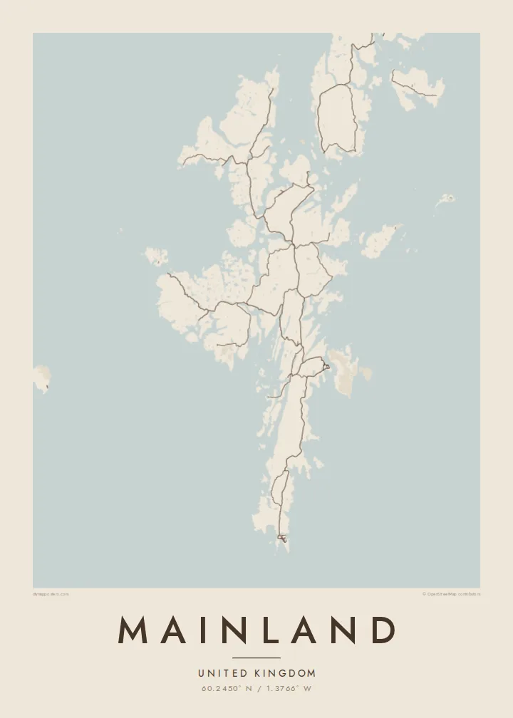
The largest Shetland island, a long, ragged spine of land so cut by voes that the sea is never far away


Taha e taone, lima e onoonoaga
Tapaki e taha puhala ke kitia ai ki luga he puipui. Kua tatai e totogi he tau puhala oti — pete he lolomi, poloka, po ke faila HD.
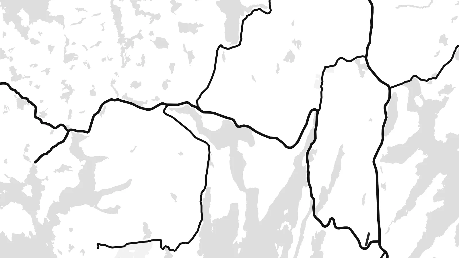 Tau pikselo mooli · faila lolomi 24 × 36″
Maama mitaki ke lolomi
Ko e 100% e fahi mooli mai he faila lolomi. Ko e tau poster oti — pete kua lolomi, poloka, po ke utu hifo — kua taute ke he ha mautolu a tau tokoluga (server) ke he 300 DPI, hokotia ke he 7,200 × 10,800 piksela, ke maeke ai e tau ala ikiiki tote ke maaliali fakamitaki he lolomi 24 × 36″.
He Pā


Ko e mape
Shetland's Mainland is long and narrow, running north to south, and its coastline is extraordinarily indented. Long inlets called voes cut deep into it from both sides, so the island often seems to be made of several peninsulas held together by thin necks of land. Main roads follow these narrow strips and join scattered crofting settlements, bays and harbours from Sumburgh in the south to the northern headlands.
Lerwick, the capital of Shetland, lies on the east coast facing Bressay. Each winter it hosts the Up Helly Aa fire festival. At Mavis Grind, the land narrows so much that the North Sea and the Atlantic are separated by only a short strip of ground. Near the southern tip, the settlement site at Jarlshof shows thousands of years of continuous occupation.
A Mainland map poster is a study in coastline. Voes, sounds and islands intertwine, and the outline is almost as long as a much larger landmass. Lerwick's harbour streets form the densest cluster. The rest is a pattern of roads, lochs and bays that makes Shetland's geography unusually clear.
At this narrow isthmus, the waters of the North Sea and the Atlantic nearly meet. It is the thinnest point of the island, and on the map the coastline almost touches.
Shetland's capital stretches along its sheltered harbour on the east coast, facing the island of Bressay. It has the densest street pattern on the island.
Long, fjord-like inlets cut into the island from both sides. They break it into peninsulas and give the poster its intricate, branching outline.
Taute ke ha hau
Lafi e aho, taha higoa po ke taha kupu haau, hiki e fakatino, lahi po ke tuaga.
Ko e kitiaaga nakai totogi kua tote e maaliali mo e fakamailoga vai. Ko e tau lolomi mo e tau faila HD kua taute ke he 300 DPI, hokotia ke he 7,200 × 10,800 px, nakai fai fakamailoga vai.
Ko e ha Mainland
Shetlanders living elsewhere, and visitors who came for the birds, the light and Up Helly Aa, find in this outline a very recognisable image of home or of a journey. The ragged coast looks especially striking in Noir, with the land picked out in light lines.
Add your own title and subtitle, a family name or the date of a crossing, and choose from Classic black & white, Noir, Paper, Blueprint or Sand. Download the HD files for $9 or order a matte print with an optional frame.
Talaage e poster Mainland| Lahi he lolomi | Maama | Tau faila |
|---|---|---|
| 30 × 40 cm11.8 × 15.7″ | 3,543 × 4,724 px | PNG · PDF |
| 29.7 × 42 cm (A3)11.7 × 16.5″ | 3,508 × 4,961 px | PNG · PDF |
| 42 × 59.4 cm (A2)16.5 × 23.4″ | 4,961 × 7,016 px | PNG · PDF |
| 45.7 × 61 cm18 × 24″ | 5,400 × 7,200 px | PNG · PDF |
| 50 × 70 cm19.7 × 27.6″ | 5,906 × 8,268 px | PNG · PDF |
| 61 × 91.4 cm24 × 36″ | 7,200 × 10,800 px | PNG · PDF |
Ke fakatatai, ko e fakatino noa kua 900 px e laulahi, fai fakamailoga mo e mo e tau mata komipiuta ni. Ko e tau faila HD kua ato hoko ke he 8× e maama ke he tau faahi takitaha mo e lolomi mitaki he lahi katoa he fakatino.
Fifili e taha puhala i luga he kupega, ti fifili e Poster Lolomi — e lahi mo e, kaeke ke manako ai koe, taha poloka — po ke Tau Faila HD Fakaeletonika. Ko e fakaotiaga totogi ko e taha gahua ni, ti ko e kupega he hau a talaaga ka fakafou fakahaga i mua he fakaotiaga e totogi.
Kua lolomi ai ke he pepa mitaki 200 gsm matte he taha he tau lahi ono, mai he 30 × 40 cm ke hoko ke he 24 × 36″. Kamata e tau poster lolomi mai he $39, kua putoia ai e utaaga.
E. Fifili e poloka akau malolō ke he lanu uli, tea, akau oki mooli, po ke akau pouli. Kua fakalataha mo e sioga malolō nakai malepe ti kua mautali ke tautau. Kamata e tau poster poloka mai he $99, kua putoia ai e utaaga.
Nakai totogi e fakafano ke he motu 60+. Ko e fakatino taha kua lolomi he fenoga lolomi ha mautolu kua tata mo e tau motu 30+, kua hoko mai he tau aho gahua 3–7. Maeke ia koe ke kikite e tuaga mo e fakamuitua he lalo he Haku Tau Fakatonu. Ke he falu motu kua 2–5 e tau tapu, ti ka nakai fakafano a mautolu ki ai, to fakaha he api tupe ia ki mua he totogi.
Fakafano mai e taha ata ki a mautolu he loto he 14 e tau aho tali mai he hokoaga, ti to lolomi foki e mautolu nakai totogi po ke liu atu e totogi ki a koe.
E. He editor i luga he kupega nei, hikihiki e matakupu, e matakupu lalo mo e laini coordinates ke he taha mena kua manako a koe ki ai, ti fifili e puhala mo e lahi. Ko e tau talaaga lolomi, poloka mo e fakaeletonika oti kua fakaaoga tonu e hau a fakatino.
Ma e $9 ka moua e koe e tau faila PNG 300 DPI mo e PDF kua mautali ke lolomi he tau lahi ono oti, nakai fai fakamailoga vai, ke lolomi i fe mena. Nakai maopoopo agaia? Utu hifo fakamua e kitiaaga nakai totogi ne fai fakamailoga vai.
Tata mai
