Ming city wall
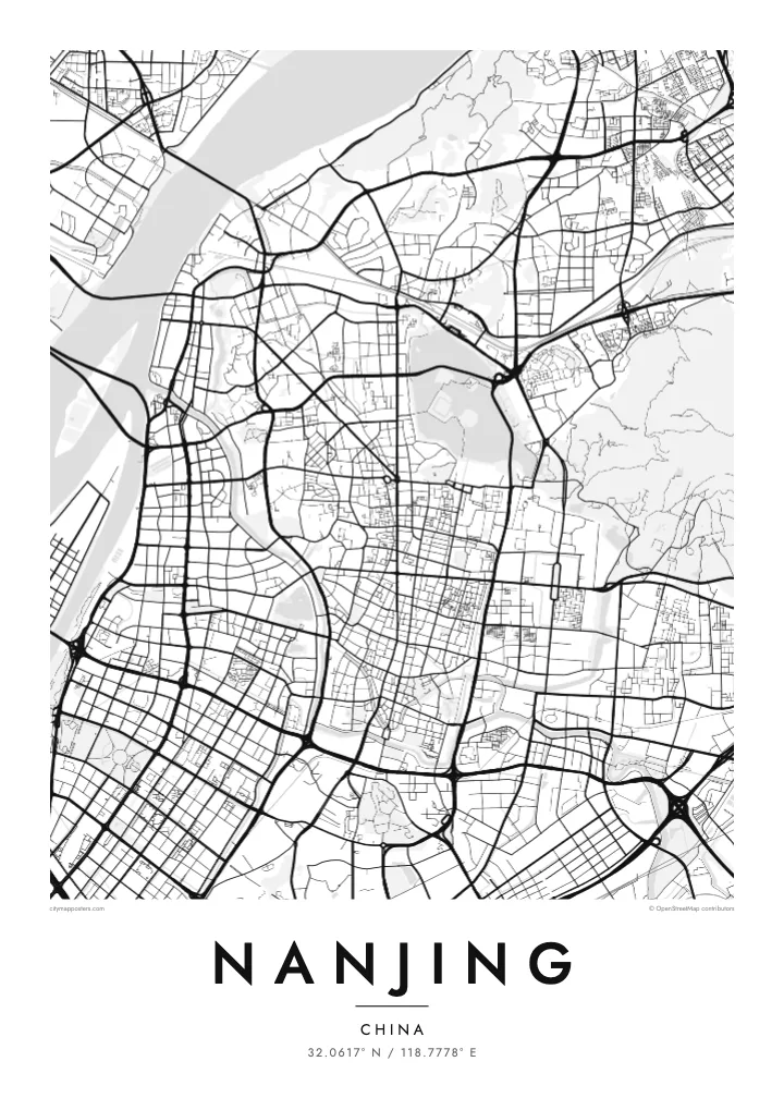
One of the longest surviving city walls in the world, following ridges and lakeshores for more than twenty kilometres. On the poster it forms an irregular loop around the historic core.
Fakatino mape mukamuka · China
32.0617° N / 118.7778° E
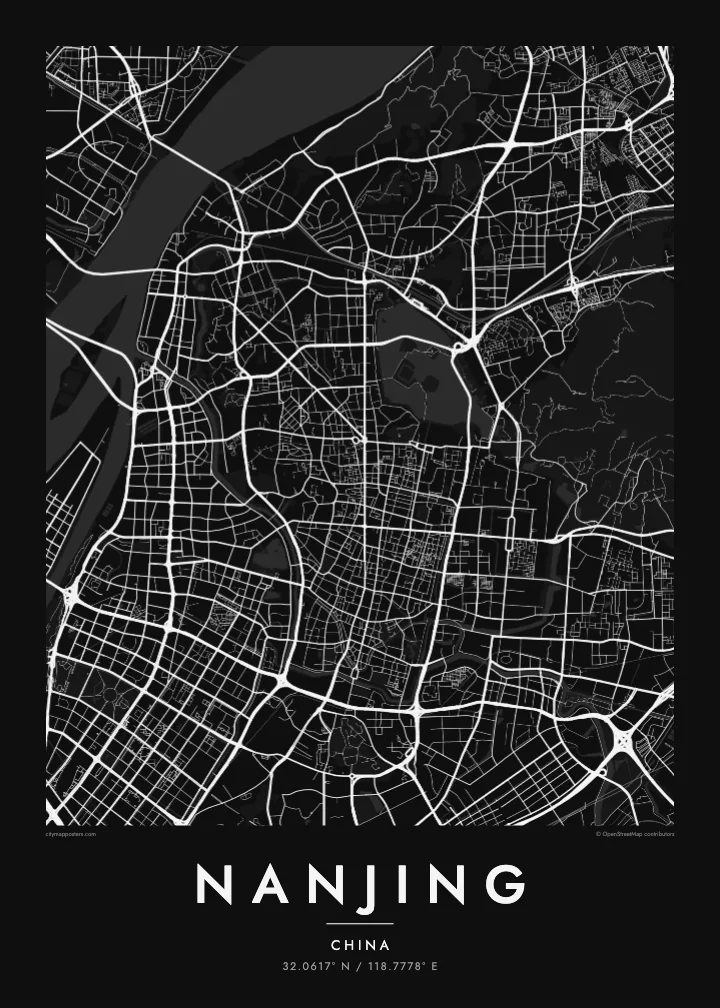
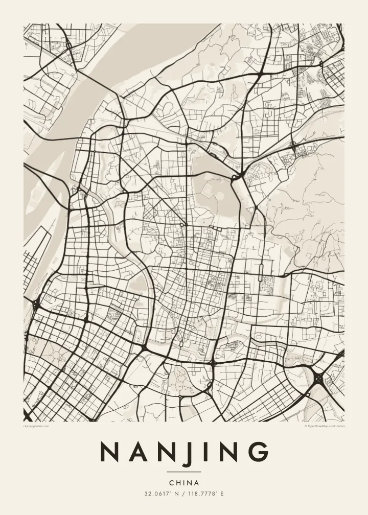
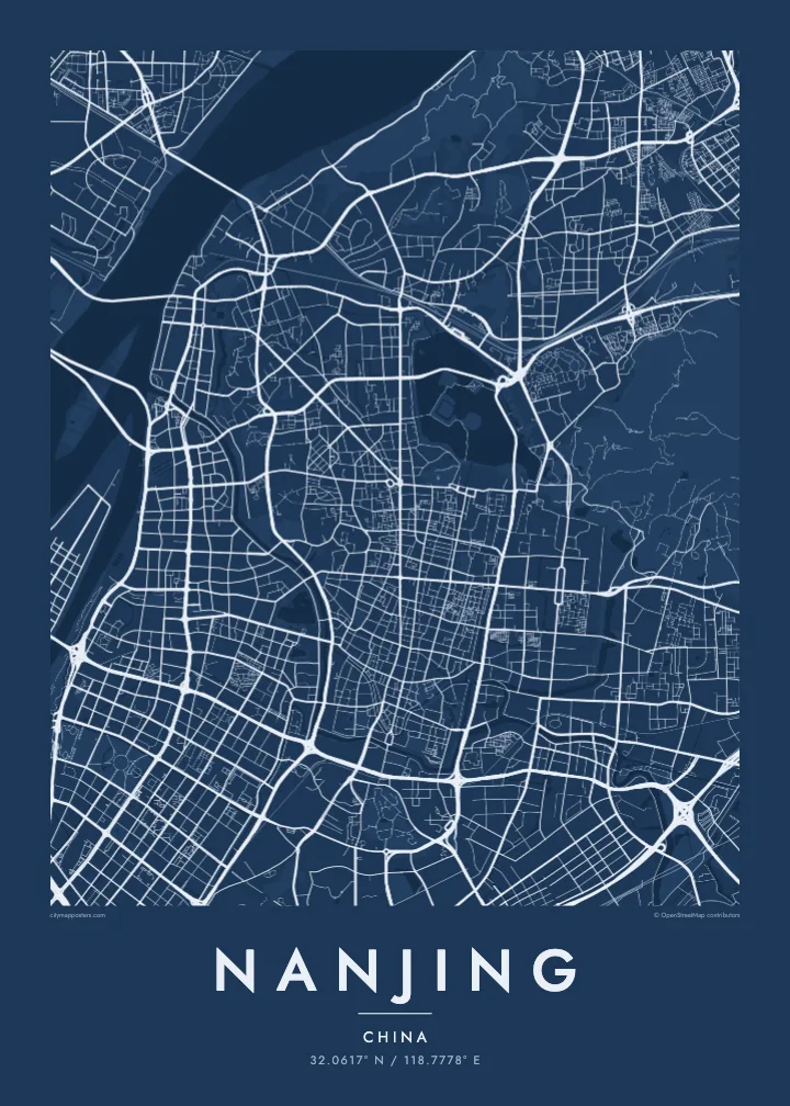
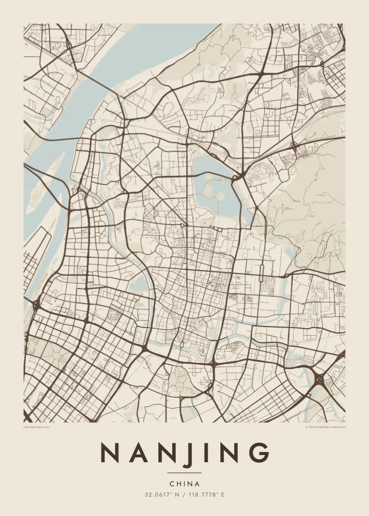
The Yangtze sweeping past a Ming-walled city, with Xuanwu Lake pressed against the wall and Purple Mountain rising east.
Taha e taone, lima e onoonoaga
Tapaki e taha puhala ke kitia ai ki luga he puipui. Kua tatai e totogi he tau puhala oti — pete he lolomi, poloka, po ke faila HD.
 Tau pikselo mooli · faila lolomi 24 × 36″
Maama mitaki ke lolomi
Ko e 100% e fahi mooli mai he faila lolomi. Ko e tau poster oti — pete kua lolomi, poloka, po ke utu hifo — kua taute ke he ha mautolu a tau tokoluga (server) ke he 300 DPI, hokotia ke he 7,200 × 10,800 piksela, ke maeke ai e tau ala ikiiki tote ke maaliali fakamitaki he lolomi 24 × 36″.
He Pā


Ko e mape
Nanjing lies on the southern bank of the Yangtze, where the river turns northeast, and the city has faced the water for well over two thousand years. Its most distinctive feature from above is the Ming city wall, built in the fourteenth century and still standing along much of its length. The line bends irregularly around hills and lakes rather than forming a neat rectangle.
Inside and around the wall, the city is full of water. Xuanwu Lake lies just beyond the northern stretch, the Qinhuai River curves through the south past the Confucius Temple district, and moats follow the old fortifications. East of the centre, Purple Mountain carries the Sun Yat-sen Mausoleum and the Ming Xiaoling tomb within a large forested area, which reads as open space on the map.
Nanjing served as the capital of China under several dynasties and governments, which explains its ceremonial avenues and monumental gates. Zhonghua Gate in the south is one of the largest surviving city gates in China. A Nanjing map poster frames the river, the wall and the mountain together, the three features most often cited in explaining why the city was chosen as a capital.
One of the longest surviving city walls in the world, following ridges and lakeshores for more than twenty kilometres. On the poster it forms an irregular loop around the historic core.
The river that loops through southern Nanjing, running both outside and inside the wall, past the Confucius Temple and its old lanes. Its bends define the southern edge of the old city.
The forested mountain east of the walls holds the Sun Yat-sen Mausoleum, the Ming Xiaoling tomb and an observatory. On the map it appears as a large, calm area of paths and slopes.
Taute ke ha hau
Lafi e aho, taha higoa po ke taha kupu haau, hiki e fakatino, lahi po ke tuaga.
Ko e kitiaaga nakai totogi kua tote e maaliali mo e fakamailoga vai. Ko e tau lolomi mo e tau faila HD kua taute ke he 300 DPI, hokotia ke he 7,200 × 10,800 px, nakai fai fakamailoga vai.
Ko e ha Nanjing
Nanjing is a city people study in, and many graduates of its universities carry a lasting attachment to its plane-tree avenues and old gates. A map of the walled city is a way of keeping those years in view, long after leaving.
Set your own title and subtitle, perhaps a graduation year, and edit the coordinates line if you like. Choose from five styles; Paper and Sand suit the old wall, Blueprint the river crossings. Order the HD files or a matte print with an optional wooden frame.
Talaage e poster Nanjing| Lahi he lolomi | Maama | Tau faila |
|---|---|---|
| 30 × 40 cm11.8 × 15.7″ | 3,543 × 4,724 px | PNG · PDF |
| 29.7 × 42 cm (A3)11.7 × 16.5″ | 3,508 × 4,961 px | PNG · PDF |
| 42 × 59.4 cm (A2)16.5 × 23.4″ | 4,961 × 7,016 px | PNG · PDF |
| 45.7 × 61 cm18 × 24″ | 5,400 × 7,200 px | PNG · PDF |
| 50 × 70 cm19.7 × 27.6″ | 5,906 × 8,268 px | PNG · PDF |
| 61 × 91.4 cm24 × 36″ | 7,200 × 10,800 px | PNG · PDF |
Ke fakatatai, ko e fakatino noa kua 900 px e laulahi, fai fakamailoga mo e mo e tau mata komipiuta ni. Ko e tau faila HD kua ato hoko ke he 8× e maama ke he tau faahi takitaha mo e lolomi mitaki he lahi katoa he fakatino.
Fifili e taha puhala i luga he kupega, ti fifili e Poster Lolomi — e lahi mo e, kaeke ke manako ai koe, taha poloka — po ke Tau Faila HD Fakaeletonika. Ko e fakaotiaga totogi ko e taha gahua ni, ti ko e kupega he hau a talaaga ka fakafou fakahaga i mua he fakaotiaga e totogi.
Kua lolomi ai ke he pepa mitaki 200 gsm matte he taha he tau lahi ono, mai he 30 × 40 cm ke hoko ke he 24 × 36″. Kamata e tau poster lolomi mai he $39, kua putoia ai e utaaga.
E. Fifili e poloka akau malolō ke he lanu uli, tea, akau oki mooli, po ke akau pouli. Kua fakalataha mo e sioga malolō nakai malepe ti kua mautali ke tautau. Kamata e tau poster poloka mai he $99, kua putoia ai e utaaga.
Nakai totogi e fakafano ke he motu 60+. Ko e fakatino taha kua lolomi he fenoga lolomi ha mautolu kua tata mo e tau motu 30+, kua hoko mai he tau aho gahua 3–7. Maeke ia koe ke kikite e tuaga mo e fakamuitua he lalo he Haku Tau Fakatonu. Ke he falu motu kua 2–5 e tau tapu, ti ka nakai fakafano a mautolu ki ai, to fakaha he api tupe ia ki mua he totogi.
Fakafano mai e taha ata ki a mautolu he loto he 14 e tau aho tali mai he hokoaga, ti to lolomi foki e mautolu nakai totogi po ke liu atu e totogi ki a koe.
E. He editor i luga he kupega nei, hikihiki e matakupu, e matakupu lalo mo e laini coordinates ke he taha mena kua manako a koe ki ai, ti fifili e puhala mo e lahi. Ko e tau talaaga lolomi, poloka mo e fakaeletonika oti kua fakaaoga tonu e hau a fakatino.
Ma e $9 ka moua e koe e tau faila PNG 300 DPI mo e PDF kua mautali ke lolomi he tau lahi ono oti, nakai fai fakamailoga vai, ke lolomi i fe mena. Nakai maopoopo agaia? Utu hifo fakamua e kitiaaga nakai totogi ne fai fakamailoga vai.
Tata mai
