Road to the Iseran
The valley road continues past the village toward the Col de l'Iseran, one of the highest paved road passes in the Alps, closed in winter and giving the map a clear upstream direction.
Fakatino mape mukamuka · France
45.4496° N / 6.9787° E
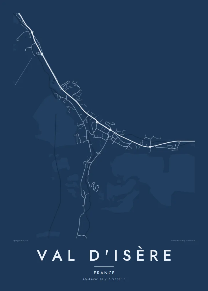
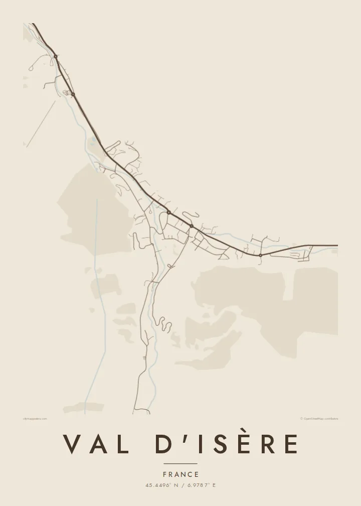
A single valley road climbing the upper Isère, with the village, its outlying hamlets and wide slopes on both sides.


Taha e taone, lima e onoonoaga
Tapaki e taha puhala ke kitia ai ki luga he puipui. Kua tatai e totogi he tau puhala oti — pete he lolomi, poloka, po ke faila HD.
 Tau pikselo mooli · faila lolomi 24 × 36″
Maama mitaki ke lolomi
Ko e 100% e fahi mooli mai he faila lolomi. Ko e tau poster oti — pete kua lolomi, poloka, po ke utu hifo — kua taute ke he ha mautolu a tau tokoluga (server) ke he 300 DPI, hokotia ke he 7,200 × 10,800 piksela, ke maeke ai e tau ala ikiiki tote ke maaliali fakamitaki he lolomi 24 × 36″.
He Pā


Ko e mape
Val d'Isère lies near the head of the Tarentaise valley in Savoie, and its map is built around one road. The D902 enters from downstream, passes the hamlet of La Daille, runs through the village centre and continues upstream past Le Fornet toward the Col de l'Iseran. Chalets, lift stations and car parks line this route, with the Isère river running alongside.
The resort shares the Espace Killy ski area with Tignes, named after Jean-Claude Killy, who grew up in Val d'Isère and won three alpine gold medals at the 1968 Olympics. The Face de Bellevarde above the village hosted the men's downhill at the 1992 Albertville Games, and the Critérium de la Première Neige World Cup race is held here early in the season.
A Val d'Isère map poster shows a resort in its simplest form: one road, one river and a string of settlements tucked into a high valley. Around the centre, a small church and a network of lanes give the village its core, while the empty ground on either side stands in for the slopes of Bellevarde and Solaise.
The valley road continues past the village toward the Col de l'Iseran, one of the highest paved road passes in the Alps, closed in winter and giving the map a clear upstream direction.
The two hamlets mark either end of the resort, La Daille downstream with its lift base and Le Fornet upstream, each a small cluster of buildings along the road.
The two mountains rising directly from the village carry the main lift-served slopes; on the map they appear as open ground above the streets, framing the centre on two sides.
Taute ke ha hau
Lafi e aho, taha higoa po ke taha kupu haau, hiki e fakatino, lahi po ke tuaga.
Ko e kitiaaga nakai totogi kua tote e maaliali mo e fakamailoga vai. Ko e tau lolomi mo e tau faila HD kua taute ke he 300 DPI, hokotia ke he 7,200 × 10,800 px, nakai fai fakamailoga vai.
Ko e ha Val d'Isère
Val d'Isère is the kind of resort people return to year after year, and a map is a fitting keepsake for that habit. Its linear shape reads clearly even at a small print size, and it looks at home in a chalet or a city flat alike.
Set a title and subtitle, add a coordinates line for your chalet or favourite run, and pick one of five styles: Classic black & white, Noir, Paper, Blueprint or Sand. Buy the HD files for $9, or have it printed on matte paper and shipped with an optional wooden frame.
Talaage e poster Val d'Isère| Lahi he lolomi | Maama | Tau faila |
|---|---|---|
| 30 × 40 cm11.8 × 15.7″ | 3,543 × 4,724 px | PNG · PDF |
| 29.7 × 42 cm (A3)11.7 × 16.5″ | 3,508 × 4,961 px | PNG · PDF |
| 42 × 59.4 cm (A2)16.5 × 23.4″ | 4,961 × 7,016 px | PNG · PDF |
| 45.7 × 61 cm18 × 24″ | 5,400 × 7,200 px | PNG · PDF |
| 50 × 70 cm19.7 × 27.6″ | 5,906 × 8,268 px | PNG · PDF |
| 61 × 91.4 cm24 × 36″ | 7,200 × 10,800 px | PNG · PDF |
Ke fakatatai, ko e fakatino noa kua 900 px e laulahi, fai fakamailoga mo e mo e tau mata komipiuta ni. Ko e tau faila HD kua ato hoko ke he 8× e maama ke he tau faahi takitaha mo e lolomi mitaki he lahi katoa he fakatino.
Fifili e taha puhala i luga he kupega, ti fifili e Poster Lolomi — e lahi mo e, kaeke ke manako ai koe, taha poloka — po ke Tau Faila HD Fakaeletonika. Ko e fakaotiaga totogi ko e taha gahua ni, ti ko e kupega he hau a talaaga ka fakafou fakahaga i mua he fakaotiaga e totogi.
Kua lolomi ai ke he pepa mitaki 200 gsm matte he taha he tau lahi ono, mai he 30 × 40 cm ke hoko ke he 24 × 36″. Kamata e tau poster lolomi mai he $39, kua putoia ai e utaaga.
E. Fifili e poloka akau malolō ke he lanu uli, tea, akau oki mooli, po ke akau pouli. Kua fakalataha mo e sioga malolō nakai malepe ti kua mautali ke tautau. Kamata e tau poster poloka mai he $99, kua putoia ai e utaaga.
Nakai totogi e fakafano ke he motu 60+. Ko e fakatino taha kua lolomi he fenoga lolomi ha mautolu kua tata mo e tau motu 30+, kua hoko mai he tau aho gahua 3–7. Maeke ia koe ke kikite e tuaga mo e fakamuitua he lalo he Haku Tau Fakatonu. Ke he falu motu kua 2–5 e tau tapu, ti ka nakai fakafano a mautolu ki ai, to fakaha he api tupe ia ki mua he totogi.
Fakafano mai e taha ata ki a mautolu he loto he 14 e tau aho tali mai he hokoaga, ti to lolomi foki e mautolu nakai totogi po ke liu atu e totogi ki a koe.
E. He editor i luga he kupega nei, hikihiki e matakupu, e matakupu lalo mo e laini coordinates ke he taha mena kua manako a koe ki ai, ti fifili e puhala mo e lahi. Ko e tau talaaga lolomi, poloka mo e fakaeletonika oti kua fakaaoga tonu e hau a fakatino.
Ma e $9 ka moua e koe e tau faila PNG 300 DPI mo e PDF kua mautali ke lolomi he tau lahi ono oti, nakai fai fakamailoga vai, ke lolomi i fe mena. Nakai maopoopo agaia? Utu hifo fakamua e kitiaaga nakai totogi ne fai fakamailoga vai.
