Island-studded bay
Several islands sit within the sheltered gulf, their outlines scattered across the water and giving the map a distinctive, almost archipelago-like quality.
Minimalistische kaartposter · Turkije
36.6404° N / 29.1276° E
A harbour town curved around a deep, island-studded bay, with rock-cut tombs on the cliffs and mountains close behind.
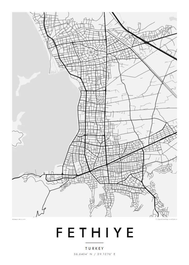


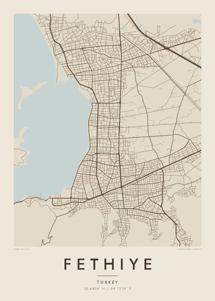
Eén stad, vijf sferen
Tik op een stijl om hem aan de muur te zien. Elke stijl kost hetzelfde — geprint, ingelijst of als HD-bestanden.
 Werkelijke pixels · 24 × 36″ printbestand
Haarscherp gedrukt
Dit is een uitsnede op ware grootte van het echte printbestand. Elke poster — geprint, ingelijst of gedownload — wordt op onze servers gerenderd op 300 DPI, tot 7,200 × 10,800 pixels, zodat zelfs de kleinste straatjes scherp blijven op een print van 24 × 36″.
Aan de muur


De kaart
Fethiye curves around the inner shore of the Gulf of Fethiye on Turkey's south-western coast, where a sheltered harbour faces a scatter of islands. On the map, the town forms a crescent of streets pressed between the water and steep slopes, with the marina and waterfront promenade tracing the shoreline and newer districts spreading across the plain to the east.
The town stands on the site of ancient Telmessos, and Lycian rock tombs, including the temple-fronted Tomb of Amyntas, are carved into the cliff above the streets. Nearby lie the lagoon of Ölüdeniz and the abandoned hillside village of Kayaköy, while Babadağ rises to the south-east and is a well-known launch point for paragliders.
A Fethiye map poster frames the relationship between sea and mountain that defines this coast: the jagged edge of the bay, the islands floating offshore and the town packed along a narrow strip of land. It makes a fitting memento of long summers on the Turquoise Coast, or of a sailing trip around the gulf.
Several islands sit within the sheltered gulf, their outlines scattered across the water and giving the map a distinctive, almost archipelago-like quality.
The harbour, marina and promenade follow the curve of the shore, forming a tight arc of streets between the sea and the rising hills.
Above the town, steep slopes hold the ancient rock-cut tombs, and on the map the terrain forces streets to twist and climb as they leave the coast.
Maak hem persoonlijk
Voeg een datum, een naam of je eigen tekst toe, en wissel van stijl, formaat of oriëntatie.
De gratis voorbeeldweergave is lage resolutie met watermerk. Prints en HD-bestanden worden gerenderd op 300 DPI, tot 7,200 × 10,800 px, zonder watermerk.
Waarom Fethiye
Fethiye draws visitors back year after year, and many have spent a formative summer or a whole new life there. A map of the bay turns that memory into something clean and lasting, perfect for a home far from the Aegean light.
Personalise the title, subtitle and coordinates, perhaps with the year of a holiday or a wedding. Choose Classic black & white, Noir, Paper, Blueprint or Sand; Blueprint suits the bay's many shades of water. Buy the $9 digital files or a framed printed poster.
Bestel de poster Fethiye| Printformaat | Resolutie | Bestanden |
|---|---|---|
| 30 × 40 cm (11.8 × 15.7″) | 3,543 × 4,724 px | PNG · PDF |
| 29.7 × 42 cm (A3, 11.7 × 16.5″) | 3,508 × 4,961 px | PNG · PDF |
| 42 × 59.4 cm (A2, 16.5 × 23.4″) | 4,961 × 7,016 px | PNG · PDF |
| 45.7 × 61 cm (18 × 24″) | 5,400 × 7,200 px | PNG · PDF |
| 50 × 70 cm (19.7 × 27.6″) | 5,906 × 8,268 px | PNG · PDF |
| 61 × 91.4 cm (24 × 36″) | 7,200 × 10,800 px | PNG · PDF |
Ter vergelijking: de gratis preview is 900 px breed, heeft een watermerk en is bedoeld voor schermen. De HD-bestanden hebben tot 8× de resolutie in elke richting en worden haarscherp geprint op volledig posterformaat.
Kies bovenaan de pagina een stijl en kies dan voor Geprinte Poster — een formaat en eventueel een lijst — of Digitale HD-bestanden. Afrekenen kost één stap, en je bestelpagina wordt direct bijgewerkt zodra de betaling is verwerkt.
Hij wordt geprint op premium mat papier van 200 g/m² in een van zes formaten, van 30 × 40 cm tot 24 × 36″. Geprinte posters beginnen vanaf {printFrom}, verzending inbegrepen.
Ja. Kies een massief houten lijst in zwart, wit, natuurlijk eiken of donker hout. Inclusief breukvast glas en direct op te hangen. Ingelijste posters beginnen vanaf {framedFrom}, verzending inbegrepen.
Verzending is wereldwijd gratis. Elke poster wordt geprint door de dichtstbijzijnde van onze printpartners in 30+ landen en komt meestal binnen 3–7 werkdagen aan. De status en Track & Trace vind je onder Mijn Bestellingen.
Stuur ons binnen 14 dagen na levering een foto en we printen hem gratis opnieuw of betalen je terug.
Ja. Pas in de editor op deze pagina de titel, de ondertitel en de coördinatenregel aan zoals je wilt, en kies een stijl en formaat. Geprinte, ingelijste en digitale bestellingen gebruiken allemaal precies jouw ontwerp.
Voor $9 krijg je PNG-bestanden op 300 DPI en printklare PDF's in alle zes formaten, zonder watermerk, om overal te printen. Nog niet zeker? Download eerst een gratis voorbeeld met watermerk.
