The Kame
A towering cliff on the west coast, among the highest in Britain, where the land drops almost vertically to the sea. On the map the contour lines crowd together sharply.
Minimalistische kaartposter · Verenigd Koninkrijk
60.1338° N / 2.0779° W
A small, high Shetland island rising to great western cliffs, with its few crofts spread along the eastern side.



Eén stad, vijf sferen
Tik op een stijl om hem aan de muur te zien. Elke stijl kost hetzelfde — geprint, ingelijst of als HD-bestanden.
 Werkelijke pixels · 24 × 36″ printbestand
Haarscherp gedrukt
Dit is een uitsnede op ware grootte van het echte printbestand. Elke poster — geprint, ingelijst of gedownload — wordt op onze servers gerenderd op 300 DPI, tot 7,200 × 10,800 pixels, zodat zelfs de kleinste straatjes scherp blijven op een print van 24 × 36″.
Aan de muur


De kaart
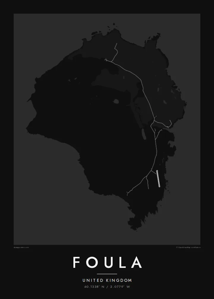
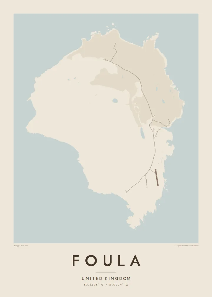
Foula lies well west of mainland Shetland and is one of the most remote inhabited islands in Britain. On a map it is a compact, rounded block of land, but the relief tells the real story. High hills rise steeply toward the west and end in sheer sea cliffs. The eastern side slopes gently down to the shore, where the crofts and the small harbour are.
The Kame, on the west coast, is among the highest sea cliffs in the United Kingdom. The hills and moorland hold large seabird colonies, including great skuas. Foula also keeps an old custom: the community still follows the Julian calendar for its festive season and celebrates Christmas in early January.
Only a few dozen people live here, and the island is reached by a small ferry or light aircraft when the weather allows. A Foula map poster shows a place where human lines are few and faint. There is a single road along the east, and height, wind and the Atlantic shape almost everything else.
A towering cliff on the west coast, among the highest in Britain, where the land drops almost vertically to the sea. On the map the contour lines crowd together sharply.
The island's homes and fields are spread along the gentler east side. A single road links them and makes up nearly all of the map's human detail.
Several steep hills fill the heart of the island. They give the map strong relief and a sense of height that is unusual for such a small place.
Maak hem persoonlijk
Voeg een datum, een naam of je eigen tekst toe, en wissel van stijl, formaat of oriëntatie.
De gratis voorbeeldweergave is lage resolutie met watermerk. Prints en HD-bestanden worden gerenderd op 300 DPI, tot 7,200 × 10,800 px, zonder watermerk.
Waarom Foula
Foula draws people who love the far edges of the British Isles: birdwatchers, walkers and those with Shetland roots. Its high, lonely form gives the print real presence, even at the smallest size.
Personalise the title and subtitle with a name, a crossing date or a line of verse, keep the coordinates, and choose one of five styles. Order a matte poster, framed or unframed, or download the full set of HD files.
Bestel de poster Foula| Printformaat | Resolutie | Bestanden |
|---|---|---|
| 30 × 40 cm (11.8 × 15.7″) | 3,543 × 4,724 px | PNG · PDF |
| 29.7 × 42 cm (A3, 11.7 × 16.5″) | 3,508 × 4,961 px | PNG · PDF |
| 42 × 59.4 cm (A2, 16.5 × 23.4″) | 4,961 × 7,016 px | PNG · PDF |
| 45.7 × 61 cm (18 × 24″) | 5,400 × 7,200 px | PNG · PDF |
| 50 × 70 cm (19.7 × 27.6″) | 5,906 × 8,268 px | PNG · PDF |
| 61 × 91.4 cm (24 × 36″) | 7,200 × 10,800 px | PNG · PDF |
Ter vergelijking: de gratis preview is 900 px breed, heeft een watermerk en is bedoeld voor schermen. De HD-bestanden hebben tot 8× de resolutie in elke richting en worden haarscherp geprint op volledig posterformaat.
Kies bovenaan de pagina een stijl en kies dan voor Geprinte Poster — een formaat en eventueel een lijst — of Digitale HD-bestanden. Afrekenen kost één stap, en je bestelpagina wordt direct bijgewerkt zodra de betaling is verwerkt.
Hij wordt geprint op premium mat papier van 200 g/m² in een van zes formaten, van 30 × 40 cm tot 24 × 36″. Geprinte posters beginnen vanaf $39, verzending inbegrepen.
Ja. Kies een massief houten lijst in zwart, wit, natuurlijk eiken of donker hout. Inclusief breukvast glas en direct op te hangen. Ingelijste posters beginnen vanaf $99, verzending inbegrepen.
Verzending is wereldwijd gratis. Elke poster wordt gedrukt door de dichtstbijzijnde van onze drukpartners in meer dan 30 landen en is meestal binnen 3–7 werkdagen bij je. Je volgt de status en track & trace onder Mijn bestellingen. In een paar landen duurt het 2–5 weken, en waar we nog niet naartoe verzenden, laat de site dat je zien voordat je betaalt.
Stuur ons binnen 14 dagen na levering een foto en we printen hem gratis opnieuw of betalen je terug.
Ja. Pas in de editor op deze pagina de titel, de ondertitel en de coördinatenregel aan zoals je wilt, en kies een stijl en formaat. Geprinte, ingelijste en digitale bestellingen gebruiken allemaal precies jouw ontwerp.
Voor $9 krijg je PNG-bestanden op 300 DPI en printklare PDF's in alle zes formaten, zonder watermerk, om overal te printen. Nog niet zeker? Download eerst een gratis voorbeeld met watermerk.
