Central grid
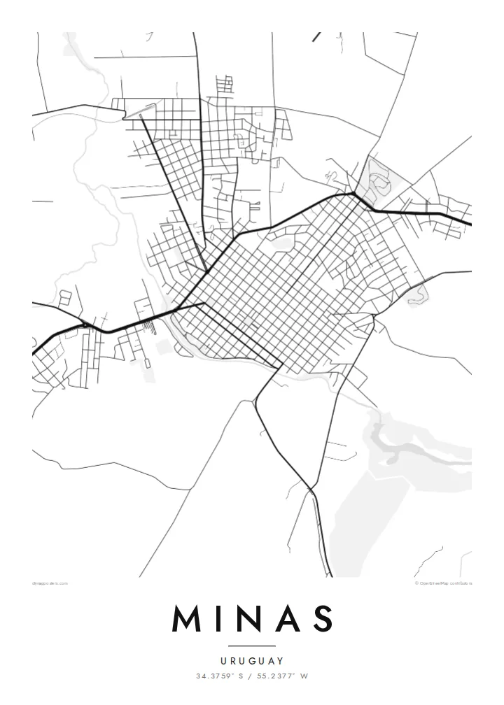
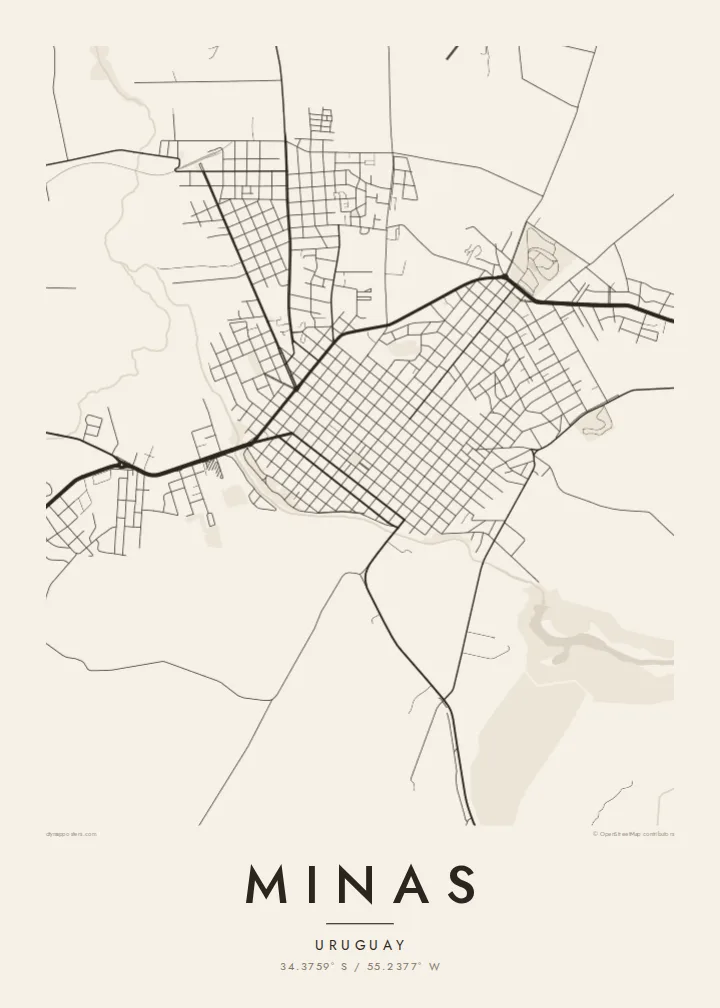
Square blocks spread from the main plaza in a precise pattern that fills the valley floor, a clean example of the Spanish colonial town plan.
Minimalistische kaartposter · Uruguay
34.3759° S / 55.2377° W
A gridded provincial capital held in a bowl of low granite hills, with parks climbing the slopes around it.



Eén stad, vijf sferen
Tik op een stijl om hem aan de muur te zien. Elke stijl kost hetzelfde — geprint, ingelijst of als HD-bestanden.
 Werkelijke pixels · 24 × 36″ printbestand
Haarscherp gedrukt
Dit is een uitsnede op ware grootte van het echte printbestand. Elke poster — geprint, ingelijst of gedownload — wordt op onze servers gerenderd op 300 DPI, tot 7,200 × 10,800 pixels, zodat zelfs de kleinste straatjes scherp blijven op een print van 24 × 36″.
Aan de muur


De kaart
Minas is the capital of Lavalleja Department in south-eastern Uruguay, set among the rolling Sierras de Minas. The centre is laid out on a regular grid of blocks around Plaza Libertad, and on a map the checkerboard stands out clearly against the irregular hills and creek valleys that surround it on every side.
The city is the birthplace of Juan Antonio Lavalleja, who led the Thirty-Three Orientals in 1825, and a monumental equestrian statue of José Artigas stands on Cerro Artigas above the town. Nearby springs supply Salus mineral water, one of the best-known brands in the country, and the wooded park around the source is a popular outing.
Streams wind around the edges of the grid and the terrain gives the map real texture, with roads bending as they leave the flat centre and head for the hills. A Minas map poster pairs that disciplined colonial plan with the looser lines of the countryside, a contrast that makes an unusually balanced composition.
Square blocks spread from the main plaza in a precise pattern that fills the valley floor, a clean example of the Spanish colonial town plan.
The hill on the edge of town carries a large equestrian monument to Artigas, and the roads climbing to it trace a winding line on the map.
Low granite hills and ravines ring the city, giving the surroundings a crumpled, hand-drawn quality that frames the orderly streets in the centre.
Maak hem persoonlijk
Voeg een datum, een naam of je eigen tekst toe, en wissel van stijl, formaat of oriëntatie.
De gratis voorbeeldweergave is lage resolutie met watermerk. Prints en HD-bestanden worden gerenderd op 300 DPI, tot 7,200 × 10,800 px, zonder watermerk.
Waarom Minas
This map suits people from Lavalleja who now live in Montevideo or abroad, visitors who spent weekends in the sierras, and anyone drawn to the neat logic of a grid town. The shape is compact and reads well even at A3.
The title, subtitle and coordinates line can all be personalised, so you can add a family name or the year you left. Choose one of five styles, Classic black & white, Noir, Paper, Blueprint or Sand, and download 300 DPI files for $9 or order a printed poster.
Bestel de poster Minas| Printformaat | Resolutie | Bestanden |
|---|---|---|
| 30 × 40 cm (11.8 × 15.7″) | 3,543 × 4,724 px | PNG · PDF |
| 29.7 × 42 cm (A3, 11.7 × 16.5″) | 3,508 × 4,961 px | PNG · PDF |
| 42 × 59.4 cm (A2, 16.5 × 23.4″) | 4,961 × 7,016 px | PNG · PDF |
| 45.7 × 61 cm (18 × 24″) | 5,400 × 7,200 px | PNG · PDF |
| 50 × 70 cm (19.7 × 27.6″) | 5,906 × 8,268 px | PNG · PDF |
| 61 × 91.4 cm (24 × 36″) | 7,200 × 10,800 px | PNG · PDF |
Ter vergelijking: de gratis preview is 900 px breed, heeft een watermerk en is bedoeld voor schermen. De HD-bestanden hebben tot 8× de resolutie in elke richting en worden haarscherp geprint op volledig posterformaat.
Kies bovenaan de pagina een stijl en kies dan voor Geprinte Poster — een formaat en eventueel een lijst — of Digitale HD-bestanden. Afrekenen kost één stap, en je bestelpagina wordt direct bijgewerkt zodra de betaling is verwerkt.
Hij wordt geprint op premium mat papier van 200 g/m² in een van zes formaten, van 30 × 40 cm tot 24 × 36″. Geprinte posters beginnen vanaf $39, verzending inbegrepen.
Ja. Kies een massief houten lijst in zwart, wit, natuurlijk eiken of donker hout. Inclusief breukvast glas en direct op te hangen. Ingelijste posters beginnen vanaf $99, verzending inbegrepen.
Verzending is wereldwijd gratis. Elke poster wordt gedrukt door de dichtstbijzijnde van onze drukpartners in meer dan 30 landen en is meestal binnen 3–7 werkdagen bij je. Je volgt de status en track & trace onder Mijn bestellingen. In een paar landen duurt het 2–5 weken, en waar we nog niet naartoe verzenden, laat de site dat je zien voordat je betaalt.
Stuur ons binnen 14 dagen na levering een foto en we printen hem gratis opnieuw of betalen je terug.
Ja. Pas in de editor op deze pagina de titel, de ondertitel en de coördinatenregel aan zoals je wilt, en kies een stijl en formaat. Geprinte, ingelijste en digitale bestellingen gebruiken allemaal precies jouw ontwerp.
Voor $9 krijg je PNG-bestanden op 300 DPI en printklare PDF's in alle zes formaten, zonder watermerk, om overal te printen. Nog niet zeker? Download eerst een gratis voorbeeld met watermerk.
