Streams and channels
Thin water lines run across the farmland around the town, feeding orchards and fields. They give the map a fine, branching texture beyond the streets.
Minimalistische kaartposter · India
33.8740° N / 74.8996° E
A Kashmir valley town among orchards, streams and raised karewa plateaus, south of Srinagar in the Jhelum basin
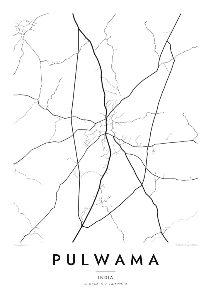

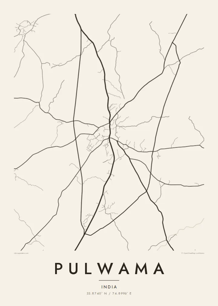


Eén stad, vijf sferen
Tik op een stijl om hem aan de muur te zien. Elke stijl kost hetzelfde — geprint, ingelijst of als HD-bestanden.
 Werkelijke pixels · 24 × 36″ printbestand
Haarscherp gedrukt
Dit is een uitsnede op ware grootte van het echte printbestand. Elke poster — geprint, ingelijst of gedownload — wordt op onze servers gerenderd op 300 DPI, tot 7,200 × 10,800 pixels, zodat zelfs de kleinste straatjes scherp blijven op een print van 24 × 36″.
Aan de muur


De kaart
Pulwama is a town in the Kashmir Valley, south of Srinagar. It sits in the broad basin of the Jhelum River, ringed by the Pir Panjal and the Himalayan ranges. The surrounding district is known for its dairy farming and for the saffron fields of the Pampore area, one of the few places in the world where saffron is grown on a large scale.
From above, the town is a compact cluster of lanes along its main roads. Around it, irrigation channels and small streams cross fields and orchards. The flat-topped karewa plateaus, typical of this part of the valley, rise as quiet shapes beyond the built-up area.
A Pulwama map poster focuses on the plain lines of the place: the roads out toward Srinagar and the southern valley, the thread of water through the fields, and the dense core of the town. It is a restrained, personal image of a place that many people call home.
Thin water lines run across the farmland around the town, feeding orchards and fields. They give the map a fine, branching texture beyond the streets.
The raised, flat-topped tablelands common in this part of Kashmir sit near the town. The saffron fields that made the wider district known are grown on this kind of ground.
Main roads connect Pulwama with Srinagar and other towns in the valley. They form the strongest lines on the sheet and frame the compact town centre.
Maak hem persoonlijk
Voeg een datum, een naam of je eigen tekst toe, en wissel van stijl, formaat of oriëntatie.
De gratis voorbeeldweergave is lage resolutie met watermerk. Prints en HD-bestanden worden gerenderd op 300 DPI, tot 7,200 × 10,800 px, zonder watermerk.
Waarom Pulwama
For Kashmiris living elsewhere in India or abroad, a map of Pulwama can hold a sense of place that photographs sometimes cannot. It keeps the layout of home simple, calm and recognisable.
Add a title in English, Urdu or Kashmiri script, a family name or date as a subtitle, and choose from five styles: Classic black & white, Noir, Paper, Blueprint and Sand. You can preview it for free before buying the $9 HD files.
Bestel de poster Pulwama| Printformaat | Resolutie | Bestanden |
|---|---|---|
| 30 × 40 cm11.8 × 15.7″ | 3,543 × 4,724 px | PNG · PDF |
| 29.7 × 42 cm (A3)11.7 × 16.5″ | 3,508 × 4,961 px | PNG · PDF |
| 42 × 59.4 cm (A2)16.5 × 23.4″ | 4,961 × 7,016 px | PNG · PDF |
| 45.7 × 61 cm18 × 24″ | 5,400 × 7,200 px | PNG · PDF |
| 50 × 70 cm19.7 × 27.6″ | 5,906 × 8,268 px | PNG · PDF |
| 61 × 91.4 cm24 × 36″ | 7,200 × 10,800 px | PNG · PDF |
Ter vergelijking: de gratis preview is 900 px breed, heeft een watermerk en is bedoeld voor schermen. De HD-bestanden hebben tot 8× de resolutie in elke richting en worden haarscherp geprint op volledig posterformaat.
Kies bovenaan de pagina een stijl en kies dan voor Geprinte Poster — een formaat en eventueel een lijst — of Digitale HD-bestanden. Afrekenen kost één stap, en je bestelpagina wordt direct bijgewerkt zodra de betaling is verwerkt.
Hij wordt geprint op premium mat papier van 200 g/m² in een van zes formaten, van 30 × 40 cm tot 24 × 36″. Geprinte posters beginnen vanaf $39, verzending inbegrepen.
Ja. Kies een massief houten lijst in zwart, wit, natuurlijk eiken of donker hout. Inclusief breukvast glas en direct op te hangen. Ingelijste posters beginnen vanaf $99, verzending inbegrepen.
Verzending is gratis naar 60+ landen. Elke poster wordt gedrukt door de dichtstbijzijnde van onze drukpartners in 30+ landen en komt meestal binnen 3–7 werkdagen aan. Je volgt de status en de tracking onder Mijn bestellingen. In een paar landen duurt het 2–5 weken, en als we nog niet naar jouw land verzenden, laat de site dat zien voordat je betaalt.
Stuur ons binnen 14 dagen na levering een foto en we printen hem gratis opnieuw of betalen je terug.
Ja. Pas in de editor op deze pagina de titel, de ondertitel en de coördinatenregel aan zoals je wilt, en kies een stijl en formaat. Geprinte, ingelijste en digitale bestellingen gebruiken allemaal precies jouw ontwerp.
Voor $9 krijg je PNG-bestanden op 300 DPI en printklare PDF's in alle zes formaten, zonder watermerk, om overal te printen. Nog niet zeker? Download eerst een gratis voorbeeld met watermerk.
