The canal ring
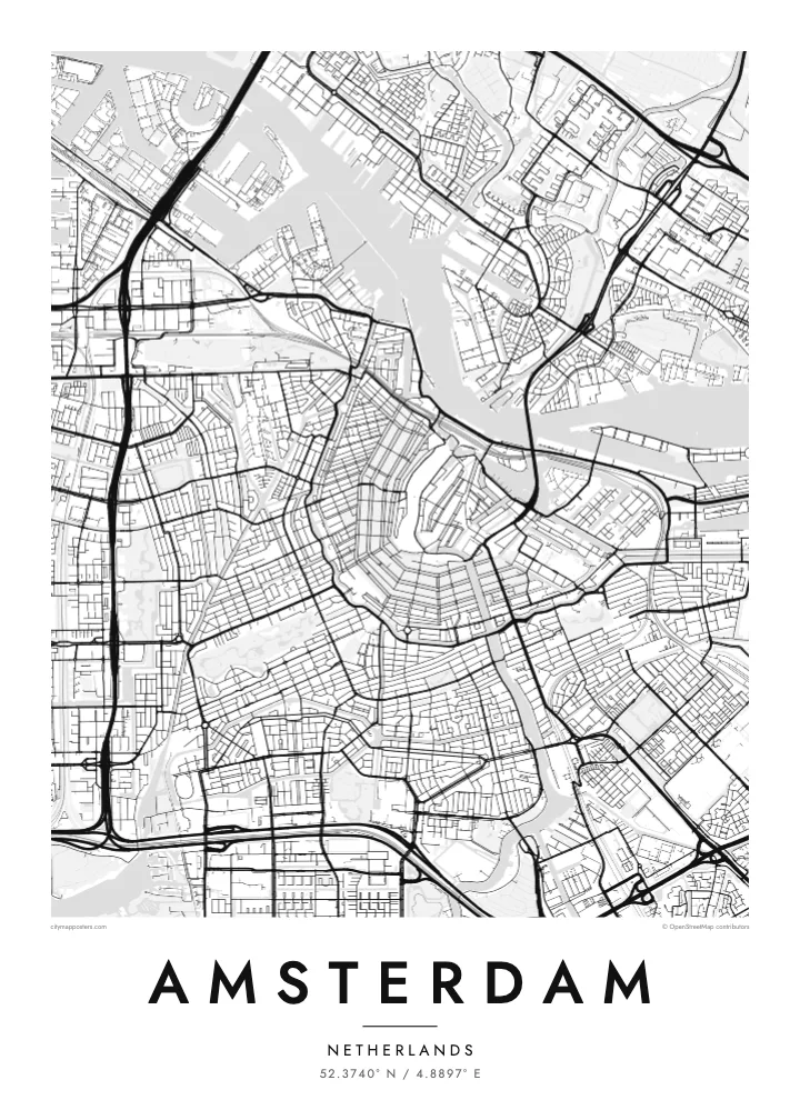
Herengracht, Keizersgracht and Prinsengracht wrap around the medieval core in three parallel arcs, forming the half-moon pattern that makes Amsterdam recognisable from above at a glance.
Positala ya mapu yosavuta · Netherlands
52.3740° N / 4.8897° E
Canals fan out in concentric half-rings from the old harbour, giving the city the look of a tree cut in cross-section.
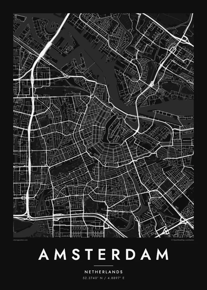
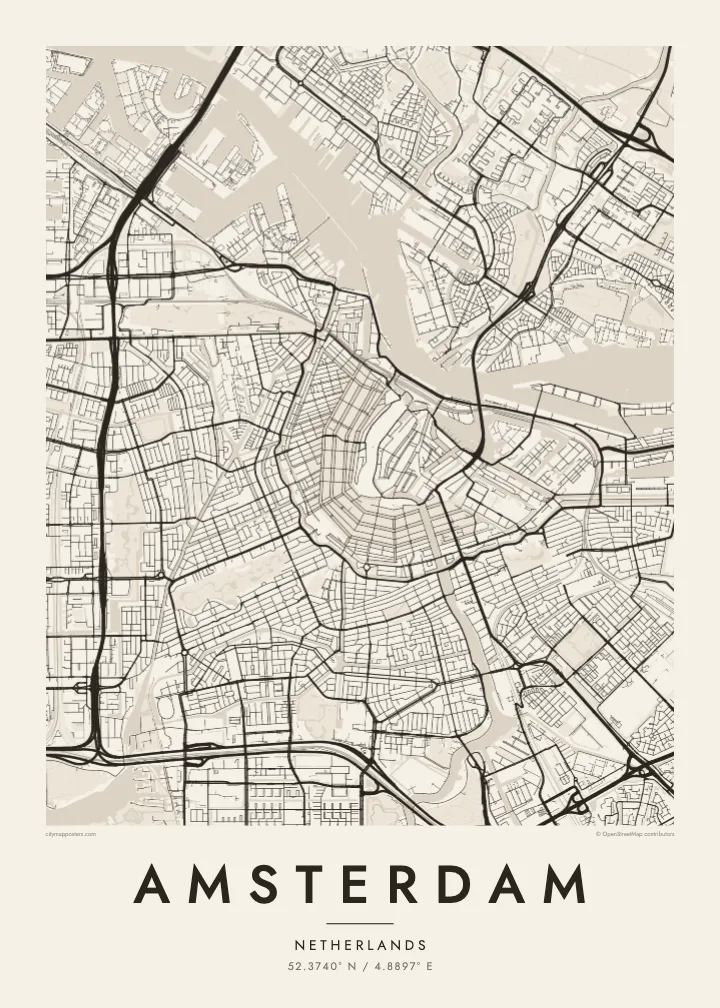

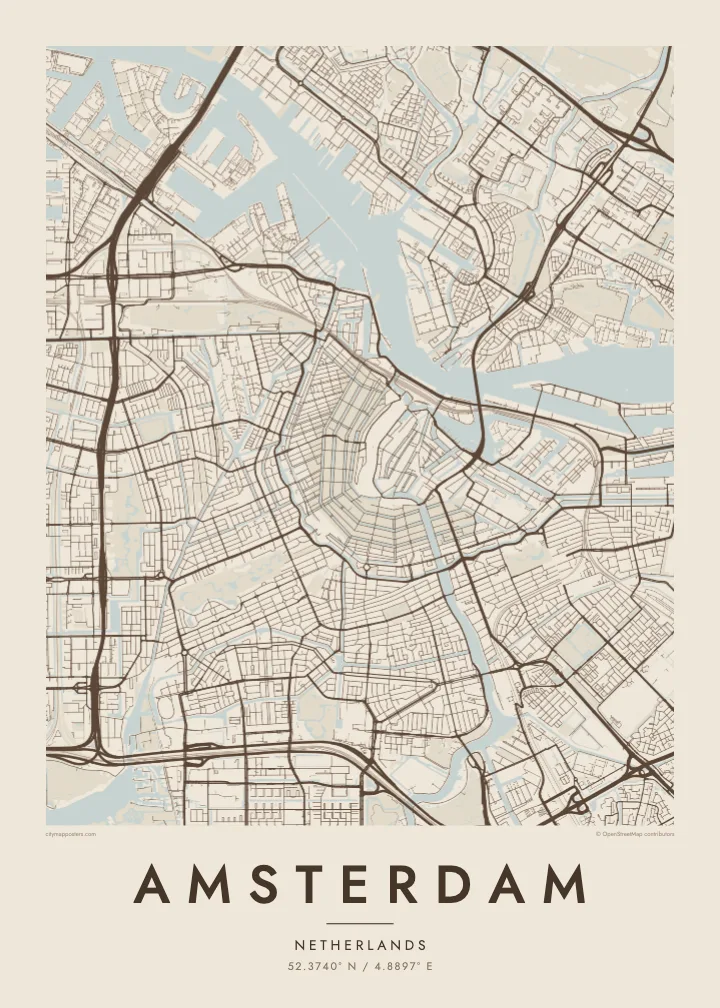
Mzinda umodzi, mawonekedwe asanu
Khudzani sitayelo kuti muwone pa khoma. Masitayelo onse amawononga ndalama zofanana — zosindikizidwa, zokutidwa mu chimango kapena ngati mafayilo a HD.
 Ma pixel enieni · fayilo yosindikiza 24 × 36″
Yowala posindikiza
Awa ndi chithunzi 100% chodulidwa cha fayilo yeniyeni yosindikiza. Poster iliyonse — yosindikizidwa, yokutidwa mu chimango kapena yotsitsidwa — imapangidwa pa maseva athu pa 300 DPI, mpaka ma pixel 7,200 × 10,800, choncho ngakhale misewu yaying'ono kwambiri imakhalabe yowoneka bwino pa kope la 24 × 36″.
Pakhoma


Mapu
Amsterdam takes its name from a dam on the Amstel, built near where the river met the IJ, and the street map still radiates from that point. The medieval centre sits close to the water, and around it the canals curve in concentric arcs, open to the north like a horseshoe laid against the harbour. Few cities show their growth so clearly in a single image.
The canal ring was dug in the seventeenth century, during the Dutch Golden Age, as a planned expansion for merchants' houses and warehouses. Herengracht, Keizersgracht and Prinsengracht follow one another outward in parallel curves, crossed by radial streets and countless small bridges. The ring was added to the UNESCO World Heritage list in 2010, and it remains the defining pattern on an Amsterdam map poster.
West of the ring, the Jordaan packs narrow streets and smaller canals at a slight angle to the rest. Further out, the city opens up: Vondelpark stretches southwest from the centre, the A10 ring road loops around the whole, and to the east the old docklands have been rebuilt on long, finger-like peninsulas reaching into the water.
Herengracht, Keizersgracht and Prinsengracht wrap around the medieval core in three parallel arcs, forming the half-moon pattern that makes Amsterdam recognisable from above at a glance.
Behind Centraal Station, which stands on artificial islands in the harbour, the broad IJ separates the historic centre from Amsterdam-Noord, linked mostly by free ferries that shuttle back and forth.
Opened in the nineteenth century, the city's best-known park forms a long, narrow shape southwest of the centre, its winding paths and ponds a soft contrast to the straight canal edges.
Ipangeni yanu
Onjezani tsiku, dzina kapena mawu anu, sinthani mawonekedwe, kukula kapena momwe yaimira.
Chitsanzo chaulere ndi chotsika mu resolution ndipo chili ndi chizindikiro chothira madzi. Zosindikizidwa ndi mafayilo a HD zimapangidwa pa 300 DPI, mpaka ma px 7,200 × 10,800, popanda chizindikiro chothira madzi.
Chifukwa chiyani Amsterdam
Amsterdam is small enough to know by heart, which is exactly why its map feels personal. People hang it to remember a flat on a canal, the route they cycled every morning, a long weekend in spring, or the city where a relationship began.
Add your own title and date, a street name, a pair of initials or a year, and pick one of five styles: Classic black & white, Noir, Paper, Blueprint or Sand. Blueprint makes the waterways especially striking, and Sand gives the rings of canals a warm, quiet tone.
Odara poster ya Amsterdam| Kukula kosindikiza | Mphamvu ya chithunzi | Mafayilo |
|---|---|---|
| 30 × 40 cm11.8 × 15.7″ | 3,543 × 4,724 px | PNG · PDF |
| 29.7 × 42 cm (A3)11.7 × 16.5″ | 3,508 × 4,961 px | PNG · PDF |
| 42 × 59.4 cm (A2)16.5 × 23.4″ | 4,961 × 7,016 px | PNG · PDF |
| 45.7 × 61 cm18 × 24″ | 5,400 × 7,200 px | PNG · PDF |
| 50 × 70 cm19.7 × 27.6″ | 5,906 × 8,268 px | PNG · PDF |
| 61 × 91.4 cm24 × 36″ | 7,200 × 10,800 px | PNG · PDF |
Poyerekeza, chithunzi chaulere ndi cha 900 px m'lifupi, chili ndi chizindikiro ndipo ndi cha pa sikirini. Mafayilo a HD ali ndi mphamvu yochulukira mpaka 8× mbali iliyonse ndipo amasindikizika bwino pa kukula konse kwa positala.
Sankhani sitayelo kumtunda kwa tsamba, kenako musankhe Poster Yosindikizidwa — kukula ndi, mukafuna, chimango — kapena Mafayilo a Digital HD. Kulipira kumatenga sitepe imodzi, ndipo tsamba la oda yanu limasinthidwa nthawi yomweyo pambuyo pa kulipira.
Imasindikizidwa pa pepala labwino la matte la 200 gsm mu kukula kumodzi mwa zisanu ndi chimodzi, kuyambira 30 × 40 cm mpaka 24 × 36″. Maposita osindikizidwa amayamba pa $39, kutumiza kuphatikizidwa.
Inde. Sankhani chimango cha mtengo wolimba mu utoto wakuda, woyera, oak wachilengedwe kapena mtengo wakuda. Chimabwera ndi galasi losathyoka ndipo chikonzekera kupachikidwa nthawi yomweyo. Maposita a mu chimango amayamba pa $99, kutumiza kuphatikizidwa.
Kutumiza ndi kwaulere kumayiko oposa 60. Positala iliyonse imasindikizidwa ndi mnzathu wosindikiza wapafupi kwambiri mwa anzathu m'mayiko oposa 30, ndipo nthawi zambiri imafika m'masiku 3–7 antchito. Mukhoza kutsatira momwe oda ilili ndi malo ake pa "Maoda Anga". Mayiko ena amatenga masabata 2–5, ndipo kumene sitinayambe kutumiza, tsambali likuuzani musanalipire.
Titumizireni chithunzi masiku 14 kuchokera pa tsiku la kutumiza ndipo tidzaisindikizanso kwaulere kapena kukubwezerani ndalama zanu.
Inde. Mu chida chokonzera pa tsambali, sinthani mutu, mutu wowonjezera ndi mzere wa ma coordinates kukhala chilichonse chomwe mufuna, ndipo sankhani sitayelo ndi kukula. Maoda osindikizidwa, a mu chimango ndi a digital onse amagwiritsa ntchito kapangidwe kanu enieni.
Pa $9 mumalandira mafayilo a PNG a 300 DPI ndi PDF okonzeka kusindikiza mu kukula konse kwa zisanu ndi chimodzi, popanda chizindikiro chothira madzi, kuti musindikize kulikonse. Simunatsimikize? Tsitsani kaye chitsanzo chaulere chokhala ndi chizindikiro chothira madzi.
Pafupi
