Museum Island
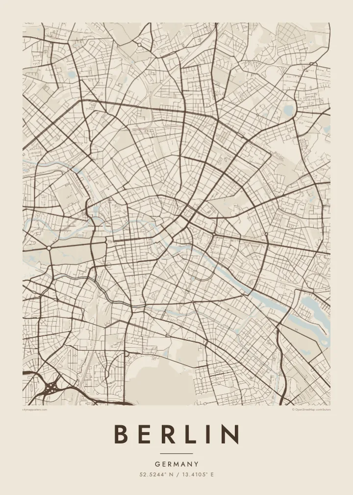
At the northern end of an island in the Spree, a cluster of five museums forms a UNESCO World Heritage site, and on the map the river divides neatly to hold it.
Positala ya mapu yosavuta · Germany
52.5244° N / 13.4105° E
A sprawling city of lakes and forests, threaded by the slow Spree, its centre held inside the circle of the Ringbahn.
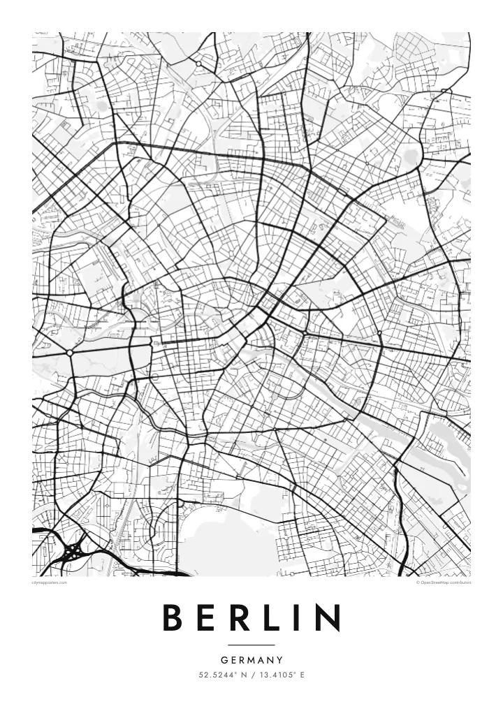
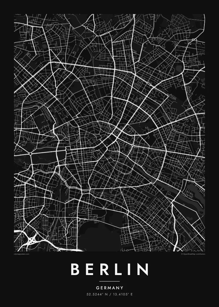
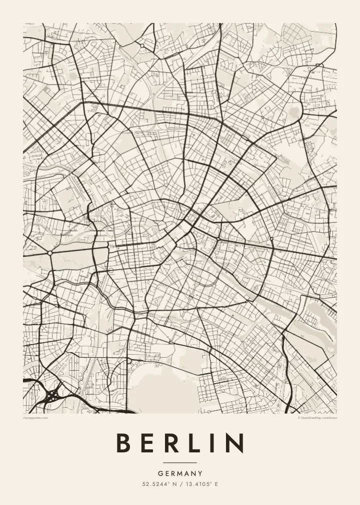
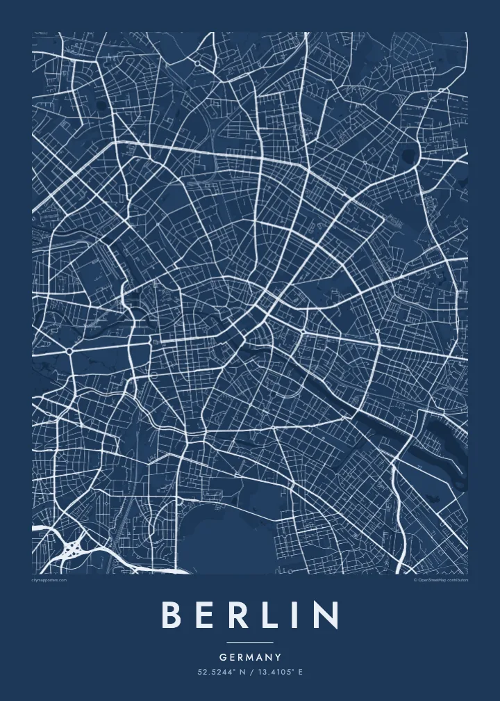
Mzinda umodzi, mawonekedwe asanu
Khudzani sitayelo kuti muwone pa khoma. Masitayelo onse amawononga ndalama zofanana — zosindikizidwa, zokutidwa mu chimango kapena ngati mafayilo a HD.
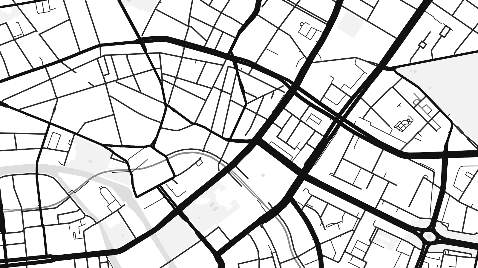 Ma pixel enieni · fayilo yosindikiza 24 × 36″
Yowala posindikiza
Awa ndi chithunzi 100% chodulidwa cha fayilo yeniyeni yosindikiza. Poster iliyonse — yosindikizidwa, yokutidwa mu chimango kapena yotsitsidwa — imapangidwa pa maseva athu pa 300 DPI, mpaka ma pixel 7,200 × 10,800, choncho ngakhale misewu yaying'ono kwambiri imakhalabe yowoneka bwino pa kope la 24 × 36″.
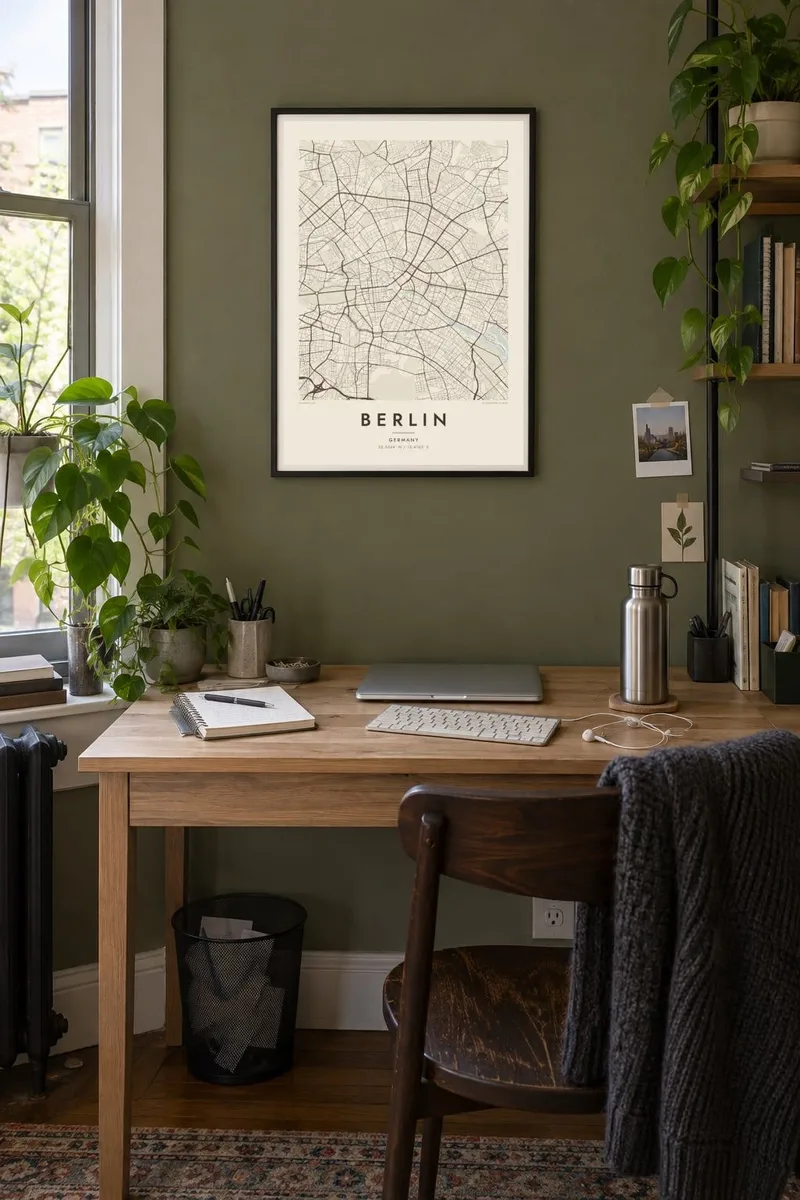
Pakhoma


Mapu
Berlin is large, spread out and surprisingly green. The street map shows a city assembled from many towns and villages, formally merged into Greater Berlin in 1920, so rather than one historic core there are several, each with its own knot of streets. Between them run broad avenues, rail corridors and wide open spaces that give the map room to breathe.
The Spree winds through the middle, splitting around Museum Island before continuing west past the government quarter and the Tiergarten, the great park that stretches from the Brandenburg Gate. Beyond the western districts the Havel widens into a chain of lakes including the Wannsee, and to the southeast the Müggelsee sits among forest. Water and woodland frame the city on almost every side.
The Berlin Wall divided the city from 1961 to 1989, and although it has largely vanished, its line still shows in places as a strip of parks, gaps and abrupt changes in street pattern. Around the centre, the Ringbahn traces a loop locals compare to a dog's head. A Berlin map poster holds all of it: divided history, open fields and quiet water.
At the northern end of an island in the Spree, a cluster of five museums forms a UNESCO World Heritage site, and on the map the river divides neatly to hold it.
Tempelhof Airport closed in 2008 and its airfield became a public park, leaving a vast open space in the south of the inner city with the outline of its two runways still visible.
Berlin's central park runs west from the Brandenburg Gate, cut straight through by the Straße des 17. Juni, with the Victory Column rising from the Großer Stern roundabout at its middle.
Ipangeni yanu
Onjezani tsiku, dzina kapena mawu anu, sinthani mawonekedwe, kukula kapena momwe yaimira.
Chitsanzo chaulere ndi chotsika mu resolution ndipo chili ndi chizindikiro chothira madzi. Zosindikizidwa ndi mafayilo a HD zimapangidwa pa 300 DPI, mpaka ma px 7,200 × 10,800, popanda chizindikiro chothira madzi.
Chifukwa chiyani Berlin
Berlin attracts people who stay longer than they planned. A map of the city suits anyone who moved there for a year and lingered for ten, who remembers it before the rents rose, or whose family story runs along one side of the old wall or the other.
Add a title and date that mean something to you, a neighbourhood, a street or a year, and choose from five styles: Classic black & white, Noir, Paper, Blueprint or Sand. Noir suits Berlin's long nights, while Paper brings out the soft outlines of its lakes and parks.
Odara poster ya Berlin| Kukula kosindikiza | Mphamvu ya chithunzi | Mafayilo |
|---|---|---|
| 30 × 40 cm (11.8 × 15.7″) | 3,543 × 4,724 px | PNG · PDF |
| 29.7 × 42 cm (A3, 11.7 × 16.5″) | 3,508 × 4,961 px | PNG · PDF |
| 42 × 59.4 cm (A2, 16.5 × 23.4″) | 4,961 × 7,016 px | PNG · PDF |
| 45.7 × 61 cm (18 × 24″) | 5,400 × 7,200 px | PNG · PDF |
| 50 × 70 cm (19.7 × 27.6″) | 5,906 × 8,268 px | PNG · PDF |
| 61 × 91.4 cm (24 × 36″) | 7,200 × 10,800 px | PNG · PDF |
Poyerekeza, chithunzi chaulere ndi cha 900 px m'lifupi, chili ndi chizindikiro ndipo ndi cha pa sikirini. Mafayilo a HD ali ndi mphamvu yochulukira mpaka 8× mbali iliyonse ndipo amasindikizika bwino pa kukula konse kwa positala.
Sankhani sitayelo kumtunda kwa tsamba, kenako musankhe Poster Yosindikizidwa — kukula ndi, mukafuna, chimango — kapena Mafayilo a Digital HD. Kulipira kumatenga sitepe imodzi, ndipo tsamba la oda yanu limasinthidwa nthawi yomweyo pambuyo pa kulipira.
Imasindikizidwa pa pepala labwino la matte la 200 gsm mu kukula kumodzi mwa zisanu ndi chimodzi, kuyambira 30 × 40 cm mpaka 24 × 36″. Maposita osindikizidwa amayamba pa {printFrom}, kutumiza kuphatikizidwa.
Inde. Sankhani chimango cha mtengo wolimba mu utoto wakuda, woyera, oak wachilengedwe kapena mtengo wakuda. Chimabwera ndi galasi losathyoka ndipo chikonzekera kupachikidwa nthawi yomweyo. Maposita a mu chimango amayamba pa {framedFrom}, kutumiza kuphatikizidwa.
Kutumiza ndi kwaulere padziko lonse lapansi. Poster iliyonse imasindikizidwa ndi wogwira nawo ntchito wosindikiza wapafupi kwambiri mwa mayiko oposa 30 ndipo nthawi zambiri imafika masiku 3-7 a ntchito. Mutha kutsata mkhalidwe ndi njira yoyendetsera pansi pa My Orders.
Titumizireni chithunzi masiku 14 kuchokera pa tsiku la kutumiza ndipo tidzaisindikizanso kwaulere kapena kukubwezerani ndalama zanu.
Inde. Mu chida chokonzera pa tsambali, sinthani mutu, mutu wowonjezera ndi mzere wa ma coordinates kukhala chilichonse chomwe mufuna, ndipo sankhani sitayelo ndi kukula. Maoda osindikizidwa, a mu chimango ndi a digital onse amagwiritsa ntchito kapangidwe kanu enieni.
Pa $9 mumalandira mafayilo a PNG a 300 DPI ndi PDF okonzeka kusindikiza mu kukula konse kwa zisanu ndi chimodzi, popanda chizindikiro chothira madzi, kuti musindikize kulikonse. Simunatsimikize? Tsitsani kaye chitsanzo chaulere chokhala ndi chizindikiro chothira madzi.
