Southern isthmus
A thin strip of land joins the main island to the Bukit peninsula, and the airport runway reaches out into the water beside it. It is the most recognisable detail of Bali's outline.
Positala ya mapu yosavuta · Indonesia
8.4558° S / 115.0715° E
A wide volcanic island with a chain of peaks across its north, terraced slopes below and a peninsula hanging from the south.
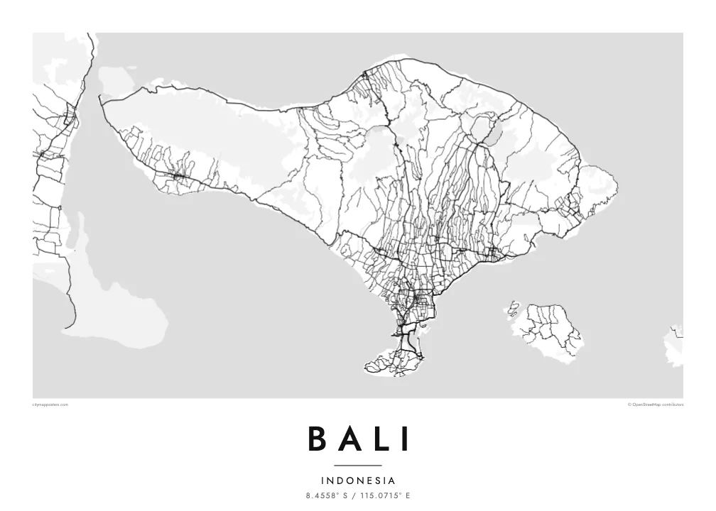
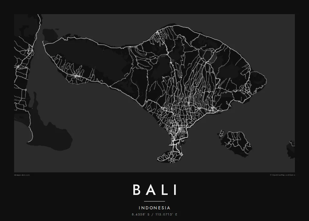
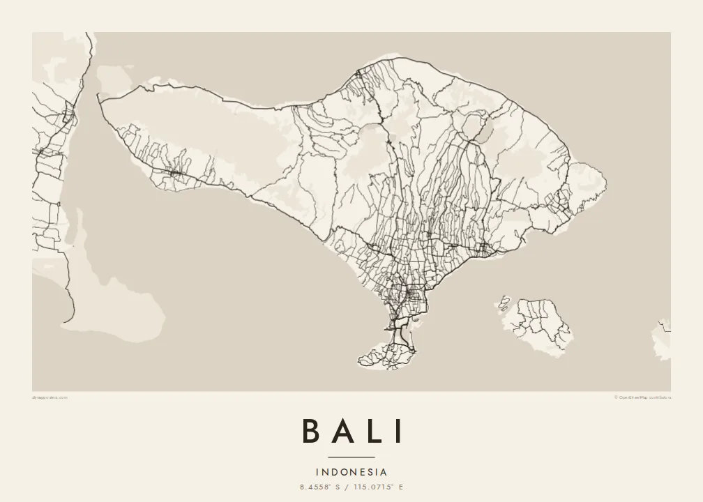

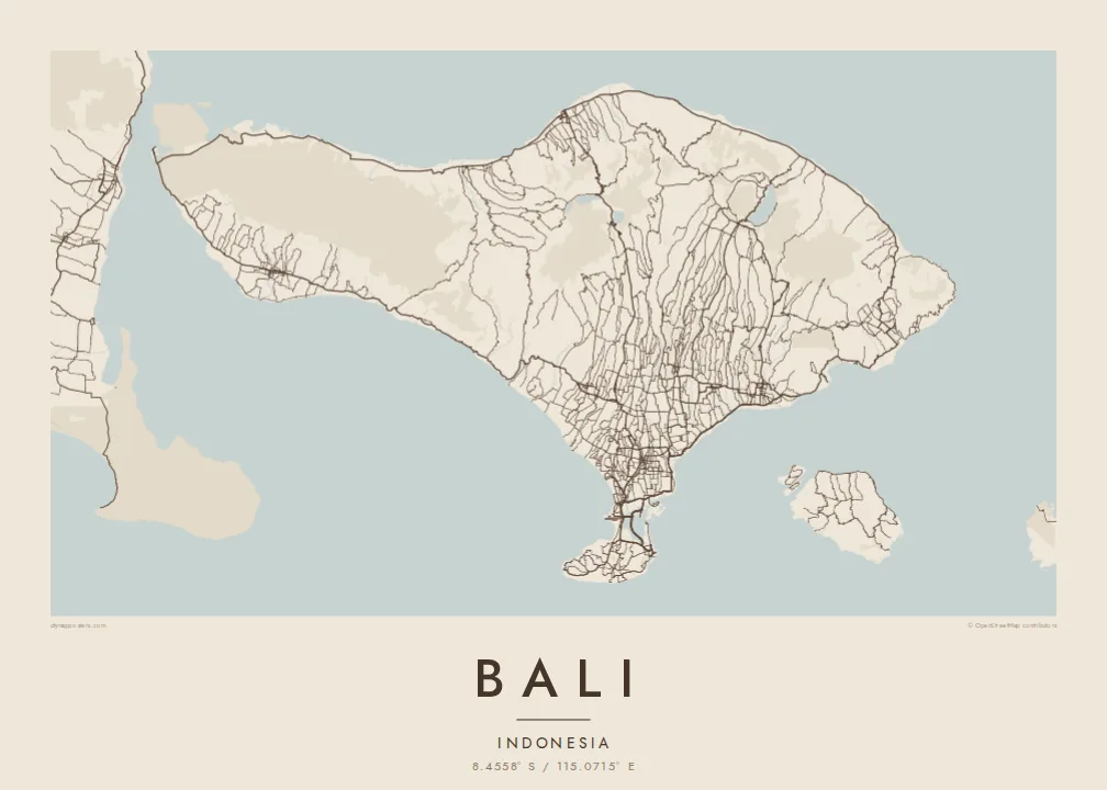
Mzinda umodzi, mawonekedwe asanu
Khudzani sitayelo kuti muwone pa khoma. Masitayelo onse amawononga ndalama zofanana — zosindikizidwa, zokutidwa mu chimango kapena ngati mafayilo a HD.
 Ma pixel enieni · fayilo yosindikiza 24 × 36″
Yowala posindikiza
Awa ndi chithunzi 100% chodulidwa cha fayilo yeniyeni yosindikiza. Poster iliyonse — yosindikizidwa, yokutidwa mu chimango kapena yotsitsidwa — imapangidwa pa maseva athu pa 300 DPI, mpaka ma pixel 7,200 × 10,800, choncho ngakhale misewu yaying'ono kwambiri imakhalabe yowoneka bwino pa kope la 24 × 36″.
Pakhoma


Mapu
Bali is an Indonesian island between Java and Lombok, wider from west to east than it is from north to south. A line of volcanoes runs across its northern half, from the forested west to Mount Agung, the highest peak, in the east. Mount Batur stands inside a vast caldera beside a large lake, and further west the crater lakes of Bratan, Buyan and Tamblingan lie close together.
South of the mountains, rivers cut long parallel valleys through slopes of rice terraces watered by the subak system, a traditional cooperative irrigation practice recognised by UNESCO. On a Bali map poster these valleys show as fine north-south lines, with roads following the ridges between them toward Ubud and down to the southern plain.
Most of the island's population and traffic gather in the south, around Denpasar, Kuta, Sanur and Seminyak. There, a narrow isthmus carries the airport, whose runway extends into the sea, toward the Bukit peninsula, a limestone plateau with steep cliffs. Bali is the only Hindu-majority province in Indonesia, and its temple sites range from sea cliffs to crater lakes.
A thin strip of land joins the main island to the Bukit peninsula, and the airport runway reaches out into the water beside it. It is the most recognisable detail of Bali's outline.
In the northeast, a wide volcanic basin holds Mount Batur and its lake, surrounded by a steep rim traced by roads and villages.
Rivers flowing south from the mountains carve closely spaced valleys, and the roads between them form a fine, combed pattern across the centre of the island.
Ipangeni yanu
Onjezani tsiku, dzina kapena mawu anu, sinthani mawonekedwe, kukula kapena momwe yaimira.
Chitsanzo chaulere ndi chotsika mu resolution ndipo chili ndi chizindikiro chothira madzi. Zosindikizidwa ndi mafayilo a HD zimapangidwa pa 300 DPI, mpaka ma px 7,200 × 10,800, popanda chizindikiro chothira madzi.
Chifukwa chiyani Bali
Bali is a place many people return to year after year, and some make it home. A map of the whole island holds the beaches of the south, the town of Ubud and the volcanoes of the north in one image that works in a bedroom, office or villa.
Choose the title, add a subtitle with a honeymoon date or a village name, and set the coordinates line. Select from five styles: Classic, Noir, Paper, Blueprint and Sand. Printed posters come on matte paper, with an optional wooden frame, from partners in 30+ countries.
Odara poster ya Bali| Kukula kosindikiza | Mphamvu ya chithunzi | Mafayilo |
|---|---|---|
| 30 × 40 cm (11.8 × 15.7″) | 3,543 × 4,724 px | PNG · PDF |
| 29.7 × 42 cm (A3, 11.7 × 16.5″) | 3,508 × 4,961 px | PNG · PDF |
| 42 × 59.4 cm (A2, 16.5 × 23.4″) | 4,961 × 7,016 px | PNG · PDF |
| 45.7 × 61 cm (18 × 24″) | 5,400 × 7,200 px | PNG · PDF |
| 50 × 70 cm (19.7 × 27.6″) | 5,906 × 8,268 px | PNG · PDF |
| 61 × 91.4 cm (24 × 36″) | 7,200 × 10,800 px | PNG · PDF |
Poyerekeza, chithunzi chaulere ndi cha 900 px m'lifupi, chili ndi chizindikiro ndipo ndi cha pa sikirini. Mafayilo a HD ali ndi mphamvu yochulukira mpaka 8× mbali iliyonse ndipo amasindikizika bwino pa kukula konse kwa positala.
Sankhani sitayelo kumtunda kwa tsamba, kenako musankhe Poster Yosindikizidwa — kukula ndi, mukafuna, chimango — kapena Mafayilo a Digital HD. Kulipira kumatenga sitepe imodzi, ndipo tsamba la oda yanu limasinthidwa nthawi yomweyo pambuyo pa kulipira.
Imasindikizidwa pa pepala labwino la matte la 200 gsm mu kukula kumodzi mwa zisanu ndi chimodzi, kuyambira 30 × 40 cm mpaka 24 × 36″. Maposita osindikizidwa amayamba pa $39, kutumiza kuphatikizidwa.
Inde. Sankhani chimango cha mtengo wolimba mu utoto wakuda, woyera, oak wachilengedwe kapena mtengo wakuda. Chimabwera ndi galasi losathyoka ndipo chikonzekera kupachikidwa nthawi yomweyo. Maposita a mu chimango amayamba pa $99, kutumiza kuphatikizidwa.
Kutumiza ndi kwaulere padziko lonse lapansi. Positala iliyonse imasindikizidwa ndi mnzathu wosindikiza wapafupi kwambiri mwa anzathu m'maiko opitirira 30 ndipo nthawi zambiri imafika m'masiku antchito 3–7. Mukhoza kuona momwe zilili ndi kutsata positalayo pa Maoda Anga. Maiko ena amatenga masabata 2–5, ndipo kumene sitinayambe kutumiza, tsambali limakuuzani musanalipire.
Titumizireni chithunzi masiku 14 kuchokera pa tsiku la kutumiza ndipo tidzaisindikizanso kwaulere kapena kukubwezerani ndalama zanu.
Inde. Mu chida chokonzera pa tsambali, sinthani mutu, mutu wowonjezera ndi mzere wa ma coordinates kukhala chilichonse chomwe mufuna, ndipo sankhani sitayelo ndi kukula. Maoda osindikizidwa, a mu chimango ndi a digital onse amagwiritsa ntchito kapangidwe kanu enieni.
Pa $9 mumalandira mafayilo a PNG a 300 DPI ndi PDF okonzeka kusindikiza mu kukula konse kwa zisanu ndi chimodzi, popanda chizindikiro chothira madzi, kuti musindikize kulikonse. Simunatsimikize? Tsitsani kaye chitsanzo chaulere chokhala ndi chizindikiro chothira madzi.
