Hachiman-bori canal
The old trade canal bends through the historic district below the mountain. On the poster it is a slim, deliberate line of water inside the orderly street grid.
Positala ya mapu yosavuta · Japan
35.1286° N / 136.0976° E
An old merchant town between Mount Hachiman and Lake Biwa, laced with a stone-lined canal and reed-filled lagoons.


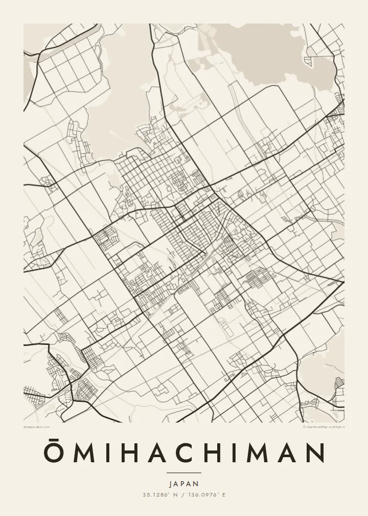

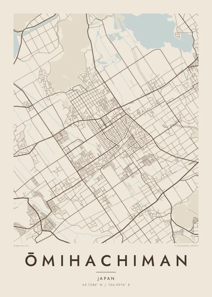
Mzinda umodzi, mawonekedwe asanu
Khudzani sitayelo kuti muwone pa khoma. Masitayelo onse amawononga ndalama zofanana — zosindikizidwa, zokutidwa mu chimango kapena ngati mafayilo a HD.
 Ma pixel enieni · fayilo yosindikiza 24 × 36″
Yowala posindikiza
Awa ndi chithunzi 100% chodulidwa cha fayilo yeniyeni yosindikiza. Poster iliyonse — yosindikizidwa, yokutidwa mu chimango kapena yotsitsidwa — imapangidwa pa maseva athu pa 300 DPI, mpaka ma pixel 7,200 × 10,800, choncho ngakhale misewu yaying'ono kwambiri imakhalabe yowoneka bwino pa kope la 24 × 36″.
Pakhoma


Mapu
Ōmihachiman lies on the eastern shore of Lake Biwa, Japan's largest lake. The historic core sits at the foot of Mount Hachiman, a small forested peak that once held a castle built by Toyotomi Hidetsugu in the late sixteenth century. Below it, the old town's streets form a tidy grid that the castle-town planners laid out for trade.
Running through that grid is the Hachiman-bori, a canal that linked the town to the lake and carried goods for the Ōmi merchants. These traders were famous across Japan for their business ethics. To the north and west, the map dissolves into the Nishinoko lagoons and reed beds, then open water, with Okishima further out, one of the rare inhabited islands in a freshwater lake.
In the twentieth century the American architect William Merrell Vories settled here and designed many buildings still standing in the town. An Ōmihachiman map poster brings together a surprising amount on one sheet: a grid of merchant streets, a canal curve, a wooded hill and the soft edges of the lake.
The old trade canal bends through the historic district below the mountain. On the poster it is a slim, deliberate line of water inside the orderly street grid.
This small forested peak, once the site of Hidetsugu's castle, rises directly behind the old town. It shows as a dark, unbuilt mass at the top of the grid.
Lagoons and reed beds open into the lake, where Okishima island floats offshore. Together they turn the northern half of the map into shoreline and water.
Ipangeni yanu
Onjezani tsiku, dzina kapena mawu anu, sinthani mawonekedwe, kukula kapena momwe yaimira.
Chitsanzo chaulere ndi chotsika mu resolution ndipo chili ndi chizindikiro chothira madzi. Zosindikizidwa ndi mafayilo a HD zimapangidwa pa 300 DPI, mpaka ma px 7,200 × 10,800, popanda chizindikiro chothira madzi.
Chifukwa chiyani Ōmihachiman
Ōmihachiman appeals to anyone who has walked its canal, studied the Ōmi merchants or admired Vories' buildings. Its mix of water and grid is also simply beautiful on paper. It makes a considered print for a reading room or a quiet corner.
Set the title in your own words, add a date or a line of text as the subtitle, and keep or edit the coordinates. Paper and Sand bring out the historic feel, while Noir makes the lake read as deep shadow. HD files are $9, and prints can be framed.
Odara poster ya Ōmihachiman| Kukula kosindikiza | Mphamvu ya chithunzi | Mafayilo |
|---|---|---|
| 30 × 40 cm11.8 × 15.7″ | 3,543 × 4,724 px | PNG · PDF |
| 29.7 × 42 cm (A3)11.7 × 16.5″ | 3,508 × 4,961 px | PNG · PDF |
| 42 × 59.4 cm (A2)16.5 × 23.4″ | 4,961 × 7,016 px | PNG · PDF |
| 45.7 × 61 cm18 × 24″ | 5,400 × 7,200 px | PNG · PDF |
| 50 × 70 cm19.7 × 27.6″ | 5,906 × 8,268 px | PNG · PDF |
| 61 × 91.4 cm24 × 36″ | 7,200 × 10,800 px | PNG · PDF |
Poyerekeza, chithunzi chaulere ndi cha 900 px m'lifupi, chili ndi chizindikiro ndipo ndi cha pa sikirini. Mafayilo a HD ali ndi mphamvu yochulukira mpaka 8× mbali iliyonse ndipo amasindikizika bwino pa kukula konse kwa positala.
Sankhani sitayelo kumtunda kwa tsamba, kenako musankhe Poster Yosindikizidwa — kukula ndi, mukafuna, chimango — kapena Mafayilo a Digital HD. Kulipira kumatenga sitepe imodzi, ndipo tsamba la oda yanu limasinthidwa nthawi yomweyo pambuyo pa kulipira.
Imasindikizidwa pa pepala labwino la matte la 200 gsm mu kukula kumodzi mwa zisanu ndi chimodzi, kuyambira 30 × 40 cm mpaka 24 × 36″. Maposita osindikizidwa amayamba pa $39, kutumiza kuphatikizidwa.
Inde. Sankhani chimango cha mtengo wolimba mu utoto wakuda, woyera, oak wachilengedwe kapena mtengo wakuda. Chimabwera ndi galasi losathyoka ndipo chikonzekera kupachikidwa nthawi yomweyo. Maposita a mu chimango amayamba pa $99, kutumiza kuphatikizidwa.
Kutumiza ndi kwaulere kumayiko oposa 60. Positala iliyonse imasindikizidwa ndi mnzathu wosindikiza wapafupi kwambiri mwa anzathu m'mayiko oposa 30, ndipo nthawi zambiri imafika m'masiku 3–7 antchito. Mukhoza kutsatira momwe oda ilili ndi malo ake pa "Maoda Anga". Mayiko ena amatenga masabata 2–5, ndipo kumene sitinayambe kutumiza, tsambali likuuzani musanalipire.
Titumizireni chithunzi masiku 14 kuchokera pa tsiku la kutumiza ndipo tidzaisindikizanso kwaulere kapena kukubwezerani ndalama zanu.
Inde. Mu chida chokonzera pa tsambali, sinthani mutu, mutu wowonjezera ndi mzere wa ma coordinates kukhala chilichonse chomwe mufuna, ndipo sankhani sitayelo ndi kukula. Maoda osindikizidwa, a mu chimango ndi a digital onse amagwiritsa ntchito kapangidwe kanu enieni.
Pa $9 mumalandira mafayilo a PNG a 300 DPI ndi PDF okonzeka kusindikiza mu kukula konse kwa zisanu ndi chimodzi, popanda chizindikiro chothira madzi, kuti musindikize kulikonse. Simunatsimikize? Tsitsani kaye chitsanzo chaulere chokhala ndi chizindikiro chothira madzi.
Pafupi
