White River meanders
The river loops through Anderson in wide curves, and its tree-lined floodplain appears as a soft, irregular ribbon cutting across the otherwise rectangular pattern of Indiana streets.
Posta faʻafanua faigofie · United States
40.1053° N / 85.6803° W
A Hoosier city laid out along the looping White River, with an older grid downtown and wide industrial tracts around it.


Tasi le aai, lagona e lima
Tapi se sitaili e vaai ai i luga o le puipui. E tutusa uma le tau o sitaili — pe lolomiina, faapipiiina, pe avea ma faila HD.
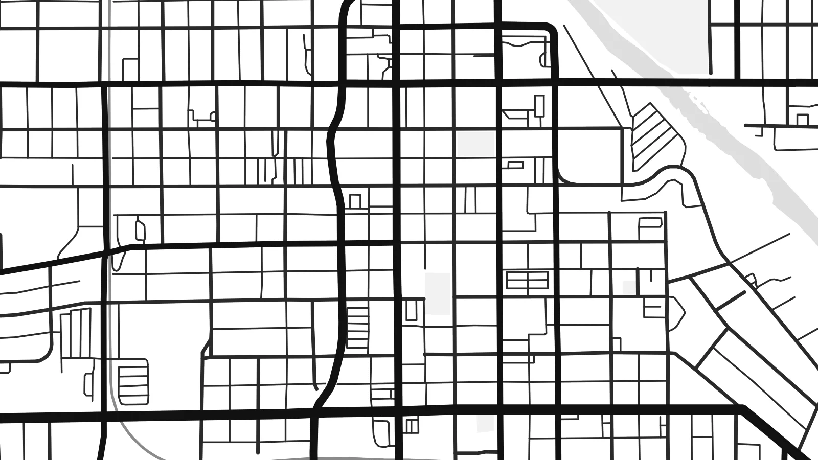 Pika Moni · Faila Lolomi 24 × 36″
Manino mo le lolomi
O se vaega atoa (100%) lenei mai le faila lolomi moni. O posita uma — pe lolomiina, faapipiiina pe download mai — e faia i luga o a matou server i le 300 DPI, e oo atu i le 7,200 × 10,800 pika, ina ia manino pea auala laiti i luga o se lolomiga 24 × 36″.
I luga o le puipui


Le faʻafanua
Anderson, the seat of Madison County in central Indiana, grew along the West Fork of the White River, and the river still sets the tone of the map. It enters from the east, swings in broad meanders past the downtown and leaves a band of wooded floodplain that separates neighbourhoods on either bank. Bridges cross at intervals, each one a small pinch point in the street network.
For much of the twentieth century Anderson was a centre of automotive parts manufacturing, with General Motors divisions such as Delco Remy and Guide Lamp employing thousands. Many of those plants are gone, but their footprints remain visible as large open parcels and rail spurs beside the regular grid of the older town. Anderson University, founded by the Church of God, adds a campus of lawns and paths east of the centre.
Just east of the city, Mounds State Park preserves earthworks built by Adena and Hopewell peoples roughly two thousand years ago, set on a bluff above the same river. An Anderson map poster can include that stretch of water and woodland, framing the town between its industrial past and a much older landscape. Interstate 69 runs along the eastern flank and closes the composition neatly.
The river loops through Anderson in wide curves, and its tree-lined floodplain appears as a soft, irregular ribbon cutting across the otherwise rectangular pattern of Indiana streets.
The original town centre sits on a compact grid close to the river, a tight cluster of short blocks that contrasts clearly with the looser residential streets and commercial roads beyond.
East of town, the park's ancient earthworks sit above a bend of the White River, where footpaths and woodland give the edge of the map an irregular, quieter texture.
Fai mo oe
Faʻaopoopo se aso, se igoa po o sau lava upu, sui le sitaili, lapoʻa po o le itu.
O le preview e leai se totogi e maualalo le resolution ma iai se watermark. O lolomi ma faila HD e faia i le 300 DPI, e oo atu i le 7,200 × 10,800 px, e aunoa ma se watermark.
Aisea Anderson
Anderson is a city of long family ties, of factory shifts and university years, and many people who left still carry its street names with them. A map on the wall keeps the river bends and the old grid close, whether you live there now or grew up there.
Personalise the title, subtitle and coordinates, perhaps with a graduation year or the date you moved, and pick one of five styles: Classic black & white, Noir, Paper, Blueprint or Sand. A free 900 px preview lets you check the framing before buying.
Faatau le posita Anderson| Lapoʻa lolomi | Manino | Faila |
|---|---|---|
| 30 × 40 cm11.8 × 15.7″ | 3,543 × 4,724 px | PNG · PDF |
| 29.7 × 42 cm (A3)11.7 × 16.5″ | 3,508 × 4,961 px | PNG · PDF |
| 42 × 59.4 cm (A2)16.5 × 23.4″ | 4,961 × 7,016 px | PNG · PDF |
| 45.7 × 61 cm18 × 24″ | 5,400 × 7,200 px | PNG · PDF |
| 50 × 70 cm19.7 × 27.6″ | 5,906 × 8,268 px | PNG · PDF |
| 61 × 91.4 cm24 × 36″ | 7,200 × 10,800 px | PNG · PDF |
Ae faʻatusatusa, o le faʻataʻitaʻiga e leai se totogi e 900 px le lautele, e iai le faʻailoga vai ma e mo mata. O faila HD e oʻo atu i le 8× le manino i itu taʻitasi ma e lolomi manino i le lapoʻa atoa o le posta.
Filifili se sitaili i le pito i luga o le itulau, ona filifili lea o le Posita Lolomi — se lapopoa ma, afai e te fiafia, se faavaa — po o Faila HD Numera. E na o le tasi laasaga o le Checkout, ma o le a fesuia'i lou itulau o oka i le taimi lava e mae'a ai le totogi.
E lolomiina i luga o pepa matte maualuga le tulaga e 200 gsm, i se tasi o lapopoa e ono, mai le 30 × 40 cm i le 24 × 36″. E amata le tau o posita lolomi mai le $39, aofia ai le auina atu.
Ioe. Filifili se faavaa laau malosi i le lanu uliuli, sina, oak masani, po o le laau pogisa. E aofia ai se tioata e le gau ma ua saunia e tautau i luga. E amata le tau o posita faavaa mai le $99, aofia ai le auina atu.
E leai se totogi o le auina atu i atunuu e 60+. O pepa ata taʻitasi e lolomiina e le tasi o matou paaga lolomi e latalata mai i atunuu e 30+, ma e masani ona taunuu i le 3–7 aso faigaluega. E mafai ona e mulimulitaia le tulaga ma le sailiga i lalo o My Orders. O nisi atunuu e 2–5 vaiaso, ma i nofoaga e lei matou auina atu iai, e taʻu atu e le saite ia te oe a o lei totogi.
Auina mai se ata i totonu o le 14 aso talu ona taunuu, ma o le a matou toe lolomiina e leai se totogi po o le toe faafoi atu lau tupe.
Ioe. I totonu o le editor i lenei itulau, suia le ulutala, le ulutala laititi ma le laina o coordinates i soo se mea e te fiafia i ai, ma filifili se sitaili ma le lapopoa. O oka lolomi, faavaa ma numera e faaaoga uma lava lau mamanu.
Mo le $9 e te maua ai faila PNG 300 DPI ma PDF ua saunia mo le lolomi i lapopoa uma e ono, e aunoa ma se watermark, e mafai ona lolomi i soo se mea. Le mautinoa lava? Download muamua se preview e leai se totogi ma le watermark.
Latalata ane
