Lake Michigan shore
The city's eastern edge is a long, almost straight shoreline, broken by harbours, beaches and parkland. On the poster it reads as a single confident line against open water.
Posta faʻafanua faigofie · United States
41.8500° N / 87.6500° W
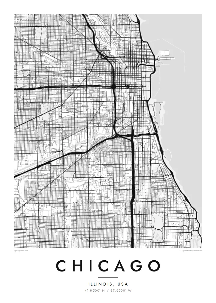
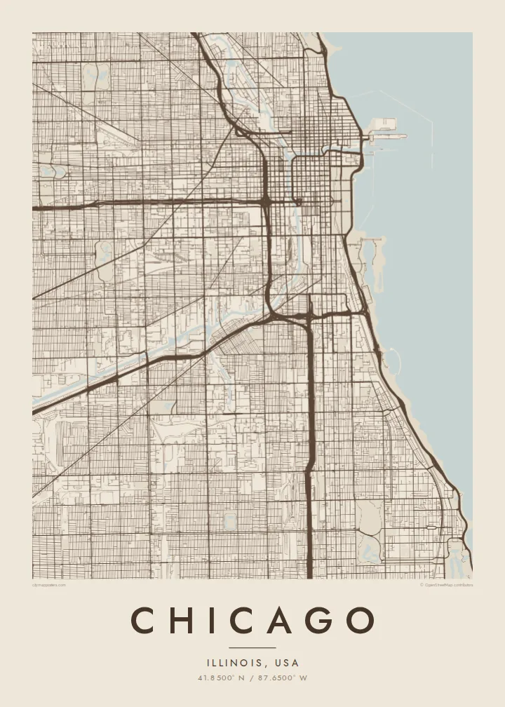
A vast street grid pressed against Lake Michigan, split by a forked river and crossed by long diagonal avenues.
Tasi le aai, lagona e lima
Tapi se sitaili e vaai ai i luga o le puipui. E tutusa uma le tau o sitaili — pe lolomiina, faapipiiina, pe avea ma faila HD.
 Pika Moni · Faila Lolomi 24 × 36″
Manino mo le lolomi
O se vaega atoa (100%) lenei mai le faila lolomi moni. O posita uma — pe lolomiina, faapipiiina pe download mai — e faia i luga o a matou server i le 300 DPI, e oo atu i le 7,200 × 10,800 pika, ina ia manino pea auala laiti i luga o se lolomiga 24 × 36″.
I luga o le puipui


Le faʻafanua
Chicago is one of the clearest grid cities in the world. Addresses are numbered from a single origin at State and Madison streets downtown, and the streets run north–south and east–west with remarkable regularity, usually eight blocks to the mile. Cutting across the grid are a handful of older diagonal routes, such as Milwaukee, Ogden and Archer avenues, which follow early trails into the city.
To the east, the grid stops at Lake Michigan, and a long chain of lakefront parks runs along much of the shoreline, from Lincoln Park in the north to Jackson Park in the south. The Chicago River enters the lake beside the Loop and splits into north and south branches, famous for having had its flow reversed in 1900 to carry water away from the lake.
The Loop, the downtown business district, takes its name from the ring of elevated rail tracks that circles it. A Chicago map poster makes the logic of the city visible at once: the ruled grid, the angled diagonals, the branching river and the long clean edge of the lake, all of it holding together across a very large area.
The city's eastern edge is a long, almost straight shoreline, broken by harbours, beaches and parkland. On the poster it reads as a single confident line against open water.
The Chicago River runs inland from the lake and divides into a north and a south branch, a Y shape threaded with bridges near downtown.
Several old routes run at an angle across the regular grid, creating triangular blocks and six-way intersections that stand out immediately against the square pattern.
Fai mo oe
Faʻaopoopo se aso, se igoa po o sau lava upu, sui le sitaili, lapoʻa po o le itu.
O le preview e leai se totogi e maualalo le resolution ma iai se watermark. O lolomi ma faila HD e faia i le 300 DPI, e oo atu i le 7,200 × 10,800 px, e aunoa ma se watermark.
Aisea Chicago
Chicagoans often identify with a neighbourhood, a side of town or a stretch of the lakefront, and the grid makes it easy to find your own corner on the map. It also works well for anyone who has moved away and misses the city.
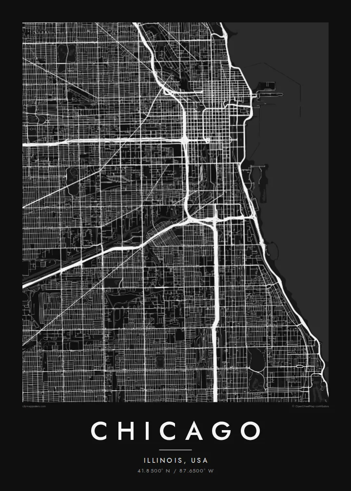
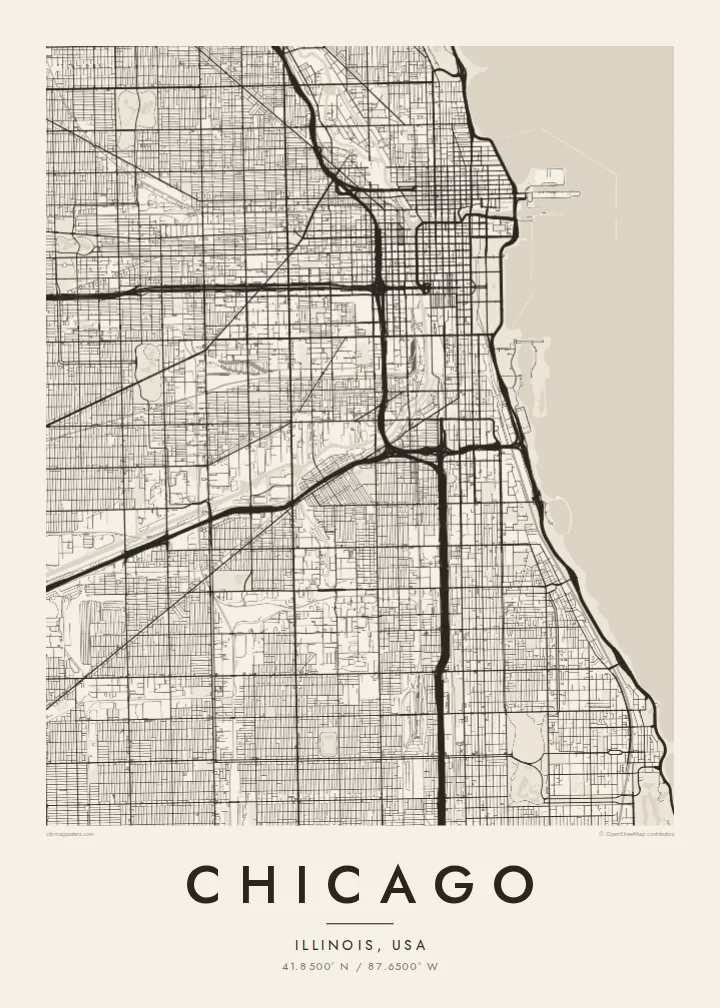
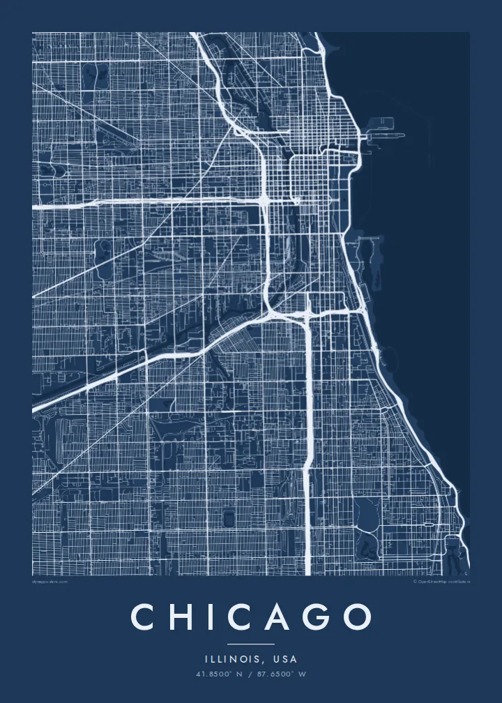
Add a title, a subtitle with a year or neighbourhood, and your own coordinates. Choose from Classic black & white, Noir, Paper, Blueprint and Sand, then order a print from a nearby partner or download the HD files for $9.
Faatau le posita Chicago| Lapoʻa lolomi | Manino | Faila |
|---|---|---|
| 30 × 40 cm (11.8 × 15.7″) | 3,543 × 4,724 px | PNG · PDF |
| 29.7 × 42 cm (A3, 11.7 × 16.5″) | 3,508 × 4,961 px | PNG · PDF |
| 42 × 59.4 cm (A2, 16.5 × 23.4″) | 4,961 × 7,016 px | PNG · PDF |
| 45.7 × 61 cm (18 × 24″) | 5,400 × 7,200 px | PNG · PDF |
| 50 × 70 cm (19.7 × 27.6″) | 5,906 × 8,268 px | PNG · PDF |
| 61 × 91.4 cm (24 × 36″) | 7,200 × 10,800 px | PNG · PDF |
Ae faʻatusatusa, o le faʻataʻitaʻiga e leai se totogi e 900 px le lautele, e iai le faʻailoga vai ma e mo mata. O faila HD e oʻo atu i le 8× le manino i itu taʻitasi ma e lolomi manino i le lapoʻa atoa o le posta.
Filifili se sitaili i le pito i luga o le itulau, ona filifili lea o le Posita Lolomi — se lapopoa ma, afai e te fiafia, se faavaa — po o Faila HD Numera. E na o le tasi laasaga o le Checkout, ma o le a fesuia'i lou itulau o oka i le taimi lava e mae'a ai le totogi.
E lolomiina i luga o pepa matte maualuga le tulaga e 200 gsm, i se tasi o lapopoa e ono, mai le 30 × 40 cm i le 24 × 36″. E amata le tau o posita lolomi mai le $39, aofia ai le auina atu.
Ioe. Filifili se faavaa laau malosi i le lanu uliuli, sina, oak masani, po o le laau pogisa. E aofia ai se tioata e le gau ma ua saunia e tautau i luga. E amata le tau o posita faavaa mai le $99, aofia ai le auina atu.
E leai se totogi mo le uta i le lalolagi atoa. O poster ta'itasi e lolomi e le paaga lolomi e latalata mai i matou i atunuu e 30+, ma e masani ona taunuu i aso faigaluega e 3–7. E mafai ona e mulimuli i le tulaga ma le tracking i le "Aʻu Oka". O nisi atunuu e 2–5 vaiaso, ma i atunuu matou te lei tuuina atu ai, e taʻu atu e le saite iā te oe ae e te leʻi totogiina.
Auina mai se ata i totonu o le 14 aso talu ona taunuu, ma o le a matou toe lolomiina e leai se totogi po o le toe faafoi atu lau tupe.
Ioe. I totonu o le editor i lenei itulau, suia le ulutala, le ulutala laititi ma le laina o coordinates i soo se mea e te fiafia i ai, ma filifili se sitaili ma le lapopoa. O oka lolomi, faavaa ma numera e faaaoga uma lava lau mamanu.
Mo le $9 e te maua ai faila PNG 300 DPI ma PDF ua saunia mo le lolomi i lapopoa uma e ono, e aunoa ma se watermark, e mafai ona lolomi i soo se mea. Le mautinoa lava? Download muamua se preview e leai se totogi ma le watermark.
