Aruwimi confluence
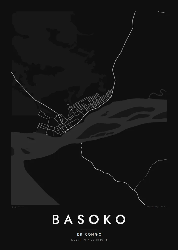
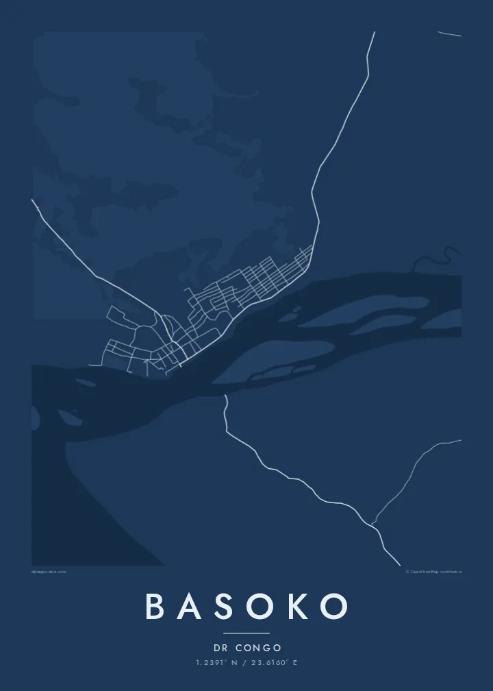
The Aruwimi enters the Congo beside the town, and the joining of two large rivers creates the strongest shape on the map, a fork of water around the settlement.
Posta faʻafanua faigofie · Congo - Kinshasa
1.2391° N / 23.6160° E
A river town where the Aruwimi joins the Congo, surrounded by forest, islands and wide channels



Tasi le aai, lagona e lima
Tapi se sitaili e vaai ai i luga o le puipui. E tutusa uma le tau o sitaili — pe lolomiina, faapipiiina, pe avea ma faila HD.
 Pika Moni · Faila Lolomi 24 × 36″
Manino mo le lolomi
O se vaega atoa (100%) lenei mai le faila lolomi moni. O posita uma — pe lolomiina, faapipiiina pe download mai — e faia i luga o a matou server i le 300 DPI, e oo atu i le 7,200 × 10,800 pika, ina ia manino pea auala laiti i luga o se lolomiga 24 × 36″.
I luga o le puipui


Le faʻafanua
Basoko stands on the bank of the Congo River in Tshopo province, at the point where the Aruwimi River flows in from the east. On a map the rivers dominate: broad channels, sandbanks and wooded islands around a compact settlement of streets set back from the water. Beyond, the land is equatorial forest crossed by very few roads.
The confluence made the town a natural stopping point for river traffic, and it served as a station during the colonial period, when steamers carried goods and people along the Congo between Kinshasa and Kisangani. River transport still matters more here than roads, which is visible in how the whole town faces the water.
A Basoko map poster is mostly about water and scale. The town itself is small, and the rivers around it are immense by comparison, so the print becomes a study of meeting currents, islands and shoreline, with the street pattern as a small precise detail on the bank of the great river.
The Aruwimi enters the Congo beside the town, and the joining of two large rivers creates the strongest shape on the map, a fork of water around the settlement.
The Congo here is broken into several channels by long forested islands and sandbanks, drawn as pale shapes separated by threads of water.
The streets form a small, compact pattern along the bank, oriented to the water that has long been the town's main connection to the rest of the country.
Fai mo oe
Faʻaopoopo se aso, se igoa po o sau lava upu, sui le sitaili, lapoʻa po o le itu.
O le preview e leai se totogi e maualalo le resolution ma iai se watermark. O lolomi ma faila HD e faia i le 300 DPI, e oo atu i le 7,200 × 10,800 px, e aunoa ma se watermark.
Aisea Basoko
This is a map for people with roots in Tshopo, travellers who have made the river journey, or anyone drawn to places defined by great rivers. The composition is bold and simple, closer to a landscape drawing than a street plan.
You can write your own title and subtitle and adjust the coordinates line, then choose from Classic black and white, Noir, Paper, Blueprint and Sand. Order the $9 HD files for home printing or a printed poster shipped from a partner near you.
Faatau le posita Basoko| Lapoʻa lolomi | Manino | Faila |
|---|---|---|
| 30 × 40 cm (11.8 × 15.7″) | 3,543 × 4,724 px | PNG · PDF |
| 29.7 × 42 cm (A3, 11.7 × 16.5″) | 3,508 × 4,961 px | PNG · PDF |
| 42 × 59.4 cm (A2, 16.5 × 23.4″) | 4,961 × 7,016 px | PNG · PDF |
| 45.7 × 61 cm (18 × 24″) | 5,400 × 7,200 px | PNG · PDF |
| 50 × 70 cm (19.7 × 27.6″) | 5,906 × 8,268 px | PNG · PDF |
| 61 × 91.4 cm (24 × 36″) | 7,200 × 10,800 px | PNG · PDF |
Ae faʻatusatusa, o le faʻataʻitaʻiga e leai se totogi e 900 px le lautele, e iai le faʻailoga vai ma e mo mata. O faila HD e oʻo atu i le 8× le manino i itu taʻitasi ma e lolomi manino i le lapoʻa atoa o le posta.
Filifili se sitaili i le pito i luga o le itulau, ona filifili lea o le Posita Lolomi — se lapopoa ma, afai e te fiafia, se faavaa — po o Faila HD Numera. E na o le tasi laasaga o le Checkout, ma o le a fesuia'i lou itulau o oka i le taimi lava e mae'a ai le totogi.
E lolomiina i luga o pepa matte maualuga le tulaga e 200 gsm, i se tasi o lapopoa e ono, mai le 30 × 40 cm i le 24 × 36″. E amata le tau o posita lolomi mai le {printFrom}, aofia ai le auina atu.
Ioe. Filifili se faavaa laau malosi i le lanu uliuli, sina, oak masani, po o le laau pogisa. E aofia ai se tioata e le gau ma ua saunia e tautau i luga. E amata le tau o posita faavaa mai le {framedFrom}, aofia ai le auina atu.
E leai se totogi mo le uta i le lalolagi atoa. O poster ta'itasi e lolomi e le paaga lolomi e latalata mai i matou i atunuu e 30+, ma e masani ona taunuu i aso faigaluega e 3–7. E mafai ona e mulimuli i le tulaga ma le tracking i le "Aʻu Oka". O nisi atunuu e 2–5 vaiaso, ma i atunuu matou te lei tuuina atu ai, e taʻu atu e le saite iā te oe ae e te leʻi totogiina.
Auina mai se ata i totonu o le 14 aso talu ona taunuu, ma o le a matou toe lolomiina e leai se totogi po o le toe faafoi atu lau tupe.
Ioe. I totonu o le editor i lenei itulau, suia le ulutala, le ulutala laititi ma le laina o coordinates i soo se mea e te fiafia i ai, ma filifili se sitaili ma le lapopoa. O oka lolomi, faavaa ma numera e faaaoga uma lava lau mamanu.
Mo le $9 e te maua ai faila PNG 300 DPI ma PDF ua saunia mo le lolomi i lapopoa uma e ono, e aunoa ma se watermark, e mafai ona lolomi i soo se mea. Le mautinoa lava? Download muamua se preview e leai se totogi ma le watermark.
Latalata ane
